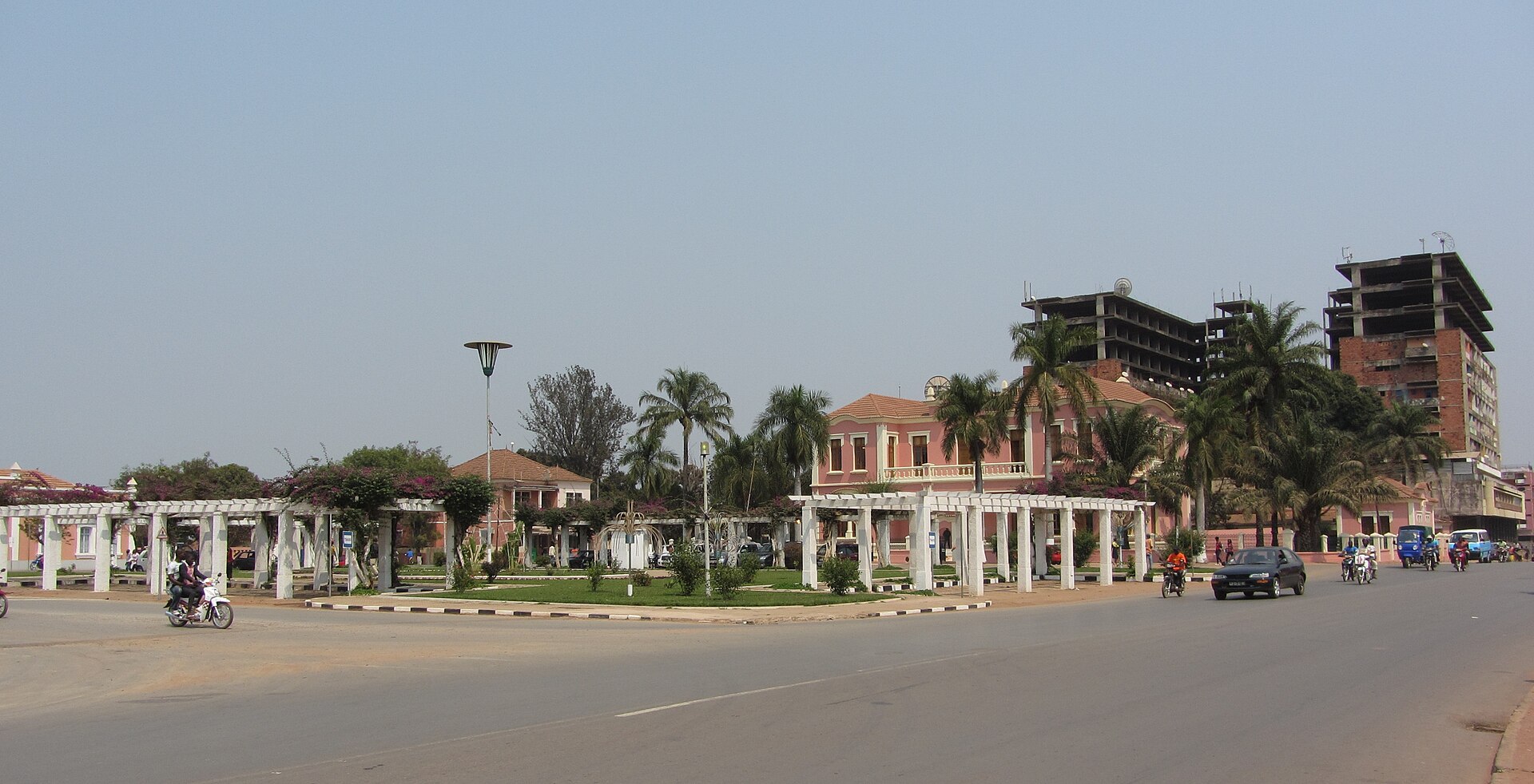
Malanje
Angola
Malanje: facts
At a glance
- Country: Angola
- Region: Malanje
- Administrative status: seat of a first-order administrative division (GeoNames code PPLA)
- Population: approximately 455,000
- Coordinates: 9.5402° S, 16.3410° E
- Time zone: Africa/Luanda (UTC+01:00)
- Currency: Kwanza (AOA)
- Distance to the capital, Luanda: 350 km (217 mi), straight line
Getting there
- Malanje Airport (MEG): 3.6 km (2.2 mi), straight line
- Negage Airport (GXG): 230 km (143 mi), straight line
Nearby
- Quessua: 9.3 km (5.8 mi)
- Lombe: 21 km (13 mi)
- Cambaxe: 22 km (14 mi)
- Cangandala: 29 km (18 mi)
- Muquixe: 34 km (21 mi)
Sources
- Malanje
Guides to Malanje
Map