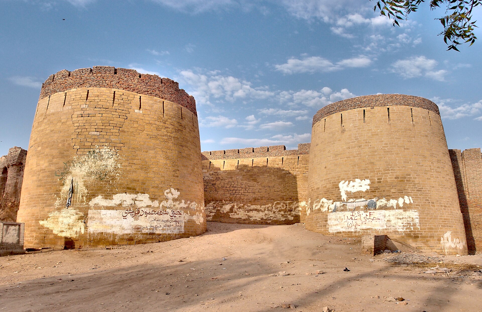
Umarkot
Pakistan
Umarkot: facts
At a glance
- Country: Pakistan
- Region: Sindh
- Administrative status: seat of a second-order administrative division (GeoNames code PPLA2)
- Population: approximately 144,558
- Coordinates: 25.3633° N, 69.7418° E
- Time zone: Asia/Karachi (UTC+05:00)
- Currency: Rupee (PKR)
- Distance to the capital, Islamabad: 983 km (611 mi), straight line
Getting there
- Hyderabad Airport (HDD): 138 km (86 mi), straight line
- Shaheed Benazirabad Airport (WNS): 165 km (103 mi), straight line
- Jaisalmer Airport (JSA, India): 203 km (126 mi), straight line
Nearby
- Chhor: 17 km (11 mi)
- Dhoro Naro: 23 km (14 mi)
- Kunri: 27 km (17 mi)
- Naukot: 66 km (41 mi)
- Digri: 67 km (42 mi)
Sources
- Umerkot
Guides to Umarkot
Map