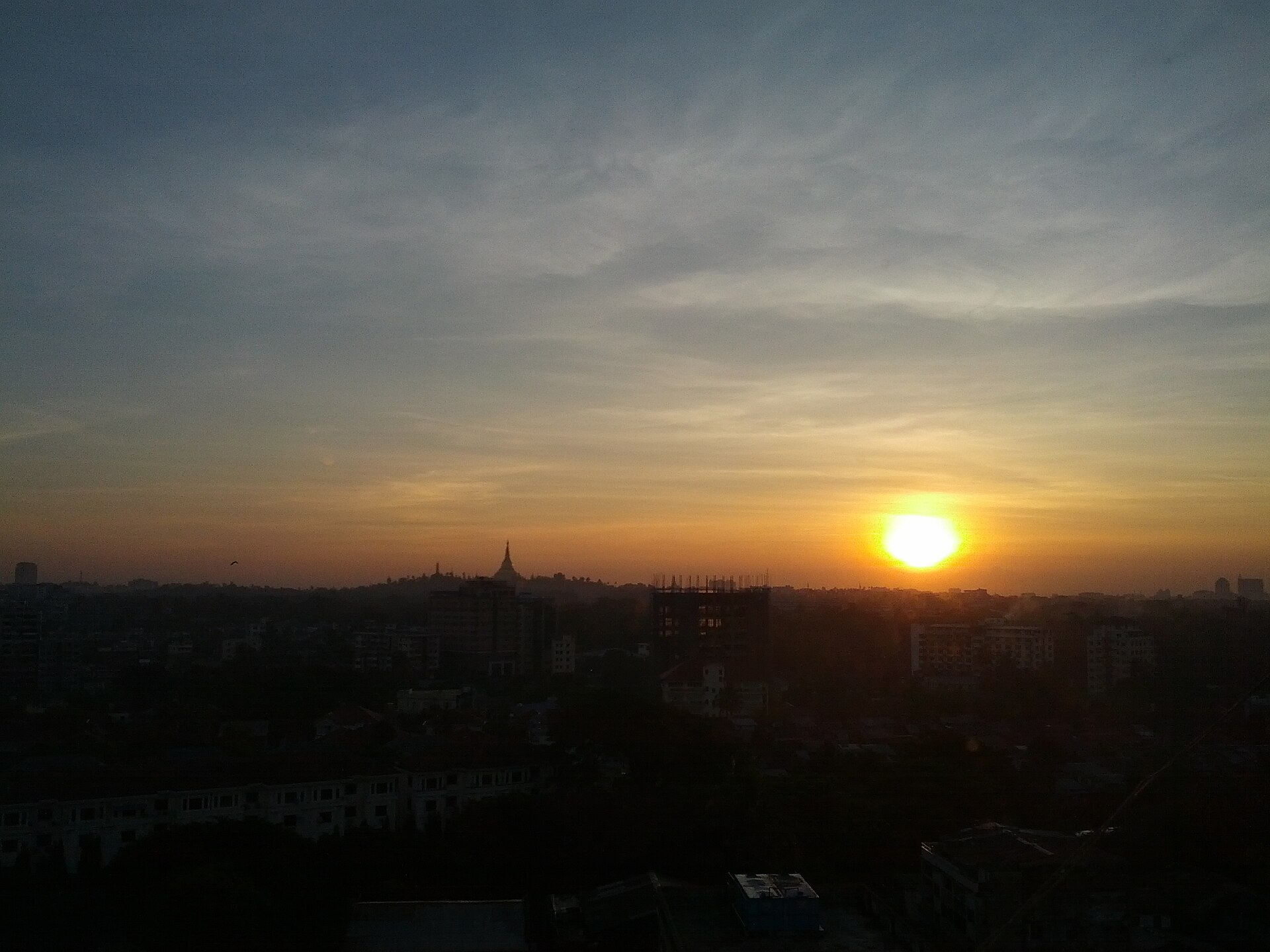
Kyimyindine
Myanmar
Kyimyindine: facts
At a glance
- Country: Myanmar
- Administrative status: section of a populated place (GeoNames code PPLX)
- Population: approximately 111,514
- Coordinates: 16.8085° N, 96.1242° E
- Time zone: Asia/Yangon (UTC+06:30)
- Currency: Kyat (MMK)
- Distance to the capital, Nay Pyi Taw: 327 km (203 mi), straight line
Getting there
- Yangon International Airport (RGN): 11 km (7 mi), straight line
- Pathein Airport (BSX): 143 km (89 mi), straight line
- Mawlamyine Airport (MNU): 169 km (105 mi), straight line
Nearby
- Sangyoung: 1.0 km (0.6 mi)
- Setsan: 1.1 km (0.7 mi)
- Myenigon: 1.2 km (0.7 mi)
- Set Ka Lay: 1.3 km (0.8 mi)
- Yangon: 3.4 km (2.1 mi)
Sources
- Kyimyindaing Township
Guides to Kyimyindine
Map