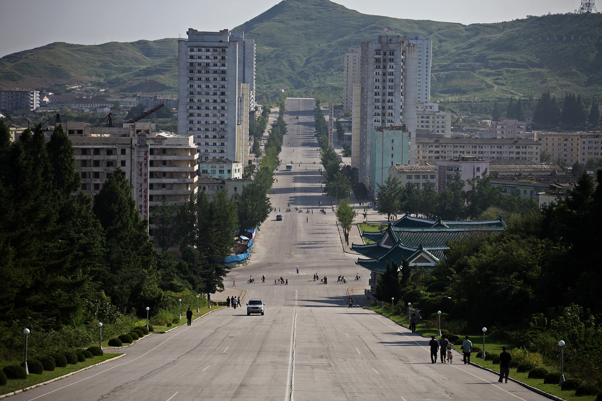
Kaesong
North Korea
Kaesong: facts
At a glance
- Country: North Korea
- Region: Kaesong
- Administrative status: seat of a first-order administrative division (GeoNames code PPLA)
- Population: approximately 338,155
- Coordinates: 37.9708° N, 126.5544° E
- Time zone: Asia/Pyongyang (UTC+09:00)
- Currency: Won (KPW)
- Distance to the capital, Pyongyang: 137 km (85 mi), straight line
Getting there
- Seoul Gimpo International Airport (GMP, South Korea): 50 km (31 mi), straight line
- Incheon International Airport (ICN, South Korea): 57 km (35 mi), straight line
- Wonju Airport / Hoengseong Air Base (K-38/K-46) (WJU, South Korea): 137 km (85 mi), straight line
Nearby
- Paech'on-up: 22 km (14 mi)
- Yangsa, South Korea: 23 km (14 mi)
- Tanhyeon, South Korea: 23 km (15 mi)
- Munsan, South Korea: 24 km (15 mi)
- Songhae, South Korea: 24 km (15 mi)
Sources
- Kaesong
Guides to Kaesong
Map