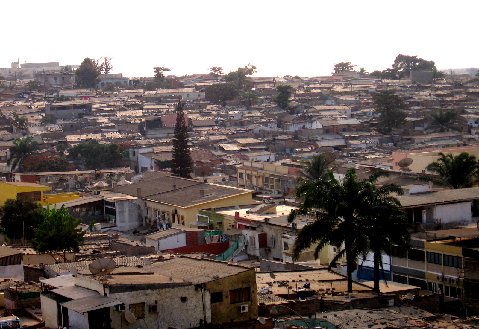
Maianga
Angola
Maianga: facts
At a glance
- Country: Angola
- Administrative status: seat of a second-order administrative division (GeoNames code PPLA2)
- Population: approximately 727,681
- Coordinates: 8.8469° S, 13.2370° E
- Time zone: Africa/Luanda (UTC+01:00)
- Currency: Kwanza (AOA)
- Distance to the capital, Luanda: 1.2 km (0.7 mi), straight line
Getting there
- Quatro de Fevereiro International Airport (LAD): 1.4 km (0.9 mi), straight line
- Dr. Antonio Agostinho Neto International Airport (NBJ): 37 km (23 mi), straight line
- Negage Airport (GXG): 256 km (159 mi), straight line
Nearby
- Luanda: 1.2 km (0.7 mi)
- Ingombota: 3.3 km (2.1 mi)
- Golfe: 3.5 km (2.2 mi)
- Rangel: 3.6 km (2.3 mi)
- Kilamba: 4.2 km (2.6 mi)
Sources
- Maianga
Guides to Maianga
Map