Getting Around Vanderbijlpark
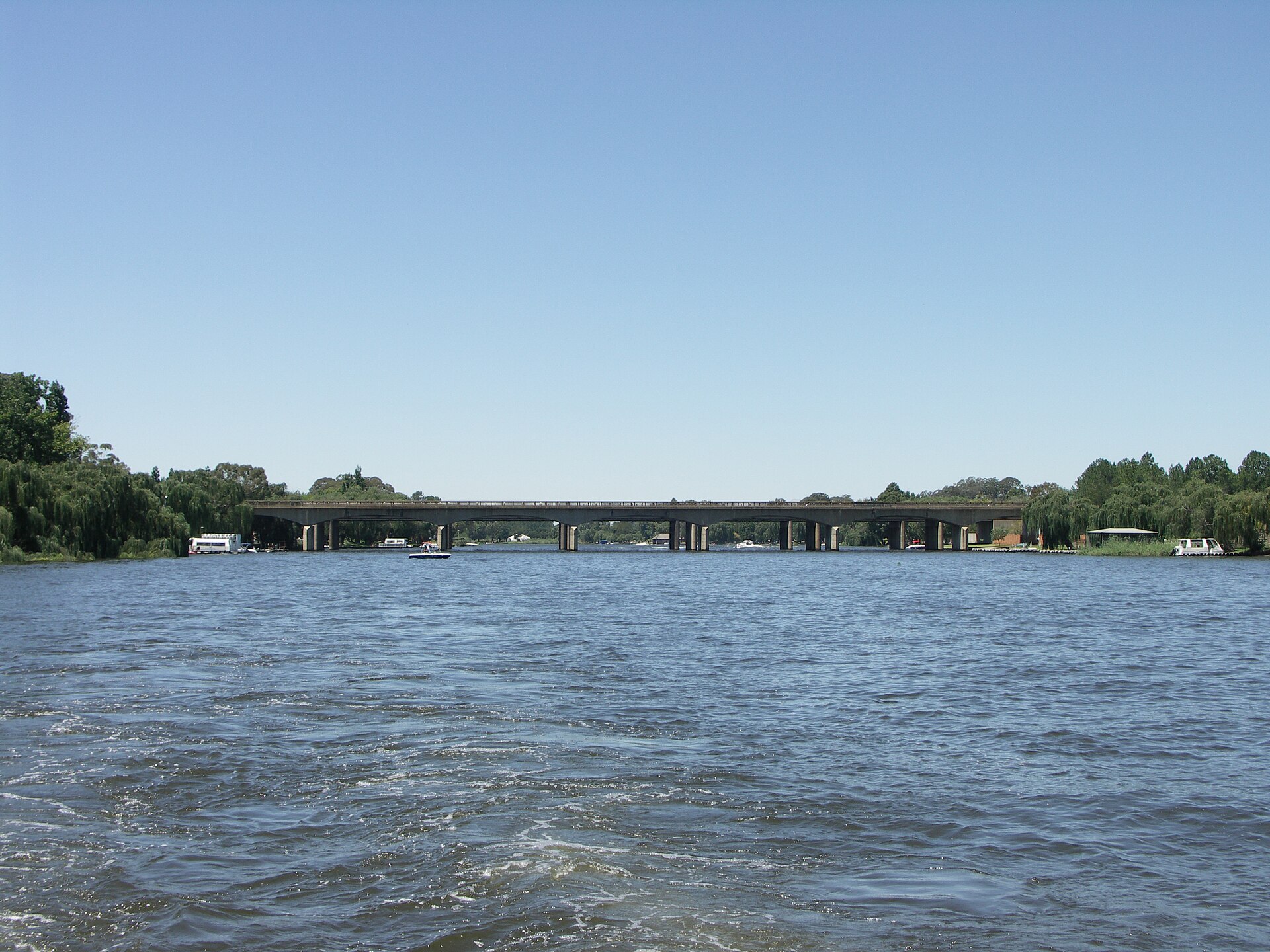
Vanderbijlpark is an industrial city on the Vaal River in southern Gauteng, part of the Vaal Triangle along with neighbouring Vereeniging and Sasolburg. It was laid out in a circular design rather than a grid, divided into four residential blocks (CE, CW, SE and SW) with numbered suburbs inside each. That layout matters for a visitor: addresses are usually given as a block-and-number combination, and having your destination pinned on a map before you set off makes life much easier.
The practical reality is that this is a car-oriented city. Public transport exists, but it is geared mainly toward commuters travelling to and from work rather than toward sightseeing, and services thin out considerably after dark. Plan your day around daylight hours and arrange your return trip in advance.
Driving
Driving yourself is the easiest and most flexible way to get around Vanderbijlpark. A car gives you the freedom to reach the riverfront attractions, the CBD, the university campuses on the banks of the Vaal, and the neighbouring towns of the Vaal Triangle on your own schedule.
- Renting a car is the most practical option if you plan to explore beyond the city centre.
- Self-drive also makes day trips to Vereeniging and Sasolburg straightforward.
- Be alert for petty theft and vehicle crime, which have been reported in parts of the area; avoid isolated spots at night, particularly around Bophelong and the industrial precincts.
Rail and Commuter Trains
Vanderbijlpark itself is not served by a major commuter rail station. The nearest significant stop for the Vaal Triangle is Vereeniging, which sits on the Metrorail commuter corridor running between Johannesburg and Vereeniging.
- Metrorail commuter trains serve the Johannesburg–Vereeniging corridor, with Vereeniging as the closest major rail stop for this area.
- Services are basic and can be slow or irregular, so they are best used during the daytime.
- From Vereeniging you still need a road connection onward into Vanderbijlpark, so the train works best as part of a combined rail-and-road journey rather than a door-to-door solution.
There is no tram or metro system in Vanderbijlpark.
Buses and Long-Distance Coaches
Scheduled intercity coach services are the main bus option for reaching the region. Operators such as Intercape and Greyhound call at Vereeniging or at stops nearby, connecting the Vaal Triangle with Johannesburg and other centres.
- Intercity coaches stop at Vereeniging or nearby rather than in Vanderbijlpark itself, so you will need a local connection for the final leg.
- Local scheduled buses and shuttles operate within the Vaal Triangle for shorter hops between the towns.
- Buying tickets is normally done directly with the coach operator, either online in advance or at the departure point; booking ahead is wise on popular routes.
Taxis and Ride-Hailing
Both metered taxis and minibus taxis operate in Vanderbijlpark. Minibus taxis are the workhorse of local commuting and also link the wider Vaal Triangle to Johannesburg.
- Minibus taxis cover the town and connect the Vaal Triangle with Johannesburg; they are cheap but run on informal routes and schedules.
- Metered taxis are available for point-to-point trips.
- Ride-hailing apps — Bolt and Uber — both operate in the city and are generally the most convenient option for visitors who do not have a car.
- Public transport of all kinds can be limited after dark, so avoid relying on it late at night.
Walking
Walking is pleasant in the right places but not a realistic way to cover the whole city. The Vaal River promenade is walkable from Lakeside through to the CBD, making it the best area for a stroll on foot. Elsewhere, the circular suburban layout and the distances between the CBD, the riverfront and the townships mean most trips are better done by vehicle. As a general rule, keep to well-lit, populated areas and avoid walking in isolated places at night.
Getting There from the Airport
The main international gateway for Vanderbijlpark is OR Tambo International Airport (JNB) in Johannesburg. The drive runs via the N12 and R59 and typically takes between an hour and an hour and a half, depending on traffic.
- Car hire: The most flexible option; rental cars are available at the airport and give you transport for the whole stay.
- Private transfers and metered taxis: A pre-booked transfer or metered taxi will take you directly to your accommodation, which is the simplest choice if you would rather not drive.
- Coach connections: Intercity coaches from Johannesburg call at Vereeniging or nearby, from where you can continue by taxi or shuttle into Vanderbijlpark.
Lanseria Airport (HLA) is also an option, but the drive is considerably longer — roughly an hour and a half to two hours. Public or direct transfer options from Lanseria are limited, so a rental car or a private transfer is the practical choice.
Practical Tips
- Arrange your transport for the evening before it gets dark; services are sparse at night.
- Keep your destination pinned on a map — the circular layout and block-numbered suburbs can confuse visitors.
- If you are relying on minibus taxis or Metrorail, treat them as daytime options and build in extra time for slow or irregular services.
- Exercise normal caution against petty theft and vehicle crime, and steer clear of isolated areas after dark, especially around Bophelong and the industrial precincts.