Getting Around Peoria: An Overview
Peoria sits on the Illinois River in Central Illinois and serves as the principal city of a wider metropolitan area spanning several surrounding counties. For a visitor, the practical reality is that this is a mid-sized Midwestern city where the private car remains the most flexible way to get around, but a public bus system, taxis and ride-hailing, and a compact, walkable downtown give you workable alternatives—especially if you plan to concentrate your time in the center and along the riverfront.
Public Buses: CityLink
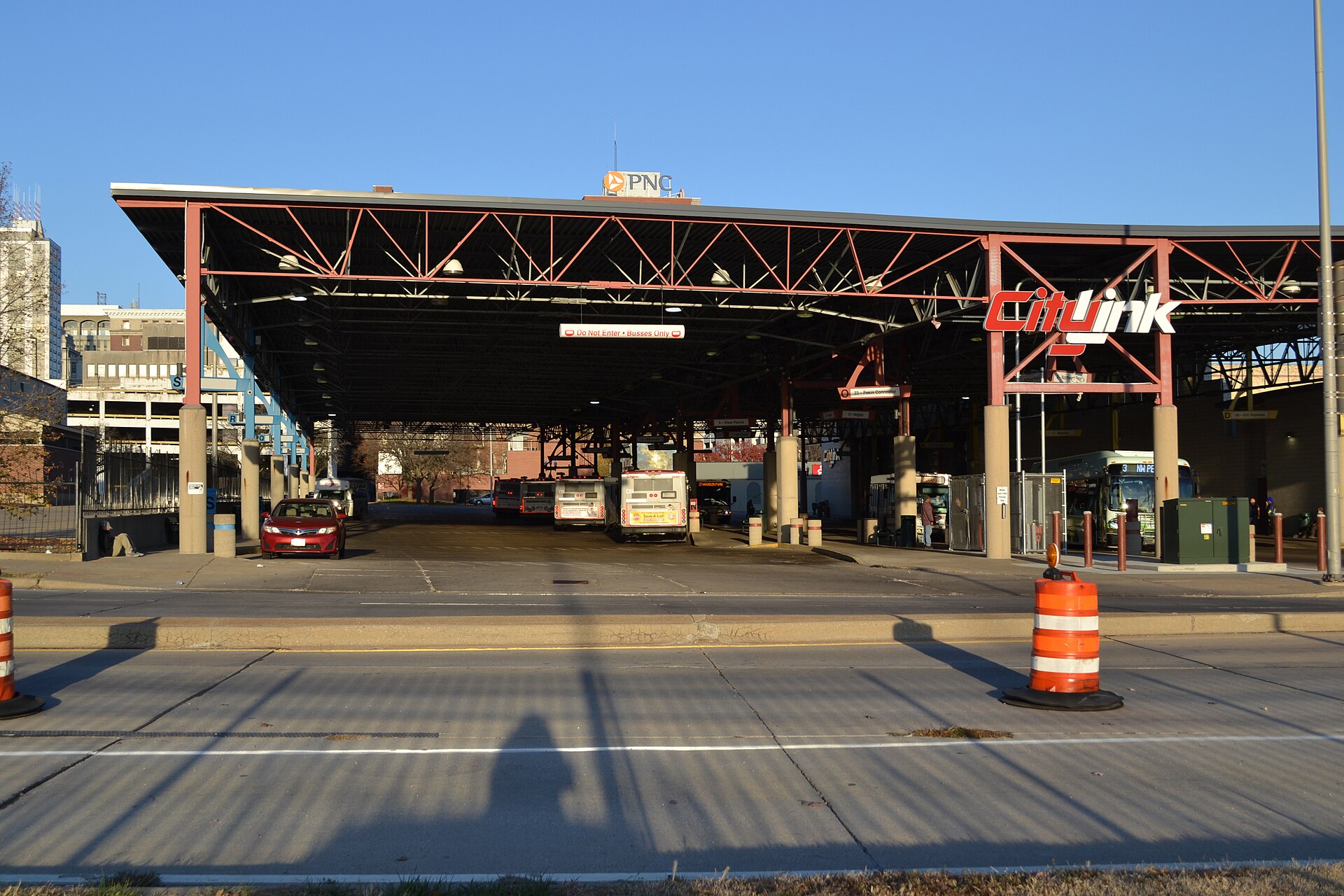
The public transit system in Peoria is operated by CityLink, the Greater Peoria mass transit provider, which runs buses across the city and into surrounding communities. For visitors, CityLink is the backbone of public transport in the area.
- Downtown hub: CityLink timetables are organized around the Transit Center downtown, with schedules presented separately by direction (for example, "From Transit Center" and "To Transit Center"). If you're staying or sightseeing near the center, this is your starting point for most trips.
- Planning your trip: All CityLink route and schedule data is available in Google Maps, which is the easiest way to plan a bus journey on the fly. The agency also publishes a downloadable Rider's Guide and route maps through a regional planning site.
- Reading the timetables: Printed timetables list only key time points; if you board at a stop in between, you should use the time of the previous listed point as your guide. Read timetables left-to-right for stops and down the columns for departure times. Schedules change periodically, and times are approximate because of traffic, weather, construction, and detours.
- Where to board: Buses only pick up and drop off passengers at signed locations, benches, and shelters—flagging a bus down along the street is no longer permitted. Stop locations can change with route adjustments and road construction, so check the sign at your stop.
- Sunday service: CityLink publishes separate Sunday service information, so weekend travel is possible, though you should confirm the specific route and times before you rely on it.
- Route changes: The network evolves—some routes have been eliminated and replaced by others—so use current maps and Google Maps rather than older printed material.
Rail, Metro and Trams
Peoria has no metro, tram, or light rail network for visitors to use, and the reference material describes no local passenger rail service within the city. Plan your movement around buses, road transport, and walking rather than expecting a rail-based transit option.
Taxis and Ride-Hailing
In practice, for a visitor the most reliable approach is to arrange rides through the major ride-hailing apps or by phone with a local taxi company, and to confirm availability in advance—particularly for early-morning airport runs or late-night returns, when supply in a city of this size can be thin.
Walking
Walking is a realistic way to cover the downtown core and riverfront, where many of the city's museums and attractions cluster—including the Peoria Riverfront Museum and the historic houses managed by the Peoria Historical Society. Beyond the center, Peoria spreads across a large area, and the city's humid continental climate brings cold, snowy winters and hot, humid summers, both of which can make long walks uncomfortable. Treat walking as a way to link nearby downtown sights rather than as a way to cross the city.
Getting In from the Airport
The reference material does not include details on Peoria's airport or the specific services connecting it to downtown. Before you travel, check with your airline or the airport's own website for the current ground-transport options, and consider pre-booking a taxi or ride-hailing pickup, or confirming whether a bus connection serves the terminal, so you aren't sorting it out on arrival.
Practical Tips
- Use Google Maps to plan CityLink journeys, since the full route and schedule data is loaded there.
- Board only at signed stops, benches, or shelters, and check for route or stop changes caused by construction.
- Allow slack in your schedule: CityLink times are approximate and affected by traffic, weather, and detours.
- Keep your sightseeing concentrated downtown and along the river where walking works well, and use buses or a car for anything farther out.
- Dress for the season—winters are cold and snowy and summers hot and humid, which affects how much you'll want to walk.