Getting Around Modesto
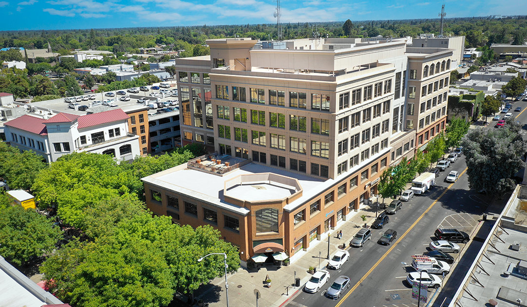
Modesto sits in California's Central Valley, surrounded by farmland and positioned along State Route 99, the main north–south artery between Sacramento and Bakersfield. For a visitor, the practical reality is that this is a car-oriented city with a compact, walkable historic downtown core. Public transport exists and is usable, but it is built around getting residents to work and appointments rather than sightseeing, so plan your days around a few key hubs rather than expecting to hop freely between far-flung corners of town.
Rail Connections
Modesto is served several times a day by Amtrak on its San Joaquins route, which runs south to Bakersfield and north to either Sacramento or Oakland. This is the most useful long-distance option for reaching the city without a car, and it links Modesto to the wider California rail network.
Note that the Modesto Amtrak station is located a few miles east of downtown, so it is not a walk-into-town arrival. Local bus service connects the station with the city center, making it possible to complete the journey by public transport if you time your arrival with a bus.
Buses and Local Public Transport
Local transit is provided by two main operators, both of which are useful for reaching downtown, the Amtrak station, and other parts of the city:
- Modesto Area Express — the city's bus system, with a downtown office on 9th Street. It runs on weekdays from early morning into the evening, with shorter hours on Saturdays and Sundays. Fares are inexpensive and paid per ride.
- Stanislaus Regional Transit — a county-level service that complements the city buses and extends coverage more widely across the region. Customer service is available by phone on weekdays and Saturdays, and fares are similarly low.
In practice, you buy your fare on board when you board, and the low flat fares make passes less of a concern than in larger cities. Because schedules thin out in the evenings and on weekends, check the day's timetable before you set out — particularly if you are relying on a bus to connect with a train.
Taxis and Ride-Hailing
Modesto does not have a prominent taxi culture, so the realistic options for door-to-door trips are conventional taxi companies and ride-hailing apps. Ride-hailing is generally the most convenient way to cover the gaps that buses leave — for example, getting from the Amtrak station to a downtown hotel, or reaching a restaurant or attraction outside the core. Because the city is spread out, expect to rely on a car or a ride for anything beyond the immediate downtown area.
Walking
Downtown Modesto is the most rewarding part of the city on foot. The historic 10th and 11th streets — the original setting of the cruising immortalized in American Graffiti — have been designated the Historic Cruise Route, and it now functions as a tourist walk with information about the city's music, car, and graffiti culture. The Walk of Fame, launched in 2014 along that route, adds markers celebrating local and classic legends, and a series of large community murals celebrating Modesto's classic graffiti heritage are also found along the Cruise Route.
Downtown also holds the Gallo Center for the Arts and the Downtown Plaza next to Modesto Centre Plaza, and a promenade is being designed to create an entertainment zone linking these anchors along 10th, 11th, and J streets. The downtown Modesto Arch, bearing the city motto, is another landmark worth seeking out on foot.
Beyond downtown, walking becomes less practical: the city is large, spread across the valley floor, and much of what surrounds it is farmland and residential sprawl. Be aware that Modesto's air quality is rated poorly, which is worth factoring in if you have breathing difficulties and plan to spend long periods outdoors.
Getting In From the Airport
Modesto City–County Airport (MOD) sits off Mitchell Road near the Yosemite intersection and is served by United Express flights from San Francisco. Because it is a small regional airport close to town, the onward trip into the city is short and straightforward by taxi or ride-hailing. If you are arriving on a connecting flight from San Francisco rather than flying directly, the alternative is to take Amtrak into Modesto and then use a local bus or a ride to reach your final destination.
Practical Tips
- Base yourself downtown if you want to walk to the Historic Cruise Route, the murals, the arch, and the arts venues.
- Use Modesto Area Express or Stanislaus Regional Transit for cheap daytime trips, but confirm schedules in advance for evenings and weekends.
- Keep a ride-hailing app handy for station transfers and cross-town trips.
- If you arrive by Amtrak, remember the station is a few miles east of downtown and plan the bus connection or a ride.
- Summers are hot and dry, so schedule walking and outdoor sightseeing for the cooler parts of the day.