Getting Around East Los Angeles
East Los Angeles is an unincorporated community in the Eastside of Los Angeles County, sitting immediately east of the Boyle Heights district of the City of Los Angeles, south of El Sereno, north of the city of Commerce, and west of Monterey Park and Montebello. Two major freeways, California State Route 60 and Interstate 710, intersect through the community. Because East L.A. is not a separate incorporated city, getting around means plugging into the wider Los Angeles County transit system — and the good news for visitors is that the area is served by its own local shuttle as well as regional bus and rail connections.
The Local Shuttle: El Sol
The most visitor-friendly option specific to East Los Angeles is the El Sol Shuttle, a public shuttle bus service covering the community and operated under Los Angeles County. It runs three separate lines, and all three meet at a timed transfer point at the East Los Angeles Civic Center, so you can switch between lines without a long wait.
- Fare: a flat 25 cents per trip — one of the cheapest rides you will find anywhere in the region.
- Free rides: seniors aged 60 and over, persons with disabilities, and children under five ride at no charge.
- Passes: Metro 30-day and EZ passes are accepted as cash fare, so if you already hold one of those, you can simply show it.
- Where it goes: the shopping areas along Cesar Chavez Avenue and Whittier Boulevard, the Commerce Shopping Center, the Roybal Comprehensive Health Center, California State University of Los Angeles (Cal State LA), and East Los Angeles Community College.
- Connections: the shuttle links up with regional bus and rail services and other transit providers, making it a useful first or last leg of a longer trip.
For questions about the service, the county lists a phone number at (626) 458-3909 and a TDD line at 711 for hearing-impaired callers.
Regional Rail, Metro and Buses
East Los Angeles itself is not served by a rail station, but the El Sol Shuttle is explicitly designed to connect riders with regional bus and rail services and other transit providers. In practice, this means you can use the shuttle to reach a connecting point and then continue on the broader Los Angeles County network — the Metro rail and bus system — to reach downtown Los Angeles and the rest of the region. Because East L.A. borders the City of Los Angeles on its north, west, and a small portion of its south, connections into the city are short and direct.
For a visitor, the practical approach is to treat the shuttle as your local circulator and the regional network as your long-distance option. Buy a Metro pass if you plan to ride frequently — the El Sol Shuttle accepts Metro 30-day and EZ passes as cash fare, so a single pass can cover both your local and regional travel.
Taxis and Ride-Hailing
What it does make clear is that the community is densely urban — every resident lives in an urban area — and that it sits at the junction of two major freeways, State Route 60 and Interstate 710. That combination means app-based ride-hailing and taxis are a realistic option for point-to-point trips, particularly for reaching destinations not directly on a shuttle line. As always, confirm your pickup location carefully, since East L.A. is an unincorporated area whose boundaries do not always match the local understanding of the neighborhood.
Walkability
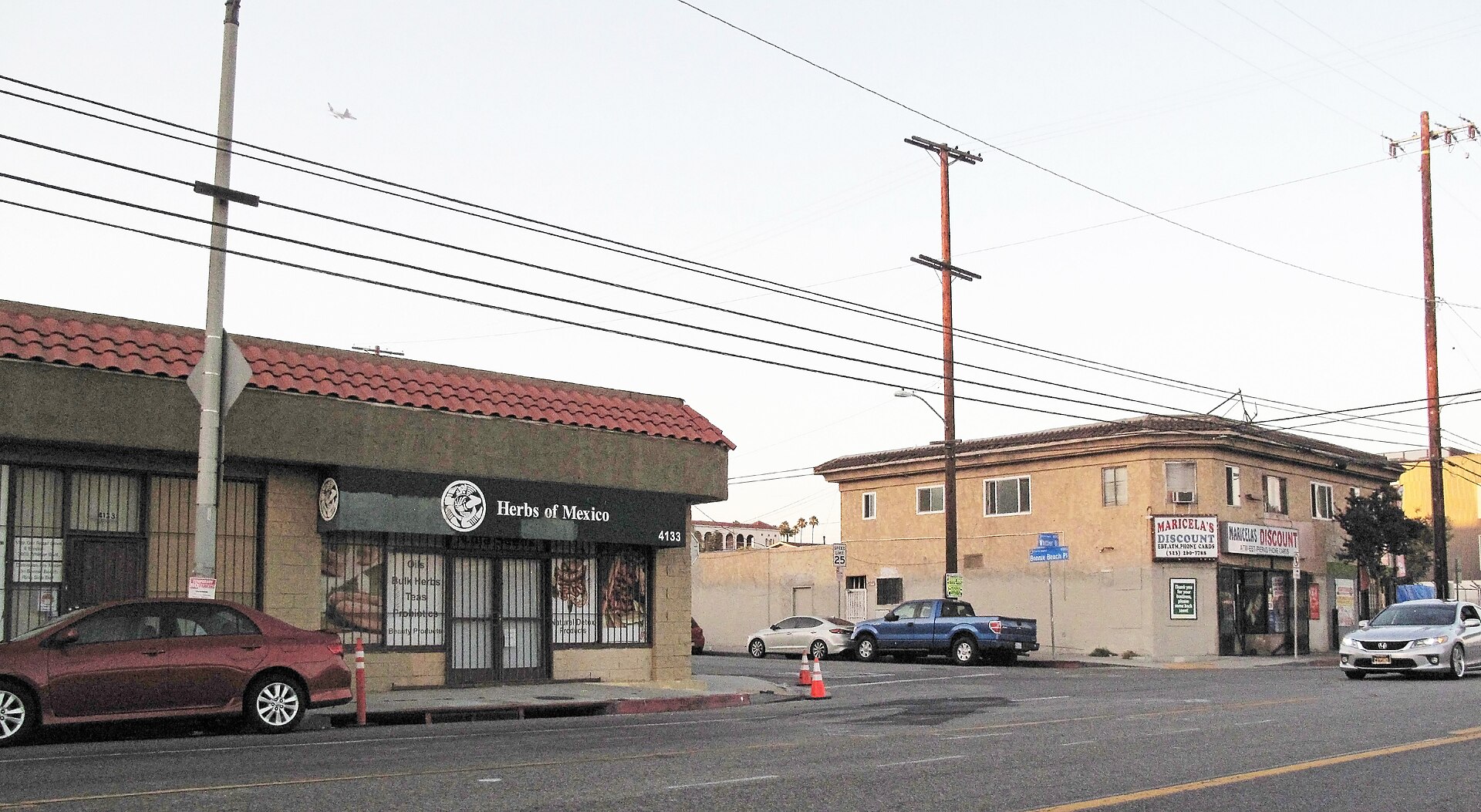
East Los Angeles is a compact, fully urban community, and its commercial life is concentrated along corridors such as Cesar Chavez Avenue and Whittier Boulevard — the same shopping areas the El Sol Shuttle serves. That makes walking a genuinely practical way to cover ground once you are on one of those main streets. The caveat is that this is a large community with a substantial population, so not every destination will be within a comfortable walk of every other; use the shuttle or a bus for the longer hops and save your walking for the commercial strips and around the Civic Center.
Getting In from the Airport
The reference material does not specify airport transfer routes for East Los Angeles, so the reliable guidance is structural rather than turn-by-turn: East L.A. is an unincorporated county community immediately east of the City of Los Angeles, with Interstate 710 and State Route 60 running through it. The region's principal airport lies to the southwest, and the standard visitor approach is to connect from the airport into the Metro regional network and then onward to East L.A., using the El Sol Shuttle for the final leg to destinations along Cesar Chavez Avenue, Whittier Boulevard, and the Civic Center. Because the shuttle accepts Metro 30-day and EZ passes as cash fare, buying a Metro pass at the airport end of your journey can cover you all the way through.
Practical Tips
- Keep a quarter handy, or better, buy a Metro 30-day or EZ pass — it doubles as fare on the El Sol Shuttle.
- Use the East Los Angeles Civic Center as your transfer hub: all three shuttle lines meet there on a timed schedule.
- Plan around the shuttle's destinations — the Cesar Chavez and Whittier Boulevard shopping areas, Commerce Shopping Center, Roybal Comprehensive Health Center, Cal State LA, and East Los Angeles Community College.
- Remember that East L.A. is unincorporated, so address and boundary conventions can be looser than in a typical city; confirm locations before you set out.
- Seniors 60+, people with disabilities, and children under five ride the shuttle free.