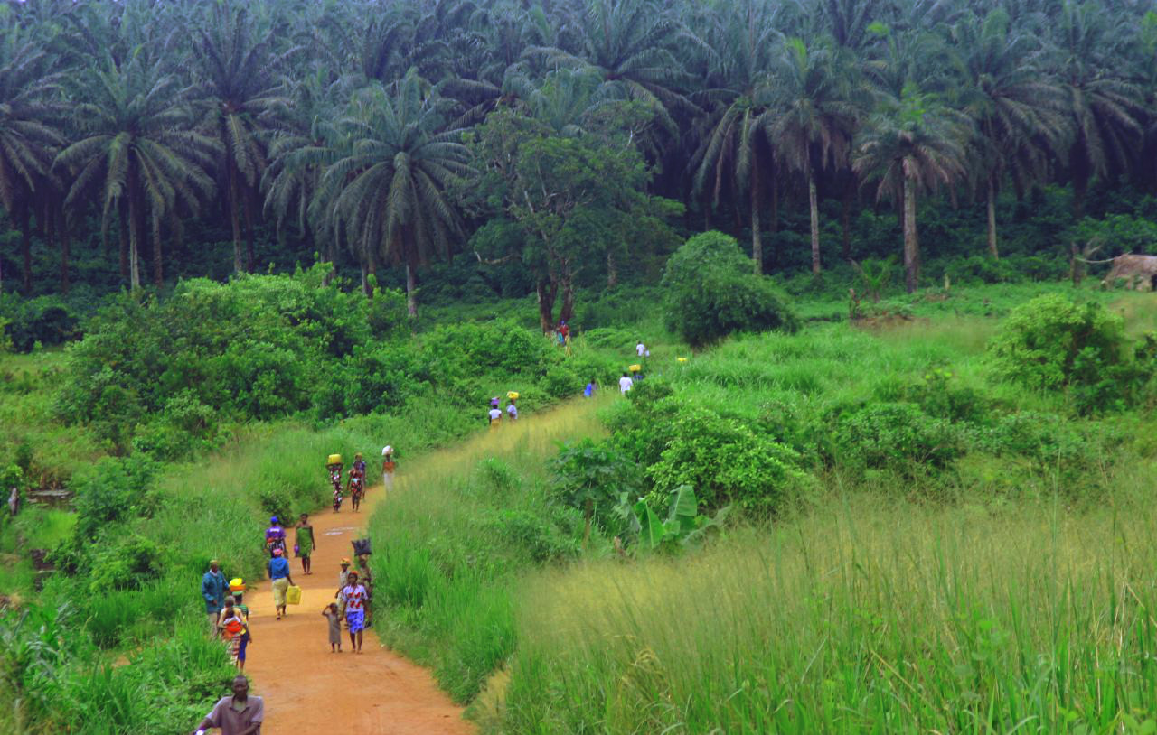
Getting Around Kenema
Kenema is the second most populous city in Sierra Leone and the principal commercial and administrative hub of the Eastern Province. It sits in a valley at a natural gap in the Kambui Hills, and its street layout still reflects its history: the course of the former Sierra Leone Government Railway, which linked the city to Freetown until its closure in 1974, continues to shape Kenema's main commercial corridor. For a visitor, that means the city's core is oriented around a single historic spine, with surrounding districts spreading out from it.
Rail, Metro and Tram
There is no rail, metro or tram network in Kenema. The Sierra Leone Government Railway, which once connected the city to Freetown and was central to its colonial-era growth as a collection point for timber, palm produce, cocoa and coffee, closed in 1974 and has not been replaced. No urban rail or tram system operates in the city. Visitors should plan on road-based transport only.
Buses and Other Public Transport
Kenema functions as a regional transport hub linking the interior of Sierra Leone to cross-border markets with Liberia, and long-distance road connections radiate from the city to Bo in the west, to Kailahun and Kono districts in the north and east, and south toward Pujehun District and the Liberian border via Zimmi. Road travel is the practical basis for both intercity and local movement.
For travel to and from Kenema, the road network is the only option:
- From Bo, the journey takes less than an hour on a very good road.
- From Freetown, the trip typically takes three to four hours, depending on traffic.
Kenema sits on one of the country's major trunk roads, so intercity vehicles pass through regularly. As a general practice in Sierra Leonean cities, shared minibuses and poda-podas (minivans) serve the busiest routes and depart when full rather than on a fixed timetable; fares are paid in cash to the conductor on board. Because the source material does not describe Kenema's specific local bus routes, stops or ticketing arrangements, visitors should confirm current services and fares locally on arrival rather than relying on published schedules.
Taxis and Ride-Hailing
The reference material does not document taxi or ride-hailing services in Kenema. No ride-hailing platform is described as operating in the city. Visitors should expect to arrange road transport locally and confirm availability, fares and payment methods directly with drivers or their accommodation, since no ticketing or app-based booking system is documented for Kenema.
Walkability
Kenema is a compact city built around a historic commercial corridor, and much of the central commercial and administrative activity is concentrated along that spine, which makes the core reasonably navigable on foot for short trips. The city lies in a valley at roughly 173 metres above sea level, with the Kambui Hills rising immediately to the west, so terrain is generally gentle within the centre.
Two practical considerations for walking:
- Kenema has a tropical monsoon climate with a pronounced wet season from May to October and a drier season from November to April. Heavy seasonal rainfall can make walking uncomfortable or difficult, so plan around the rains.
- The Harmattan wind moderates conditions briefly between December and February, though its effect in southeastern Sierra Leone is considerably milder than in the country's north.
Walking is best suited to short journeys in the central area; for longer trips across the city or to outlying districts, road transport is the practical choice.
Getting from the Airport into the City
The reference material does not identify an airport serving Kenema, nor does it describe any airport transfer, shuttle or connection between an airport and the city. Visitors should not assume a direct air link to Kenema. The documented approach to the city is by road, including from Freetown, which takes three to four hours depending on traffic, and from Bo, which takes less than an hour on a very good road. Anyone arriving by air in Sierra Leone should plan to reach Kenema overland and confirm current onward transport arrangements locally.
Practical Summary
- Kenema has no rail, metro or tram service; the old railway closed in 1974.
- Road transport is the only way to move around the city and to reach it from elsewhere.
- Kenema is a regional transport hub, with trunk roads to Bo, Kailahun, Kono, Pujehun and the Liberian border.
- Journey times by road: under an hour from Bo, three to four hours from Freetown depending on traffic.
- No taxi, ride-hailing or airport transfer services are documented in the source material; confirm locally.
- The central commercial corridor is walkable for short trips, but the wet season from May to October affects conditions.