Getting Your Bearings
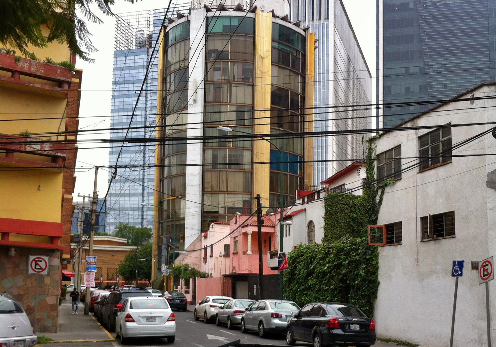
Colonia del Valle sits in the Benito Juárez borough of Mexico City, south of the historic centre and north of Coyoacán. It is a largely residential neighbourhood of tree-lined streets, parks and shopping malls, and it is well connected to the rest of the capital by public transit. Avenida Insurgentes cuts through the area, and the neighbourhood is bounded by Viaducto Miguel Alemán to the north, Cuauhtémoc and Universidad to the east, Río Mixcoac and Barranca del Muerto to the south, and Insurgentes Avenue to the west. Colonia Nápoles lies just to the west, and Narvarte to the east.
For a visitor, the practical upshot is simple: you can base yourself here and reach most of the city's main sights without a car, using the Metro, the Metrobús rapid-transit buses, trolleybuses, and taxis or ride-hailing apps.
How Tourists Move Around the City
Mexico City's transit network is extensive and inexpensive, and it is the way most visitors get around. The system combines a metro rail network, bus rapid transit (Metrobús), trolleybuses, and conventional buses, all of which connect with one another at various points. Fares are low and paid per trip, so you generally buy a ticket or load a rechargeable fare card rather than a day pass. Taxis and ride-hailing apps fill in the gaps, especially at night or when you are carrying luggage.
Because Del Valle is quiet and mostly residential but sits close to downtown and other popular areas, it works well as a base: you can walk your own street, then hop on transit for everything else.
Metro and Rail
The Metro is the backbone of the network and the easiest way to cover longer distances quickly. Del Valle is served by two lines:
- Line 3 (green) runs through the area with stations at Etiopía, Eugenia, División del Norte, Zapata and Coyoacán.
- Line 12 (gold) serves Mixcoac, Hospital 20 de Noviembre, Zapata and Parque de los Venados. Zapata is a transfer point between the two lines, which makes it a useful hub for switching routes.
Note that the Metro Museum (Museo del Metro) is at Av. Revolución 851–859 in Mixcoac, reachable via Metro Mixcoac on Lines 7 or 12. It is open Tuesday to Friday and weekend mornings, closed Mondays, and admission is free with a Metro ticket.
Beyond the Metro, the city also has a light rail and suburban rail connections, but for getting around Del Valle and the central neighbourhoods, the Metro and the buses below are what you will actually use.
Buses and Other Public Transport
The Metrobús is a bus rapid transit system that runs along major corridors, including Avenida Insurgentes, which borders Del Valle to the west. Metrobús Line 2 stops at Amores, at the corner of Xola, and the Insurgentes corridor has stops including La Piedad, Polyforum, Nápoles, Colonia Del Valle, Ciudad de los Deportes, Parque Hundido, Félix Cuevas and Río Churubusco. This makes the Metrobús a convenient alternative to the Metro for travelling up and down Insurgentes.
The trolleybus network is another option. Trolleybus Line 1 runs along Eje Lázaro Cárdenas and connects the city's two main bus stations, Autobuses del Norte and Autobuses del Sur (Taxqueña), and also serves Centro SCOP. If you are arriving or departing by long-distance bus, this line can be useful.
Conventional city buses and minibuses also crisscross the area, though routes are less obvious to newcomers. As a rule, the Metrobús and trolleybus are easier to use because stops and routes are clearly marked.
Taxis and Ride-Hailing
Taxis and ride-hailing apps such as Uber are widely available and, by the standards of many large cities, very affordable. Drivers generally arrive quickly, and the neighbourhood's central location means fares to downtown and other popular areas stay low. This is often the most practical choice late at night, when carrying shopping or luggage, or when your destination is not close to a Metro or Metrobús stop.
If you use a street taxi, agree on the fare or confirm the meter before setting off. Ride-hailing apps avoid that negotiation entirely and are a straightforward option for visitors.
Walking
Del Valle is a pleasant neighbourhood for walking. It has wide, tree-lined streets, a great number of parks, and green medians, though the Ejes viales (the wide one-way roads built across the city) cut through the area and can make some crossings feel more like crossing a freeway than a neighbourhood street. Stick to the quieter interior streets for strolling and use marked crossings on the major arteries.
Several sights are within easy walking distance of one another or of a transit stop:
- Parque Hundido, on Avenida Insurgentes Sur, is known for its reproductions of pre-Hispanic sculptures, including a large Olmec head. It is reachable via Metrobús Parque Hundido or Metro Mixcoac.
- Parque Mariscal Sucre, on Avenida División del Norte, is a historic park in a former traffic roundabout, with the French Kiosk fountain and its lion sculptures at its centre.
- Parque de los Venados (Parque Pancho Villa), on Avenida División del Norte, is a large neighbourhood park with playgrounds, walking paths, a dog area and a famous deer sculpture, served by Metro Line 12.
- Polyforum Cultural Siqueiros, at Insurgentes Sur 701 by the World Trade Center, houses the world's largest mural, La Marcha de la Humanidad by David Alfaro Siqueiros. It is open daily, with a sound and light show on weekends.
- Capilla San Lorenzo Martír, a 16th-century church of brick and volcanic stone in Parque San Lorenzo, is one block east of Avenida Insurgentes Sur.
- Parroquia del Señor del Buen Despacho, a 17th-century church rebuilt in the 1950s, sits in Parque Tlacoquemécatl.
The area also has a lively market scene: a popular Sunday tianguis, plus smaller street markets in Del Valle and Narvarte, particularly on Tuesdays and Fridays. Shopping malls such as Plaza Universidad, Plaza Parque Delta, Galerías Insurgentes, Pabellón del Valle and the World Trade Center are scattered through and around the neighbourhood, and many are close to transit stops.
Getting from the Airport into the City
Mexico City's main airport sits east of the centre, and the practical options for reaching Del Valle and the rest of the city are taxis, ride-hailing, and public transit connections into the Metro and Metrobús network.
- Authorised airport taxis are the simplest door-to-door option. Buy your ticket at an official taxi counter inside the terminal rather than accepting a ride from someone approaching you, then take the assigned car. This is the most straightforward choice if you have luggage.
- Ride-hailing apps work at the airport, though pickup points are designated and may be a short walk from the arrivals hall. Fares are typically affordable, and this can be cheaper than an airport taxi.
- Public transit is the cheapest option. From the airport you can connect to the Metro network and ride to stations serving Del Valle, such as those on Line 3 or Line 12, or to the Metrobús along Insurgentes. This involves a transfer with your bags, so it suits light travellers more than those with heavy luggage.
Once you are in the city, the same network described above — Metro, Metrobús, trolleybus, taxis and ride-hailing — will get you around Del Valle and onward to the rest of Mexico City.