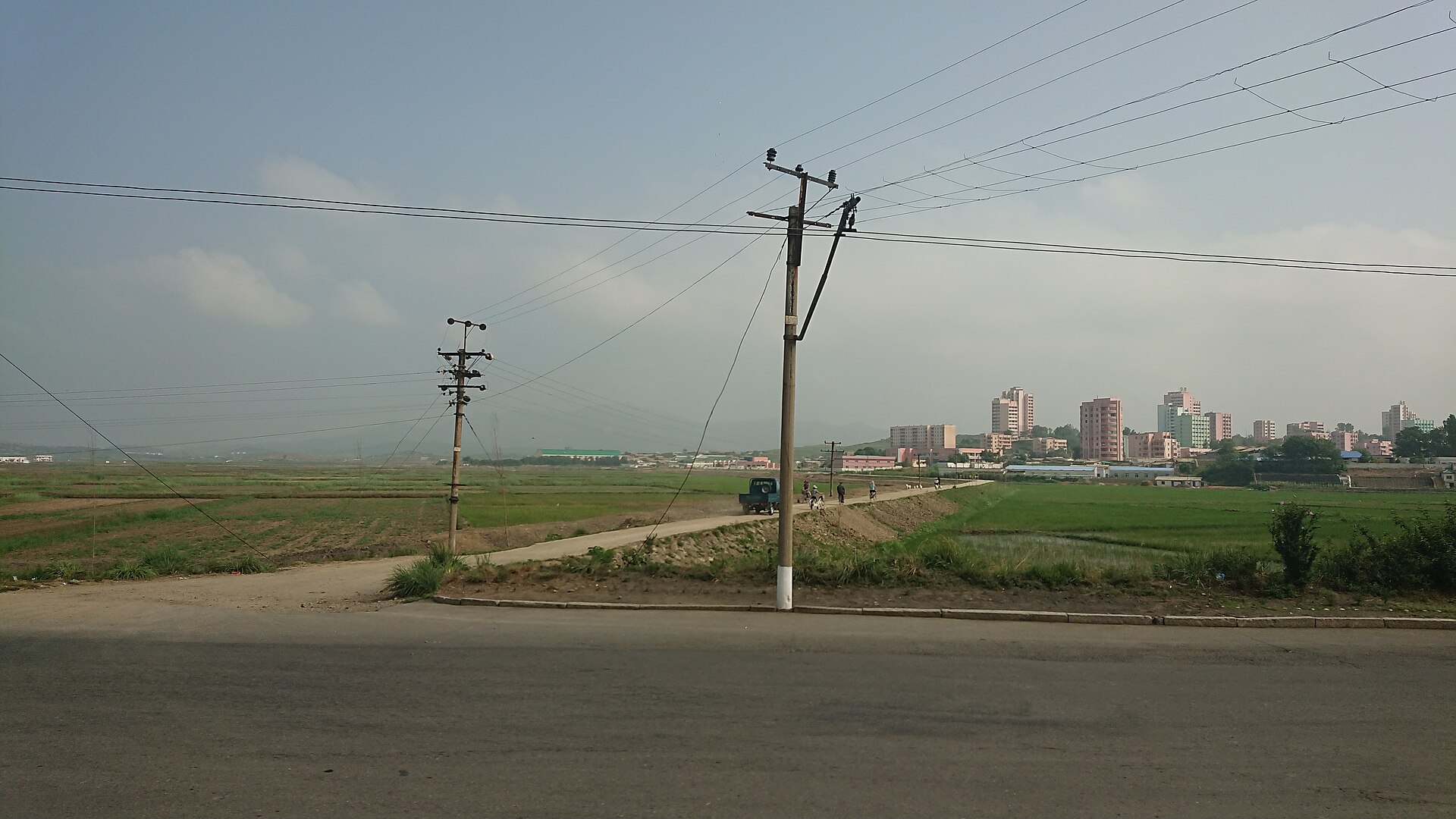
Orientation: a port city tied to Pyongyang
Namp'o (also spelled Nampho) sits on the northern shore of the Taedong River estuary, roughly 50 km southwest of Pyongyang. It is North Korea's principal west-coast seaport and the country's fourth-largest city. For a visitor, the most important thing to understand is that Namp'o is closely bound to the capital: a major multilane expressway links the two cities, and the corridor between them is where much of the city's recent industrial development has been concentrated. That connection shapes almost every practical decision about getting around.
How tourists actually move around
Independent travel in North Korea is not the norm, and Namp'o is no exception. Visitors typically move around as part of an organised itinerary, with transport arranged in advance rather than hailed on the street. The practical consequence is that you should treat your guide or tour organiser as the primary source for how you will get from place to place, and expect movement between sites to be by arranged vehicle rather than by figuring out local routes yourself.
That said, it helps to know what the city's transport landscape looks like, so you can ask sensible questions and understand what you are seeing.
Rail, metro and trams
Namp'o does not have a metro system. North Korean cities generally are served by bus and tram services, and urban centres use a mix of domestically built and imported trolleybuses and trams; earlier fleets came from Europe and China, but trade embargoes pushed the country toward domestic vehicle production.
For rail, the key point is that Namp'o is a port city connected to the national network rather than a destination with an extensive local rail system of its own. The city's transport identity is maritime and road-based, tied to Pyongyang, rather than metro-oriented.
Buses and other public transport
Cities in North Korea have bus and tram services, and rural bus service connects villages across the country. In Namp'o you should expect a working public bus network serving the city and its districts, alongside the trolleybus and tram services mentioned above. The 2020 redevelopment of the city explicitly included improvements to public transport supply, so the network has been the subject of recent investment.
What the sources do not provide is any visitor-facing detail: no route maps, no fare information, no ticket or pass system, and no schedules. Practically, this means you should not assume you can buy a day pass or navigate the bus network on your own. If using public transport matters to you, raise it with your guide in advance.
Taxis and ride-hailing
The reference material contains no information on taxis or ride-hailing apps in Namp'o, and there is no basis for describing either as available to visitors. Private car ownership is near-absent nationally, and fuel shortages make road transport secondary to other modes. Treat arranged transport through your tour as the realistic option, and do not count on flagging down a taxi or booking a ride through an app.
Walkability
Namp'o has been substantially remodelled, most notably in a major citywide uplift completed in 2020 under the state policy of building local cities into distinctive towns. The result is a seaside theme, with buildings mainly remodelled in blue, along with orange and browns, and windows glazed by the local glass industry. Central areas rebuilt in this way are generally the most pleasant for walking, and strolling gives you a good sense of the city's character.
Beyond the centre, walking is less practical: the city is spread across a large area including several districts and outlying counties, and the surrounding landscape is agricultural and industrial. Plan walks around specific areas rather than trying to cover the city on foot.
Getting in from the airport
Namp'o has no major international airport of its own. Air access to North Korea is limited and runs through Sunan International Airport, about 24 km north of Pyongyang; domestic flights connect Pyongyang with Hamhung, Wonsan and Chongjin. For a visitor heading to Namp'o, the realistic arrival sequence is therefore: fly into Sunan, transfer into Pyongyang, then continue southwest to Namp'o.
The onward leg is best made by road. Namp'o is linked to Pyongyang by a 43-km expressway, one of the country's three major multilane highways. This is the natural route for a transfer, and it is the corridor along which much of the city's industry has been rebuilt. Arrangements for the airport pickup and the drive to Namp'o should be made in advance through your tour operator; do not expect to arrange them on arrival.
Practical summary
- Arrange all transport through your tour organiser; independent movement is not the norm.
- Expect buses, trolleybuses and trams to exist, but do not rely on published routes, fares or passes — none are documented for visitors.
- There is no metro in Namp'o, and no documented taxi or ride-hailing option.
- Walk the remodelled central districts; use vehicles for everything else.
- Fly into Sunan International Airport near Pyongyang, then transfer by the Pyongyang–Namp'o expressway.