Getting Around Urasoe
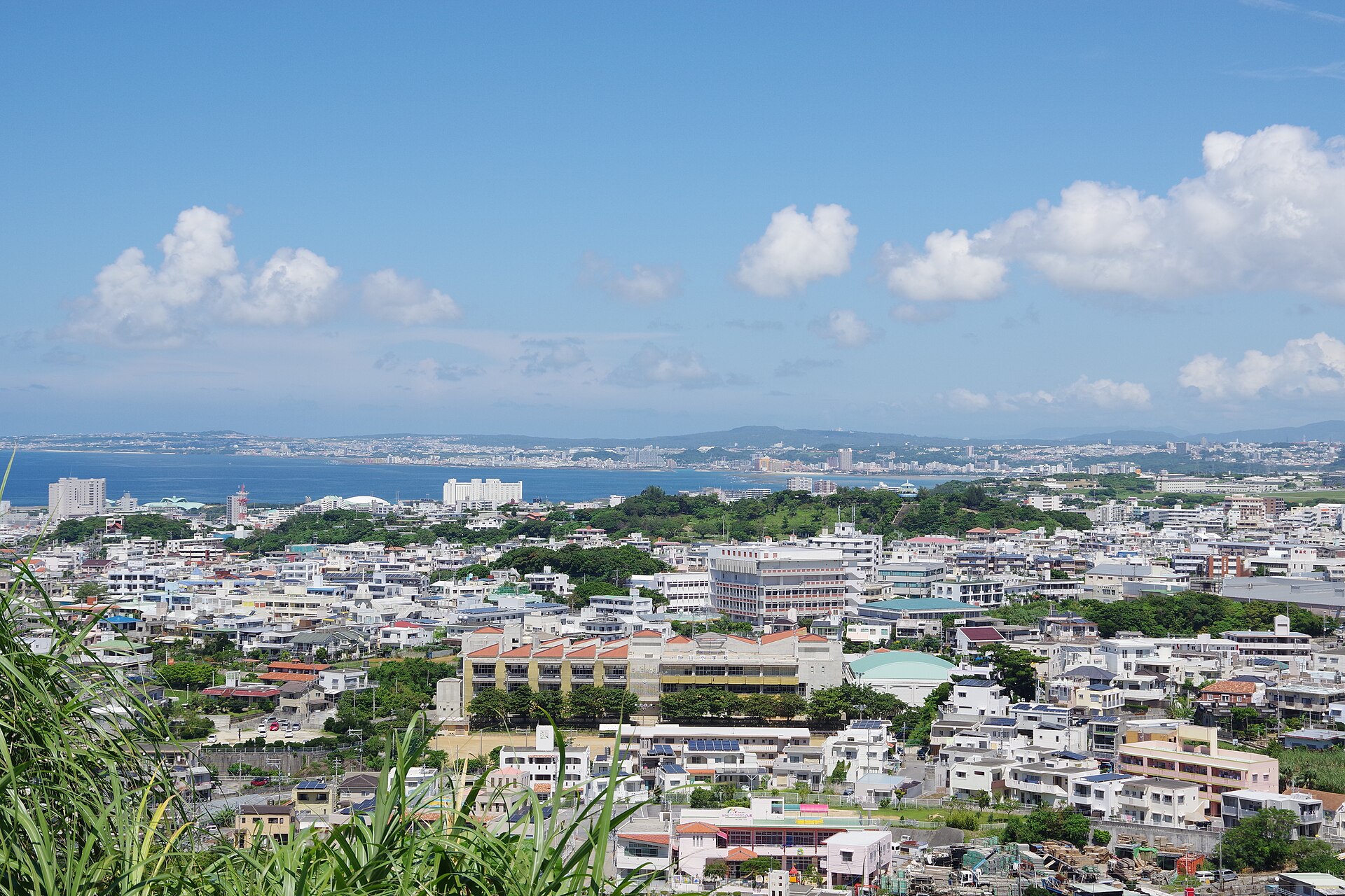
Urasoe sits just north of Naha, the prefectural capital, and has grown into a heavily urbanized bedroom community for it. For a visitor, that geography shapes everything about transport: the city is compact and hilly to the east, sloping down to the East China Sea on the west, and the practical question is usually how to link Urasoe with Naha and the rest of central Okinawa.
Rail: The Okinawa Urban Monorail (Yui Rail)
The one rail-style service in Urasoe is the Okinawa Urban Monorail, known as Yui Rail. It is the backbone of car-free travel in the area and the easiest way to move between Urasoe and Naha.
- Yui Rail serves Urasoe at three stations: Kyozuka, Urasoe-Maeda and Tedako-Uranishi.
- The line connects Urasoe with Naha, so you can base yourself in the city and still reach the capital's sights, shops and bus terminals by monorail.
- The monorail covers the western, more developed side of Urasoe. If your destination is in the eastern hills, expect to combine the monorail with a bus, taxi or car.
There is no conventional heavy-rail or tram network in Urasoe. Yui Rail is the rail option, and it is best thought of as a fast, reliable link along the coastal corridor rather than a way to reach every corner of the city.
Buses and Other Public Transport
Away from the monorail corridor, public transport in Urasoe means buses.
- Local buses are the main way to reach parts of Urasoe that the monorail does not serve.
- Naha Bus Terminal is the hub for longer-distance and regional services. Highway buses run from there toward destinations such as Motobu and Nago via Okinawa City, and local services run from Naha Bus Terminal toward Koza via Routes 329 and 330.
- Because Urasoe is a bedroom community of Naha, bus routes are oriented around commuting into and out of the capital, which is useful if your plans follow the same pattern.
For a visitor, the practical approach is to treat the monorail as your primary north–south link and buses as the way to fill in the gaps. Plan bus trips around the Naha-oriented network rather than expecting a dense grid of cross-city routes within Urasoe itself.
Taxis and Ride-Hailing
The reference material does not describe taxi or ride-hailing services in Urasoe, so no specific guidance on operators, apps or fares can be given here. What can be said is that the city is urbanized and close to Naha, and taxis are a normal part of the transport mix in Okinawa's built-up areas. If you need to reach a specific address in the eastern hills, a taxi is a sensible fallback when buses do not line up with your plans.
Walkability
Urasoe's terrain matters for anyone on foot. The city is rugged and hilly to the east and slopes gently toward the East China Sea in the west, so walking is easier in the lower western areas and more strenuous as you move inland and uphill.
- Expect walking to work best for short trips around the monorail stations and the flatter coastal side of the city.
- For longer or hillier journeys, combine walking with the monorail, a bus or a car.
- If you are interested in walking trails, note that the restored section of the Hanta Road — once Okinawa's Tokaido, linking the castles of Shuri, Nakagusuku and Katsuren — begins from Nakagusuku Castle rather than in Urasoe itself, so it is a day-trip option rather than a local stroll.
Getting In from the Airport
Urasoe is served by Naha Airport, which is the main gateway for the city and for Okinawa Prefecture generally.
- Naha Airport is the arrival point for visitors heading to Urasoe.
- From the airport, the natural car-free option is Yui Rail, which links Naha with Urasoe's three stations: Kyozuka, Urasoe-Maeda and Tedako-Uranishi.
- If you are driving, the Okinawa Expressway serves the city, and Highway 58 runs up the western coast from Naha through Ginowan and beyond — though rush-hour congestion on that coastal route can be quite bad.
In short: fly into Naha Airport, take the monorail if your destination is near one of Urasoe's three stations, and otherwise plan on a bus, taxi or rental car to cover the last stretch.
Practical Summary
- Best car-free base: somewhere near Kyozuka, Urasoe-Maeda or Tedako-Uranishi stations on Yui Rail.
- Primary mode: the Okinawa Urban Monorail for Naha–Urasoe trips.
- For everywhere else: local buses, or your own car.
- Walking: pleasant in the flatter western areas, harder in the eastern hills.
- From the airport: Naha Airport, then Yui Rail or road via the Okinawa Expressway or Highway 58.