Getting your bearings
Kashiwara sits on the Yamato River in Osaka Prefecture, with the river separating it from neighbouring Fujiidera. The northwestern part of the city is relatively flat, while the terrain rises to the east where the Ikoma Mountains and Mount Kongō form the border with Nara Prefecture. For a visitor this matters practically: the rail stations and the main built-up areas are on the flatter western side, while some attractions sit up in the hills and are harder to reach without a car.
The city is also a commuter town for the Osaka metropolis, so the transport network is built mainly around getting people in and out of Osaka rather than around sightseeing within Kashiwara. Plan your movements with that in mind.
Rail: the backbone of local travel
Two private rail operators serve Kashiwara, and trains are the most straightforward way to move between the city's main nodes and to connect with Osaka and Nara.
- JR West (Yamatoji Line / Kansai Main Line) serves Kashiwara, Takaida and Kawachi-Katakami stations.
- Kintetsu Osaka Line serves Hozenji, Katashimo, Ando and Kawachi-Kokubu stations.
- Kintetsu Domyoji Line serves Kashiwara and Kashiwara-minamiguchi stations.
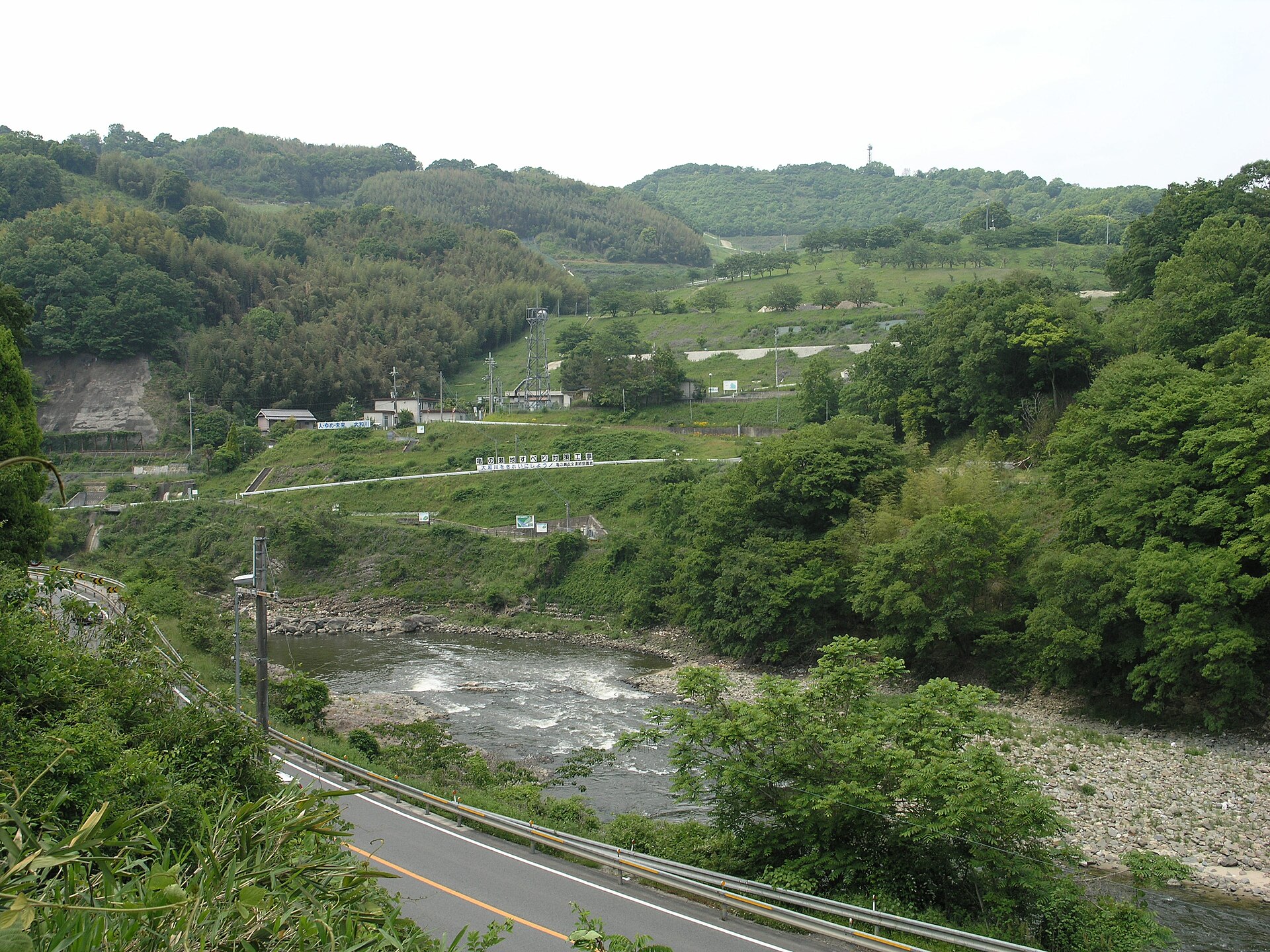
In practice, JR Takaida Station and Kintetsu Ando Station are the two stations most useful for reaching the city's sights and facilities. JR Kawachi-Katakami Station is roughly a twenty-minute walk from the Kamenose tunnel and archive site. The JR Yamatoji Line also runs along the riverbed near the Kamenose archives, which is a handy landmark when orienting yourself.
From Namba in central Osaka, trains reach the Kashiwara area in about half an hour, making the city an easy day trip. For tickets, use the standard IC cards accepted on JR and Kintetsu services, or buy paper tickets at the station machines; the two operators are separate companies, so a journey that switches between them means paying each operator's fare.
Buses and other public transport
Local bus coverage is thin and geared to specific needs rather than general sightseeing. The city runs a loop bus called the Kirameki-go, which operates on weekdays and links JR Takaida Station with the Grapico play facility on the hill. Outside those weekday loop-bus hours, that hilltop facility is difficult to reach on foot, and visitors are advised to come by private or rental car instead.
There is no metro or tram network in Kashiwara; the rail lines above are the only train service, and buses fill in the gaps. If your plans depend on a bus connection, check the day of the week carefully before setting out.
Taxis and ride-hailing
Given the semi-rural character of parts of the city and the hilltop locations of some facilities, a taxi is a sensible fallback when buses are not running, but arrange one from a station or by phone rather than assuming an app will have coverage.
Walking and driving
Walkability varies a lot by destination. Stations and riverside spots are walkable: the riverside green park near Kashiwara City Hall is a short walk from Kintetsu Ando Station, and the Kamenose tunnel and archive site are about twenty minutes on foot from JR Kawachi-Katakami Station. Other places are not: the hilltop Grapico facility is described as difficult to reach on foot outside weekday bus hours.
Having a car opens up the city considerably. Free or ample parking is noted at several sites, including the Grapico facility, the Kamenose tunnel, the Kamenose Landslide Historical Archives, and the Yamatogawa Waterfront Park. The city is also connected by the Nishi-Meihan Expressway and National Routes 25, 165 and 170, so a rental car is a practical option if you want to combine several outlying sights in one day.
Reaching Kashiwara from the airport
The practical approach is to take the train into central Osaka first — the city is about half an hour from Namba — and then continue on the JR Yamatoji Line or the Kintetsu lines to Kashiwara's stations. Confirm current connections and fares at the airport railway counter when you arrive.
Practical tips for visitors
- Base yourself near JR Takaida or Kintetsu Ando if you want the easiest access to local facilities and onward trains.
- Some attractions need booking ahead: the Kamenose tunnel guided tours with projection mapping run on Saturdays, Sundays and holidays only, with reservation required and short sessions through the day; weekday reservations are described as relatively easy to obtain.
- The Kamenose Landslide Historical Archives offers free exhibits, with drainage and abandoned railway tunnel tours by reservation.
- The Grapico play area at WAKKA requires reservations (online booking), and admission to WAKKA itself is free.
- If a hilltop or riverside destination is your priority, check bus days and consider a car or taxi rather than relying on walking.