Getting Your Bearings
Isehara sits in the hilly centre of Kanagawa Prefecture, with a large part of the city lying inside the Tanzawa-Ōyama Quasi-National Park. For most visitors the city is a gateway to Mount Ōyama, and the practical geography is simple: almost every journey begins or ends at Isehara Station, the city's rail hub, from which buses run to the mountain and the surrounding countryside. Isehara is primarily a bedroom community for Yokohama and the greater Tokyo area, so the transport network is built around commuting into the metropolis rather than moving around within the city itself.
Rail: The Odakyū Odawara Line
Isehara Station is served by the Odakyū Electric Railway on the Odakyū Odawara Line. This is the backbone of access to the city and the line most visitors will use. The station opened in 1929 and the town grew rapidly around it, which tells you how central it remains to daily life here.
The line runs from Shinjuku in central Tokyo out through Kanagawa, and Isehara is a straightforward ride from the capital — roughly seventy minutes from Shinjuku, with a fare of about ¥1,210. Because the Odakyū network also reaches Hakone and Enoshima, it doubles as the link to several other popular destinations in the region.
- Tickets: Buy a single ticket from the machines at any Odakyū station, or use an IC card (see below) for tap-in, tap-out travel.
- IC cards: Rechargeable IC cards are accepted on the railway and, usefully, on the Ōyama Cable Car as well.
- Practical tip: If you are heading for Mount Ōyama, stay on the train until Isehara rather than getting off earlier — the connecting bus leaves from the station's North Exit.
There is no metro or tram network in Isehara itself. The city's public transport is the Odakyū line plus buses; everything else is on foot, by taxi, or by car.
Buses: The Link to Mount Ōyama
Buses are the workhorse for reaching the city's main attraction. From Isehara Station North Exit, go to Bus Stop #4 and take the bus bound for "Oyama Cable." The ride takes about thirty minutes and terminates at the stop called "Oyama Cable."
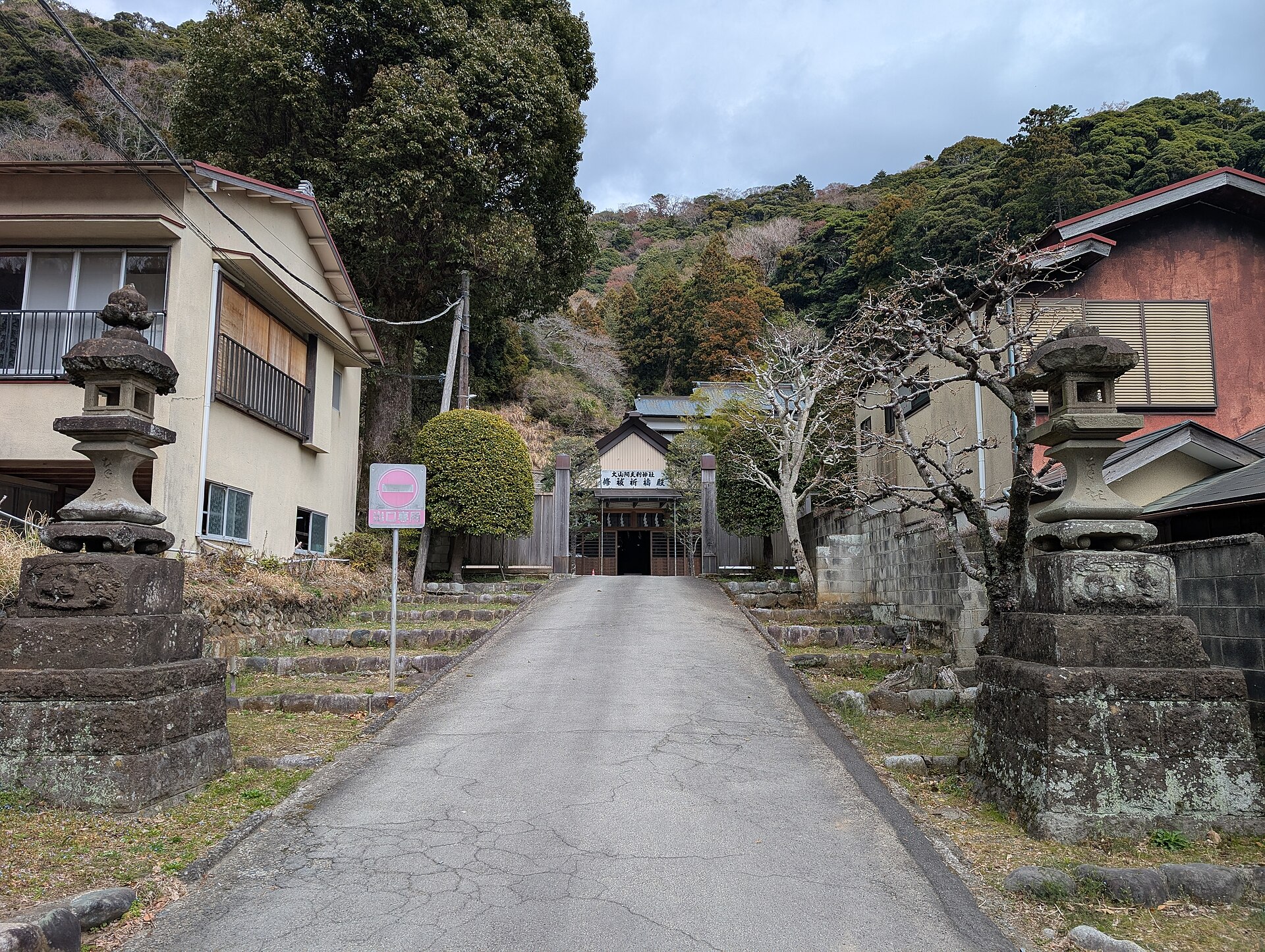
From that final stop, it is roughly a fifteen-minute walk along Koma Sando, the old approach road lined with shops and tea houses, to the Oyama Cable Station. Allow time for the walk — it is part of the experience rather than a chore, and the approach road is where you will find the area's tofu restaurants and traditional storefronts.
- Where to catch it: Isehara Station North Exit, Bus Stop #4.
- Destination: the "Oyama Cable" stop, the end of the line.
- Onward: walk about fifteen minutes up Koma Sando to the cable car.
The Ōyama Cable Car
The cable car is a short but memorable leg of the journey, climbing through forest in about six minutes. The first stop is Oyama-dera Station, only a couple of minutes up the line, and Oyama-dera Temple is about a two-hundred-metre walk from there. Fares are ¥1,000 round trip, and IC cards are accepted — so if you already have a card for the trains and buses, you can use the same one here.
Beyond the cable car, reaching the summit of Mount Ōyama involves a hike of roughly sixty to ninety minutes from the shrine. This is a proper mountain trail rather than a stroll, so come prepared with water and suitable footwear.
Taxis and Ride-Hailing
Practically speaking, taxis are the fallback for short local trips — for example, between the station and an accommodation — but the city's visitor traffic is oriented around the train-and-bus combination to Ōyama. Do not count on ride-hailing apps as a primary way to get around; plan your day around rail and bus timings instead.
Walkability
Isehara rewards walking in specific places rather than as a general way to cross the city. The area around Isehara Station is walkable: the Isehara shopping street is just a few minutes on foot from the station and retains a Shōwa-era retro atmosphere, with old signboard buildings and privately owned shops. It is best photographed from morning through the afternoon.
On the mountain side, walking is essential. The Koma Sando approach road is covered on foot between the bus stop and the cable car, and the trails above the shrine are hiking routes. Note that the old cedar trail descending toward Miyagase is free to walk with no permit required, but it is a genuine mountain path — carry about a litre of water, as there are no reliable springs, and be cautious in winter, when ice under the moss makes the going hazardous.
Getting There from the Airport
Isehara has no airport of its own; visitors arrive via Tokyo's two airports and connect by train.
- From Haneda Airport: allow roughly two hours. The route is a train into central Tokyo, a transfer to the Odakyū Line, and then the bus from Isehara Station if you are continuing to Ōyama.
- From Narita Airport: allow roughly two and a half to three hours by the same pattern — train to central Tokyo, transfer to the Odakyū Line, then the bus onward.
If you are coming from central Tokyo rather than an airport, the direct Odakyū Line service from Shinjuku to Isehara Station takes about seventy minutes. Counting the bus up to the cable car, a door-to-mountain journey from Tokyo runs about eighty to ninety minutes in total.
By Car
Driving is an option, particularly if you are combining Isehara with other stops in the region. National Route 246 passes through the city and connects toward central Tokyo and Numazu. Approximate driving times are about an hour from Yokohama, an hour and a half from Tokyo, and an hour from Kamakura. Parking is available near the mountain entrance, which makes a car practical for an Ōyama visit if you prefer not to depend on bus times.
Using Isehara as a Base
Because the Odakyū Line and the regional road network both pass through, Isehara works well as a base for exploring western Kanagawa. Nearby destinations include Enoshima at roughly forty-five minutes, Kamakura and Yokohama at about an hour each, and Hakone at around an hour and a half. The seasons shape when to go: cherry blossoms in spring, cooler air and hydrangeas in summer, the most popular maple foliage and festivals in autumn, and clear views with occasional snow in winter.
Quick Practical Summary
- Arrive by: Odakyū Odawara Line to Isehara Station.
- Pay with: single tickets or a rechargeable IC card — the card also works on the Ōyama Cable Car.
- To Mount Ōyama: Bus Stop #4 at the North Exit, bus to "Oyama Cable," then a fifteen-minute walk up Koma Sando to the cable car.
- Cable car: about six minutes; ¥1,000 round trip; IC cards accepted.
- On foot: the station shopping street and the Koma Sando approach are the walkable highlights; the summit trail is a real hike.
- From the airport: train into central Tokyo, transfer to the Odakyū Line — about two hours from Haneda, two and a half to three from Narita.