Getting Around Higashihiroshima
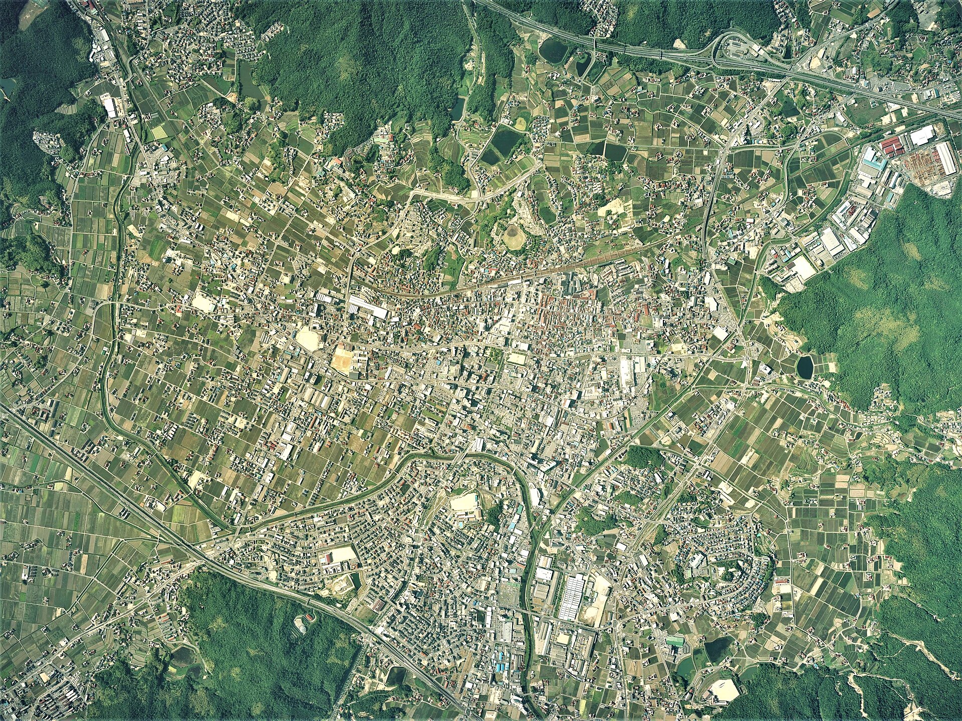
Higashihiroshima stretches from the Seto Inland Sea coast up into the hills at the edge of the Chugoku Mountains, and its main urban center sits in the Saijō Basin. That geography matters for a visitor: the city is spread out, but the core around Saijō is compact and easy to handle on foot, with rail and road links tying the pieces together.
Rail
Trains are the backbone of travel in and around Higashihiroshima, operated by JR West. Three lines serve the city:
- San'yō Shinkansen — the high-speed line stops at Higashi-Hiroshima Station, giving the city a direct bullet-train connection to the wider region.
- San'yō Main Line — the conventional line runs through the city with stations including Hongō, Kōchi, Nyūno, Shiraichi, Nishitakaya, Saijō, Jike, and Hachihonmatsu. Saijō is the key station for the central sights.
- Kure Line — serves the coastal side of the city, with stations at Akitsu and Kazahaya.
For practical purposes, most visitors will use the San'yō Main Line to reach Saijō. From Hiroshima, Saijō Station is about a 35-minute ride, which makes the city a very manageable day trip from the prefectural capital. If you are coming from farther afield, the Shinkansen stop at Higashi-Hiroshima connects you to the national high-speed network.
Tickets can be bought at station ticket machines or counters in the usual JR West way; if you are doing a lot of rail travel in the region, a Japan Rail Pass or a regional JR West pass is worth checking before you go, since these cover the JR lines serving the city. Note that Higashihiroshima has no metro or tram network — rail and road are the options.
Buses and Other Public Transport
Beyond the trains, buses fill in the gaps between the rail stations, the scattered basins and towns that make up the wider city, and local destinations. Because the city was formed from a series of mergers and its communities sit in separate basins, bus services are the practical way to reach places that are not on a rail line. Local bus routes typically connect from the main stations, so a sensible approach is to take the train to the nearest station and continue by bus from there.
As with most Japanese cities, you generally pay on boarding or alighting depending on the operator, and IC cards are widely usable on local transport. Fares and passes are best confirmed locally at the station or tourist information point when you arrive, since coverage varies by route.
Taxis and Ride-Hailing
Taxis are available and are a reasonable option for short trips where buses are infrequent or where you are carrying luggage, particularly around the stations. Ride-hailing apps have limited presence in smaller Japanese cities, so do not assume you can rely on one; taxis hailed at a station rank or arranged through your accommodation are the more dependable choice.
Walkability
The central Saijō area is very easy to navigate on foot. It is quite flat, and the major attractions — including the Sakagura Dōri ("Sake Storehouse Road") district near JR Saijō Station, with its namako walls and Sekishu Gawara red-tile roofs — sit close together, all within roughly a couple of kilometers of one another. That makes a walking day entirely feasible: arrive by train at Saijō, explore the sake breweries and the surrounding streets on foot, and head back the same way.
Outside the central basin, the city's low density and hilly terrain make walking less practical, so plan to combine rail or bus with your walking for anything beyond the core.
Getting from the Airport into the City
Higashihiroshima's nearest major gateway is Hiroshima Airport, which serves the Hiroshima region. The usual pattern is to connect from the airport into the rail network and then ride to Higashihiroshima: from Hiroshima, the San'yō Main Line reaches Saijō Station in about 35 minutes, and the Shinkansen stops at Higashi-Hiroshima Station for high-speed connections. Airport limousine buses link the airport with major rail stations in the area, so the simplest route is generally airport bus to a station, then train to Saijō or Higashi-Hiroshima. Confirm current timings and connections locally, as airport bus schedules are coordinated with flight arrivals.
Practical Summary
- Best base: Saijō, for the sake district and easy rail access.
- Main rail lines: San'yō Shinkansen (Higashi-Hiroshima), San'yō Main Line (Saijō and others), Kure Line (coastal Akitsu and Kazahaya).
- No metro or tram: rely on JR trains plus buses.
- Walking: excellent in flat central Saijō, where the main sights cluster together.
- From Hiroshima: about 35 minutes by train to Saijō — an easy day trip.
- From the airport: airport bus to a rail station, then train into the city.