Getting your bearings
Al-Kut sits on the Tigris in eastern Iraq, the capital of Wasit Governorate, with the river wrapping around the old city centre on three sides. Two branches, the Al-Gharaf and Al-Dujaili, split off from the Tigris just north of the city, and the town lies on the road network that links Baghdad with the southern governorates, including the route toward Basra. For a visitor, that geography matters: the city is a crossroads rather than a cul-de-sac, and most movement happens on the road.
Rail, metro and trams
Visitors should not plan on trains or light rail to move around the city or to reach it from elsewhere; all local and regional movement described here is by road.
Buses and minibuses
Public transport in Al-Kut is built around minibuses (mostly Kia vehicles) and medium-sized buses, many of them old. The system is not an integrated network: vehicles compete with one another for passengers rather than running as coordinated services, and local government has limited capacity to provide comfortable, modern or environmentally friendly vehicles. In practice, this means you should expect to flag down a passing minibus or bus rather than consult a timetable, and you may need to change vehicles to cross town.
The city's public transport is organised into a set of named lines, each with a short symbol. These include Al Anwar (RA1), Al Falaheya (RF2), Al Hawraa (RH3), Al Iza (RI4), Aljehad1–Al Shabab Center (RJSH5), Aljehad 2 (RJS6), Al Khajeya (RKH7), Al Sewada (RSEW8), Al Shuhadaa (RSH9), Al Zahraa (RZ10), Al Maymoon (RM11) and Damook (RD12). Knowing the name or symbol of the line nearest your destination is the most practical way to ask for the right vehicle.
A Bus Rapid Transit route has been studied for the city but is a proposal, not an operating service, so do not count on finding dedicated bus lanes or BRT stations during your visit.
Taxis and ride-hailing
Given that public transport consists of shared minibuses and buses that compete for passengers, a visitor wanting a direct, private trip should arrange a car or driver locally and agree the fare in advance; do not assume that app-based ride-hailing will be available.
Walking
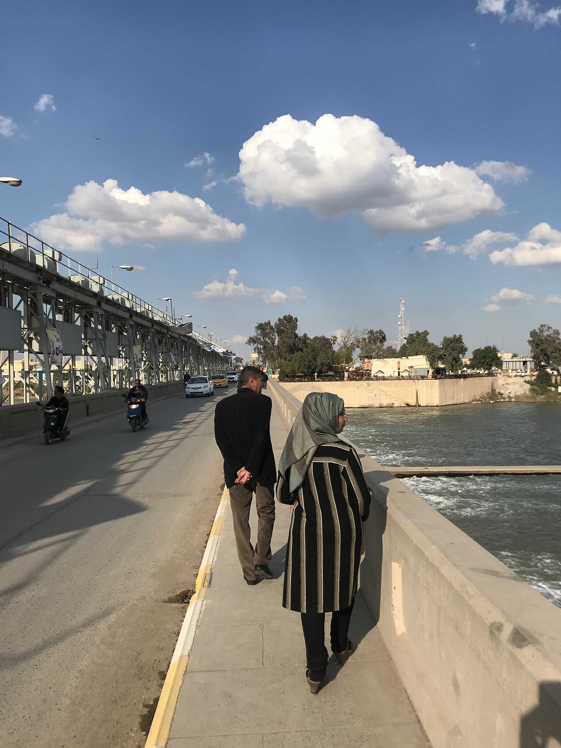
The old town lies within a sharp bend of the Tigris, almost making it an island, which means the historic core is compact and best explored on foot. The Kut Barrage, built in the 1930s to feed the Gharraf irrigation canal, carries a road across the river and includes a lock for boats, making it a natural walking route between banks. Outside the centre, the city spreads across a hot desert climate with very little annual rainfall, so plan walks for cooler hours and carry water.
Arriving from the airport
The airfield associated with the city was the former Ubaydah Bin Al Jarrah Air Base, which was used as a military installation (COB Delta) and handed over to the Iraqi Air Force in 2011; it is not described as a civilian passenger airport. Most visitors therefore arrive by road, and Al-Kut's position on the Baghdad–south road network makes overland travel from Baghdad or the southern governorates the practical approach. For the final leg into the city, use a minibus or bus on one of the named lines or a pre-arranged car, and confirm arrangements with your accommodation before travelling.