Getting Around Padalarang
Padalarang is a district in West Bandung Regency, West Java, and it functions as part of the wider Bandung metropolitan area. For a visitor, the practical reality is that Padalarang is served by a mix of local minibuses, regional trains, and app-based ride-hailing, with the town itself being compact enough to walk in places but spread out enough that you will usually want wheels for anything beyond the immediate centre.
Angkot: The Backbone of Local Movement
The most common way to move around Padalarang and its surroundings is the angkot — a small city minibus that runs on fixed routes. These are operated under the Angkutan Kota Bandung network and connect Padalarang with neighbouring areas.
- Padalarang–Parongpong route: Runs between Jalan Kolonel Masturi 273 and Jalan Ciloa, with roughly two dozen stops along the way. The full trip takes around half an hour. Services run every day from early morning until early evening, and buses come by frequently — about every ten minutes.
- Padalarang–Gunung Bentang route: Another local angkot connection serving the Padalarang area.
Fares on angkot are not fixed on published schedules; you pay the driver or conductor directly, and it is worth asking locally or checking a transit app for the current rate. Have small change ready.
Trains and Regional Rail
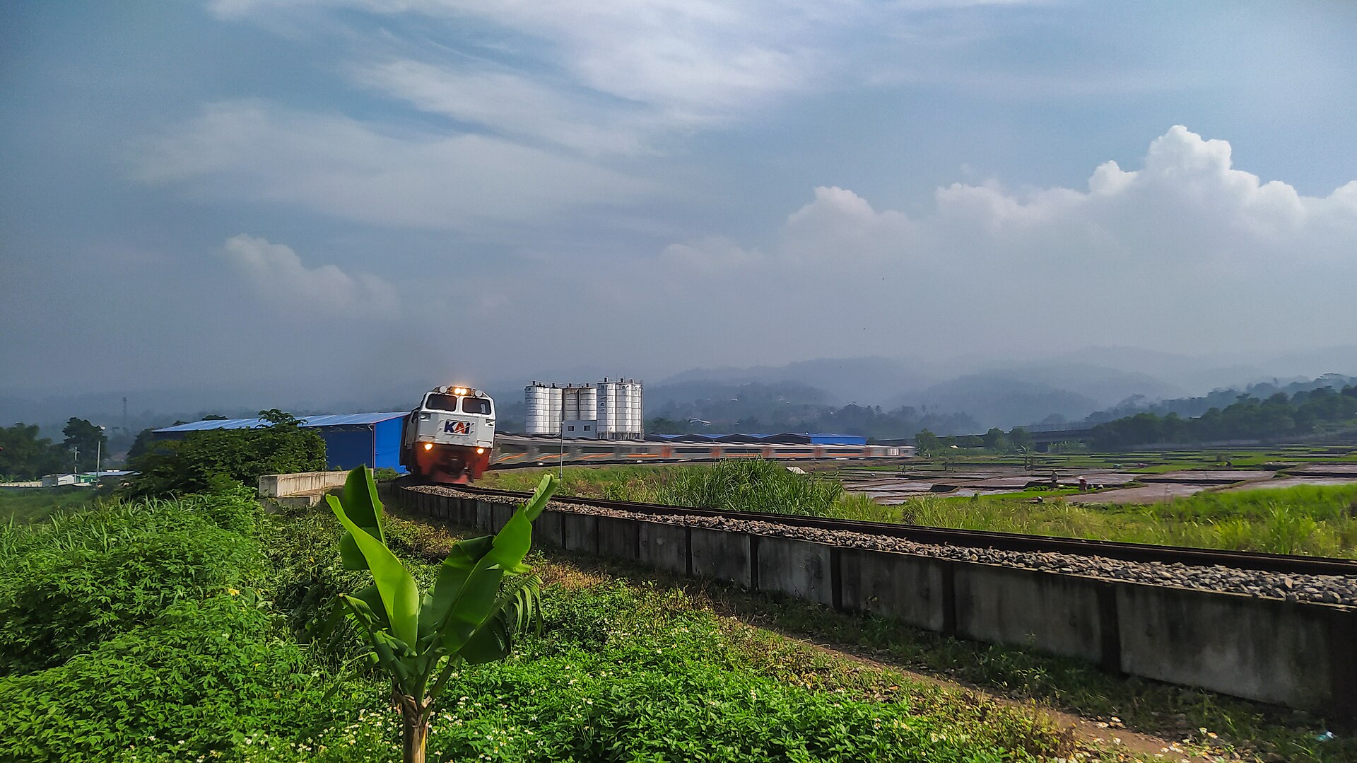
Padalarang sits on the regional rail network operated by KAI Commuter, which links the town with Bandung and other parts of West Java. This is the fastest way to cover longer distances — for example, if you are connecting to central Bandung or heading onward toward Jakarta. Tickets are bought at the station or through the operator's app; the commuter services use a tap-in, tap-out card system, so you do not need to book in advance.
There is no metro or tram network in Padalarang. Rail here means the commuter train, and that is your long-distance option.
Buses and Other Public Transport
Beyond angkot, the Bandung public transit ecosystem includes larger bus services run by several agencies — among them Trans Metro Bandung, Trans Metro Pasundan (Teman Bus), and DAMRI. These tend to serve the broader Bandung area rather than Padalarang's own streets, so they are most useful if you are travelling between Padalarang and Bandung proper. Angkutan Kabupaten Bandung also operates in the regency.
In practice, a visitor will usually combine an angkot or ride-hailing trip to a train station or bus stop, then continue by rail or bus.
Taxis and Ride-Hailing
App-based ride-hailing (Gojek, Grab, and similar) is widely used in the Bandung metropolitan area and is the simplest option if you are not confident navigating angkot routes. You book through the app, pay the fare shown, and avoid haggling. Conventional taxis also operate, but metered taxis are less common outside central Bandung, so agree on a price or insist on the meter before setting off.
Walking
Padalarang is a spread-out district rather than a dense city centre, and the ten villages that make it up are not all clustered together — Laksanamekar lies to the southeast of the others, while Tagogapu and Campakamekar sit in the far north. Walking is realistic for short hops within a single village or around a specific attraction, but it is not a practical way to cross the district. Pavements are inconsistent, and traffic on the main roads is heavy. Treat walking as a way to explore a neighbourhood, not to get from one end of Padalarang to the other.
Getting In from the Airport
The nearest major airport is Husein Sastranegara International Airport in Bandung. From there, the practical options are:
- Ride-hailing: Book a car through an app for a direct, door-to-door trip to Padalarang. This is the easiest option with luggage.
- Taxi: Available at the airport; agree on the fare or confirm the meter before departing.
- Rail connection: Take a taxi or ride-hailing car to a Bandung station, then catch a KAI Commuter train toward Padalarang. This avoids road traffic but requires a transfer.
If you are arriving via Jakarta's Soekarno–Hatta airport, the usual route is the train or bus to Bandung, then a commuter train or road transfer onward to Padalarang — a longer journey best planned in advance.
Practical Tips
- Download a transit app (Moovit is commonly used in Bandung) to check angkot routes and stops; fares are usually not listed, so ask locally.
- Carry small cash for angkot and for any informal transport.
- Angkot services generally stop by early evening, so plan your last trip of the day accordingly.
- For anything time-sensitive or after dark, ride-hailing is the most reliable choice.