Getting Your Bearings
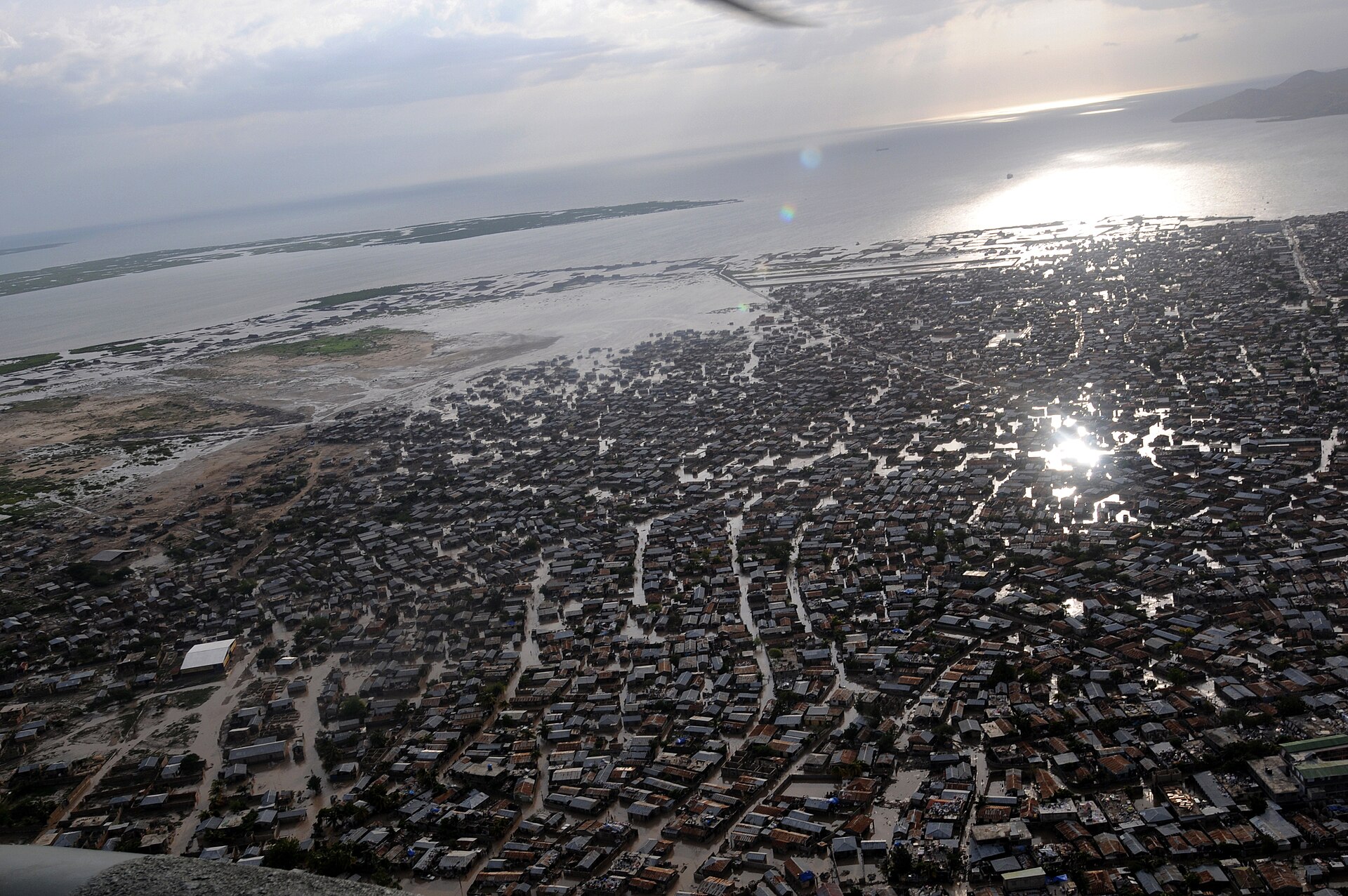
Port-de-Paix sits on Haiti's Atlantic coast on a small coastal plain at the mouth of the Three-Rivers, and it serves as the capital of the Nord-Ouest department. The city's main streets are Stenio-Vincent, Capois and du Quai, which give you a useful mental map of the urban centre. Beyond the town itself, the commune stretches out to include Baudin, Aubert, Mahotière, Bas-des-Moustiques and La Corne, so some addresses that read "Port-de-Paix" may actually be some way from the centre.
Rail, Metro and Tram
There is no rail, metro or tram network in Port-de-Paix. Visitors should plan on road transport, ferries and flights for all movement into, out of and around the city.
Buses and Public Transport
Public road transport is the mainstay of long-distance travel in and out of Port-de-Paix. The city is connected to the rest of Haiti by National Road 5 (RN5), which links it to Gonaïves in the Artibonite Department, by the R117 toward Limbé, and by the R151 toward Môle-Saint-Nicolas.
The bus route between Port-de-Paix and Port-au-Prince resumed in mid-2025 after being suspended for nearly three years following Haiti's security collapse in 2021. If you are considering this route, be aware of the following:
- The journey runs via National Roads 5 and 1, and gangs control key stretches of both highways, operating armed checkpoints where drivers pay ransoms.
- Vehicles used include 18-passenger minibuses, often loaded with merchandise on the roof, as well as larger buses and cargo trucks.
- Fares have risen sharply since 2020, and transport costs have roughly tripled, pushing up prices for food, fuel and other essentials.
- There is no state control over safety or pricing on the route; the extortion functions as de facto road governance.
- Companies serving the route have included Sans-Soucis Tours, which connects northwest cities to the capital.
- Drivers report fuller loads leaving Port-au-Prince than heading there, as people flee the capital for northern towns such as Port-de-Paix.
In practice, this means you should treat long-distance bus travel as unpredictable: confirm departures locally, expect costs well above historical norms, and understand that schedules and safety are not guaranteed by any authority.
Taxis and Ride-Hailing
The source material does not describe a formal taxi or ride-hailing sector in Port-de-Paix. Motorcycles are used as a form of transport on the Port-au-Prince route and are subject to the same checkpoint fees as larger vehicles, which suggests motorcycle taxis are part of the local transport landscape. Beyond that, visitors should arrange local transport through their accommodation or trusted local contacts rather than relying on app-based services, which are not documented here.
Walking
The urban centre of Port-de-Paix is compact enough that its main streets — Stenio-Vincent, Capois and du Quai — form a walkable core. Walking is a reasonable way to get around the town centre itself, though the source material gives no detail on pavements, lighting or safety for pedestrians, so take the usual precautions and ask locally about which areas are comfortable on foot after dark.
Ferries
A ferry connects Port-de-Paix with the island of Tortuga (La Tortue) just across the water. This is the practical way to visit the island, which the Taíno called "Gusaeni Cahini." The area around Port-de-Paix is also noted for attractive beaches and cave locations, many of which lie outside the town centre and will require arranging transport.
Arriving by Air
Port-de-Paix is served by Port-de-Paix Airport. The source material does not describe ground transport options from the airport into the city, so arrange a pickup in advance through your accommodation or a trusted local contact, and confirm the arrangement before you fly.
Practical Tips
- Plan around road travel: there is no rail or metro, and the road network is the backbone of movement.
- For long-distance buses, confirm departures and fares locally on the day, and be aware that security conditions on the highways can change.
- Use the ferry for trips to Tortuga, and ask locally about schedules and where to board.
- Keep your movements within the central streets simple on foot, and arrange vehicles for anything further afield, including beaches and caves.
- Arrange airport transfers ahead of time, since published information on airport ground transport is not available.