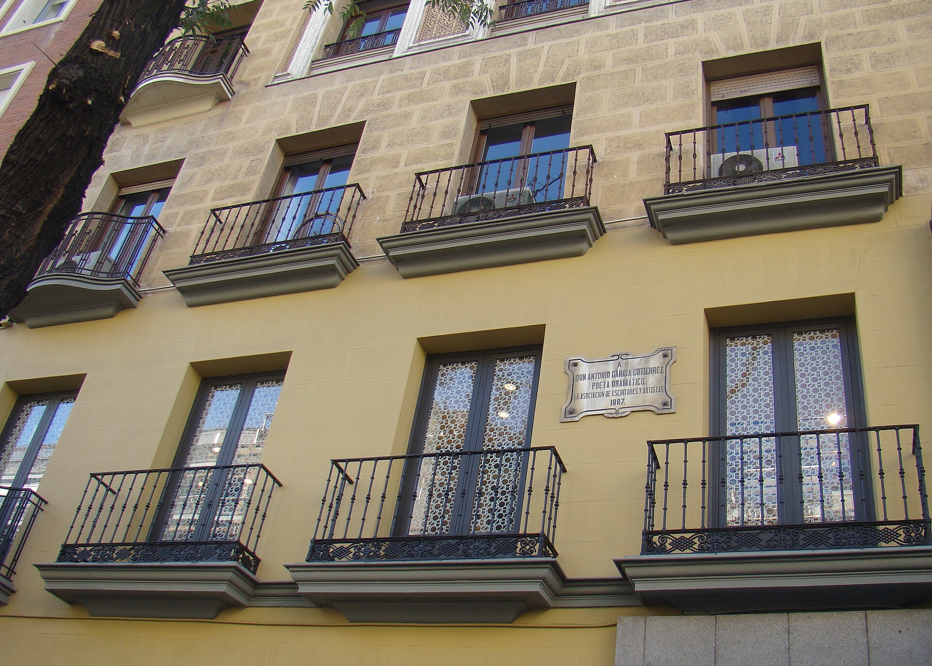
Orientation: Where Fuencarral Is
Fuencarral is a neighbourhood in the northern part of Madrid, Spain. It covers the area of the old town of Fuencarral, which was annexed to Madrid in 1950, and it sits within the Fuencarral-El Pardo district. For a visitor, the key point is that Fuencarral is part of the Madrid city network rather than a separate town, so the capital's public transport is what you will use to get around and to reach the centre.
How Visitors Get Around Madrid
Madrid's public transport is organised around a metro and rail backbone, supplemented by an extensive municipal bus network. The city's municipal bus company, EMT (Empresa Municipal de Transportes), runs the urban bus routes, and its services are integrated with Metro and Cercanías (the suburban rail network) so that different modes complement one another. For a visitor based in or near Fuencarral, the practical approach is to combine these modes: use rail or metro for longer hops and buses for local connections.
Rail, Metro and Tram
Fuencarral is served by Cercanías stations, including Fuencarral and Pitis, which link the neighbourhood into the regional rail network. The Metro also serves the wider district.
- Cercanías: Fuencarral and Pitis stations connect the neighbourhood to the suburban rail network.
- Metro: Metro services complement the bus network across the Fuencarral-El Pardo district.
- Connections: Local bus routes are designed to feed into these stations, making rail-plus-bus a sensible combination.
Buses and Other Public Transport
EMT operates a dense network of regular bus lines through the Fuencarral-El Pardo area, including routes 49, 64, 66, 67, 82, 83, 124, 127, 133, 134, 137, 170, 178 and T61, plus night lines N20, N21, N22, N23 and N24 for late travel. These lines connect neighbourhoods and link to the rail stations and the La Vaguada shopping centre.
A notable local option is Madrid's first demand-responsive bus service, run by EMT and serving the neighbourhoods of Arroyo del Fresno, Barrio del Pilar, Mirasierra, Montecarmelo and Tres Olivos. It works like a shared shuttle: you book through the "Smart Bus Madrid" mobile app, specifying your desired departure and arrival times and your pick-up and drop-off points. You can reserve up to 24 hours ahead or book at the last minute, subject to availability, and the app assigns the nearest EMT stop as your pick-up point and gives an estimated arrival time. The system groups passengers heading in similar directions into the same vehicle. Fares and payment methods are the same as on the regular EMT network, and the service runs daily from 07:00 to 20:00. It is designed to connect residents to the Fuencarral and Pitis Cercanías stations and to La Vaguada.
- Regular EMT buses: daytime lines 49, 64, 66, 67, 82, 83, 124, 127, 133, 134, 137, 170, 178 and T61.
- Night buses: N20, N21, N22, N23 and N24.
- Demand-responsive bus: book via the "Smart Bus Madrid" app; same fares and payment as the regular EMT network; daily 07:00–20:00.
Taxis and Ride-Hailing
If you need a door-to-door option, ask your accommodation or check locally for available providers; the bus, metro and rail network described above is the best-documented way to move around.
Walkability
Fuencarral is a Madrid neighbourhood with its own local centres, shops and services, and the demand-responsive bus is explicitly designed to link residential areas with the La Vaguada shopping centre and the rail stations. That suggests a layout where some errands and connections are walkable within neighbourhoods, while longer trips across the district are better made by bus or rail. For specific walking routes, use a maps app to gauge distances from your accommodation to the nearest stop or station.
Getting In from the Airport
The provided material does not cover airport connections. To reach Fuencarral from Madrid's airport, the reliable approach is to use the city's public transport network: take the airport's rail or metro link into the city and connect onward to the Cercanías stations at Fuencarral or Pitis, or to a metro stop serving the district, then finish with a local EMT bus if needed.
Practical Tips
- Plan around the Cercanías stations at Fuencarral and Pitis as your rail gateways to the neighbourhood.
- Use the "Smart Bus Madrid" app if you want an on-demand ride within the district; it uses the same fares as regular EMT buses.
- Keep the night bus lines (N20–N24) in mind for late returns.
- Combine modes: bus to a station, then rail or metro for longer journeys.