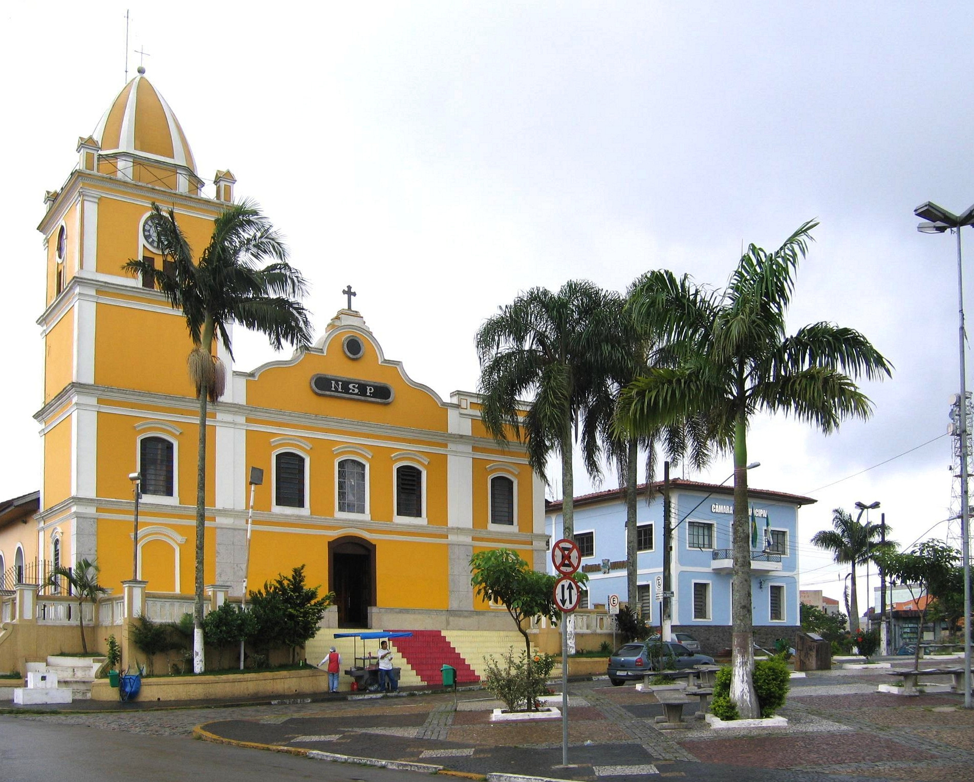
Getting Around Itapecerica da Serra
Itapecerica da Serra is a municipality in the Brazilian state of São Paulo and part of the Metropolitan Region of São Paulo. It sits about 23 miles southwest of the city of São Paulo, at an altitude of roughly 920 metres above sea level. That location within the metropolitan region matters for a visitor: the town is tied into the wider São Paulo transport area rather than being an isolated destination, so most practical journeys involve a combination of local transport and connections toward the capital.
Rail, Metro and Trams
Itapecerica da Serra does not have its own rail, metro or tram network. Visitors should not expect to arrive or move around the municipality by train. The nearest major rail and metro systems belong to the city of São Paulo, and reaching them from Itapecerica da Serra means using road-based transport first. Plan your trip around buses, taxis or ride-hailing rather than assuming a station in town.
Buses and Public Transport
Buses are the main form of public transport available for getting around Itapecerica da Serra and for connecting the municipality with the wider region. Because the town forms part of the Metropolitan Region of São Paulo, bus services are the practical link between the local area and the metropolitan network centred on the capital.
- Use buses for local trips within the municipality and for longer journeys toward São Paulo.
- Treat the bus as your connection to the São Paulo rail and metro system, since no rail line serves Itapecerica da Serra directly.
- Fares, passes and payment methods are administered locally and regionally, so confirm current ticket options and where to buy them when you arrive, rather than relying on pre-trip assumptions.
Taxis and Ride-Hailing
Taxis and ride-hailing services are a flexible option for getting around Itapecerica da Serra, particularly for trips that are awkward by bus or for reaching specific addresses. They are also useful for the first leg of a journey toward São Paulo, connecting you to a bus route or onward transport. As with any destination, agree on the fare or confirm the app price before setting off.
Walking
Walking is a reasonable way to cover short distances in the town centre and to reach nearby shops, services and bus stops. Itapecerica da Serra is a spread-out municipality, however, so walking is best treated as a complement to buses, taxis or ride-hailing rather than as a way to cross the whole area. For longer or less central journeys, use a vehicle.
Getting There from the Airport
The practical airport for Itapecerica da Serra is the São Paulo airport system, since the municipality has no airport of its own. Reaching Itapecerica da Serra from the airport is a road journey: you travel into the São Paulo metropolitan area and then continue southwest to the municipality.
- Expect to cover the trip by road, using a taxi, a ride-hailing service or an airport bus connection.
- If you use public transport, you will typically need to reach the São Paulo bus and metro network first and then take a bus onward to Itapecerica da Serra.
- Allow extra time for the journey, as you are crossing from the capital out to a municipality roughly 23 miles to the southwest.
Practical Tips
- Build your plans around buses and road transport, not rail, since Itapecerica da Serra has no rail, metro or tram service of its own.
- Use the town as a base within the São Paulo Metropolitan Region and connect through the capital's network for longer trips.
- Check ticket and pass arrangements for buses locally on arrival, as these are the key to moving around affordably.
- Keep taxi and ride-hailing apps handy for gaps in bus coverage and for early or late journeys.