Getting Around Botucatu
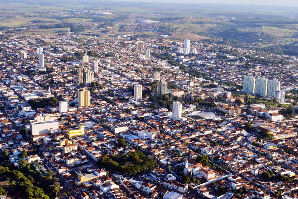
Botucatu is a mid-sized city in the southeastern interior of São Paulo state, set at an elevation of roughly 750 to 920 metres on the São Paulo plateau. Its layout reflects its history as a regional centre for education, medicine, agriculture and industry, and getting around is generally straightforward for a visitor. The sections below cover the practical options: public transport, taxis and ride-hailing, walking, and how to reach the city from its airport.
Public Transport and the City Bus Network
Botucatu's public transport system is built around city buses. For a visitor, the key practical point is that the system uses a rechargeable card, similar in concept to the single-ticket card used in the city of São Paulo. If you plan to use the buses more than occasionally, getting hold of this card is the sensible first step, since it is the standard way to pay fares on the network.
Bus schedules and routes are published and can be consulted, so it is worth checking the current timetable and route map for the lines that serve wherever you are staying before you set out. This is especially useful in a city where services may be less frequent than in a major metropolis.
- Payment: a stored-value card, comparable to São Paulo's single-ticket card, is the standard fare medium.
- Planning: consult the published bus schedule and route information to work out which lines serve your area.
- Practical tip: recharge your card in advance rather than relying on paying cash on board.
Rail, Metro and Trams
Botucatu has no metro, tram or urban rail network. There is no rail-based public transport for a visitor to use within the city, so all local journeys by public transport are made by bus. Plan your movements around the bus network, taxis or ride-hailing rather than expecting any train or metro service.
Taxis and Ride-Hailing
Taxis are available in the city, and ride-hailing apps are a practical alternative for visitors who prefer not to navigate the bus network or who are travelling outside bus hours. For longer intercity journeys, ride-sharing is also an option: there are Blablacar rides offered from São Paulo to Botucatu, which is a useful choice if you are arriving from the state capital and want to share the cost of the trip.
- Within the city: taxis and ride-hailing apps cover local trips.
- From São Paulo: Blablacar rides are available as a shared alternative to the bus.
Walking
Botucatu is a compact regional city rather than a sprawling metropolis, and its central areas are generally amenable to walking for short trips between shops, services and accommodation. The city sits at a considerable elevation on the plateau, and the terrain and cooler plateau breezes — the "good wind" from which the city takes its name — are part of the experience of moving around on foot. For longer journeys across the city, or to reach the university campuses and outlying districts, you will want to combine walking with buses, taxis or ride-hailing.
Getting There from São Paulo
Most visitors reach Botucatu from São Paulo, the state capital, which lies to the southeast. The main option is the intercity bus: there are several daily departures from São Paulo, served by multiple bus companies. The app Buscaonibus covers these companies and is a convenient way to find and compare rides. As an alternative, Blablacar rides from São Paulo are also available.
- Intercity bus: several daily departures from São Paulo, operated by more than one company; use Buscaonibus to find a ride.
- Ride-sharing: Blablacar rides from São Paulo offer a shared alternative.
Arriving by Air
The city is served by Tancredo de Almeida Neves Airport. If you are flying in, plan your onward transfer into Botucatu in advance: arrange a taxi or ride-hailing pickup, or check with your accommodation about transfers, since the airport is not connected to any rail or metro service and the city's public transport is bus-based.
- Airport: Tancredo de Almeida Neves Airport serves the city.
- Onward travel: use a taxi or ride-hailing app, or arrange a transfer through your accommodation.
Practical Summary
- Local public transport is by bus, paid with a rechargeable card similar to São Paulo's single-ticket card.
- There is no metro, tram or urban rail network in Botucatu.
- Taxis and ride-hailing cover local trips; Blablacar covers some longer journeys from São Paulo.
- Central Botucatu is walkable for short trips, but use buses or cars for longer cross-city journeys.
- From São Paulo, take an intercity bus (find operators via Buscaonibus) or a Blablacar ride.
- The city's airport is Tancredo de Almeida Neves Airport; arrange a taxi, ride-hailing pickup or accommodation transfer on arrival.