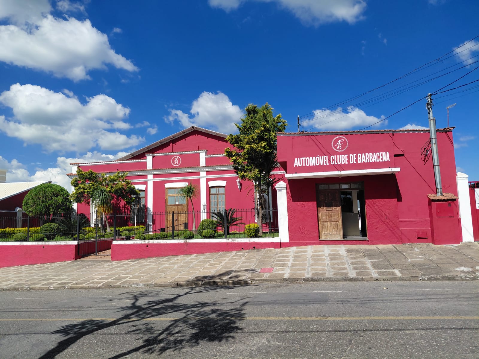
Getting Around Barbacena
Barbacena sits in the Serra da Mantiqueira in Minas Gerais, at high elevation, and its terrain shapes how you move around. The historic centre is compact but hilly, with steep ascents and descents and cobblestone streets. That combination makes some modes far more practical than others, and it is worth planning your day with the hills in mind.
Walking
Walking is the main way visitors get around the centre. The core is compact enough to cover on foot, and it is the simplest way to see the city. Two practical cautions: wear flat shoes, and be prepared for slopes and uneven cobblestones. If you are travelling with heavy wheeled luggage or have limited mobility, the terrain will be difficult, so plan to use a vehicle for longer or steeper hops.
Rail, Metro and Trams
There is no passenger train service to Barbacena or anywhere in this part of Minas Gerais. The tracks in the region are freight-only. Barbacena was historically a station on the Estrada de Ferro Oeste de Minas, a narrow gauge railway, and the old station building survives, but it is not a transport hub. There is no metro or tram network to use. For practical purposes, you should not plan any part of your trip around rail.
Buses and Public Transport
Public buses operate in the city, but intervals between services can be long, so they are not always the quickest option for a short visit. Intercity buses are the main way to reach Barbacena from elsewhere in the region, connecting the city with nearby towns. Tickets are available at bus stations and through online services. As a rough guide to regional connections, Juiz de Fora is roughly a one-and-a-half to two-hour bus ride, Conselheiro Lafaiete about an hour, and Lavras around three hours.
Taxis and Ride-Hailing
Ride-hailing apps such as Uber and 99 are common in Barbacena, and radio taxis are widely available as well. Given the hills and the sometimes long waits for public buses, these are the most convenient alternatives for getting across town or up and down the steeper parts of the city. Car rental and private transfers are also options if you prefer to drive yourself.
Arriving by Air
Barbacena has its own airport, coded QAK, but it is not a major hub and handles mainly private or special flights, with few or no scheduled services. In practice, visitors fly into one of two alternatives:
- Tancredo Neves International Airport (Confins) in Belo Horizonte, the state capital, which is the larger international gateway for the region.
- The regional airport at Juiz de Fora, in the Zona da Mata, which is closer to Barbacena and receives regular flights from major Brazilian cities such as São Paulo.
From either airport, you will complete the journey to Barbacena by road, using the BR-040 and BR-265 highways. The main approaches have generally good road surfaces. By car, Conselheiro Lafaiete is roughly 50 to 60 minutes away via BR-040, Juiz de Fora about an hour and a half via BR-040, and Lavras around two and a half to three hours via BR-265. Car rental, taxis and private transfers are all available for this final leg.
Practical Tips
- The currency is the Brazilian Real. Cards are widely accepted, but carry small-denomination cash for street fairs and small purchases.
- Portuguese is the main language, and you will find little English outside large hotels.
- Bottled water is recommended over tap water.
- Greeting shop staff and drivers is customary in Minas Gerais, and refusing offered coffee or pastries may be seen as impolite.
- Local specialties worth trying include pão de queijo and doce de leite.
- The climate is cooler than the Brazilian average, and winter (June to August) can be cold, so pack accordingly.