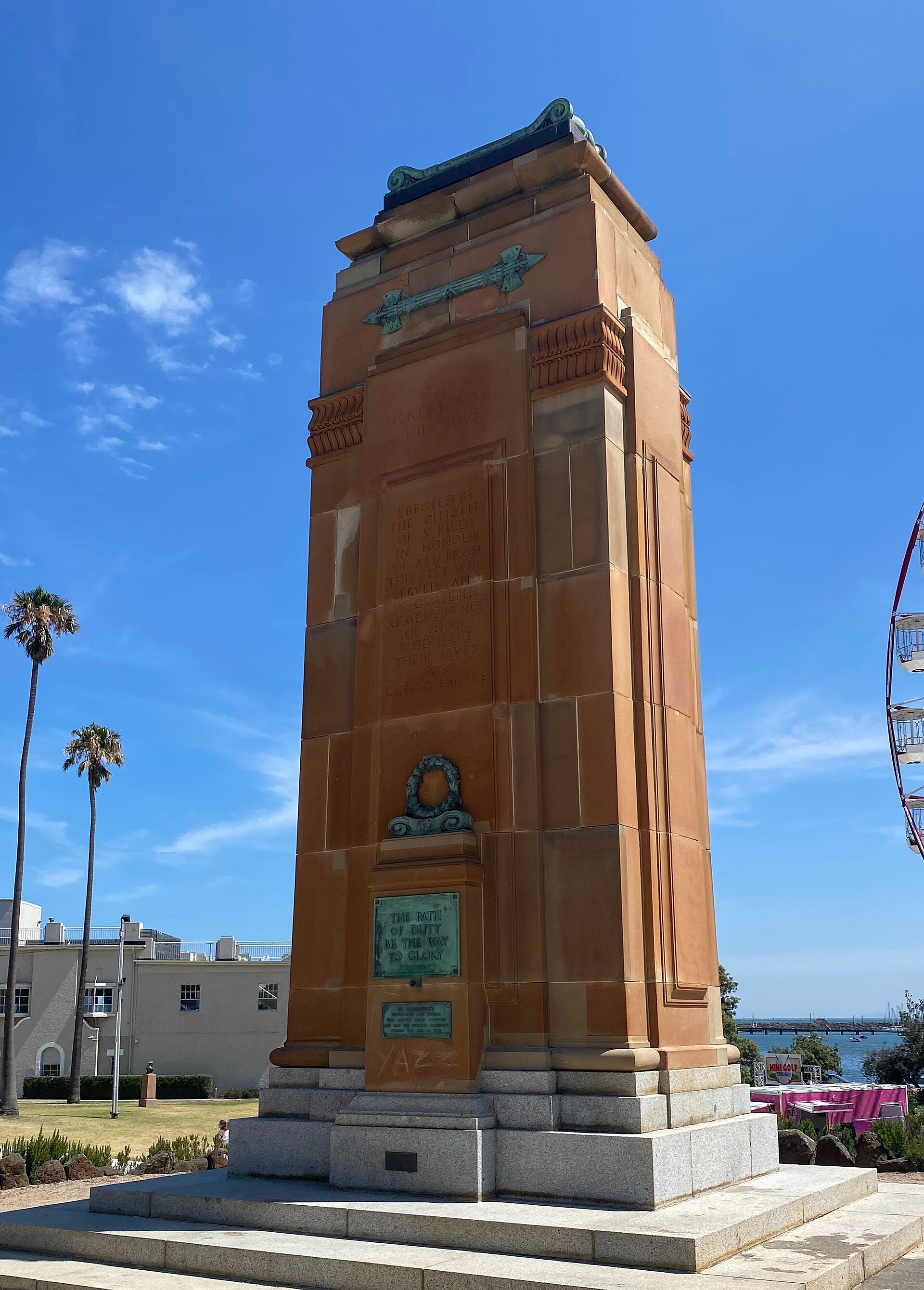
Getting around the City of Port Phillip
The City of Port Phillip sits on the northern shores of Port Phillip Bay, just south of Melbourne's central business district. It takes in well-known areas such as St Kilda, South Melbourne, Port Melbourne, Albert Park, Middle Park, Balaclava and Elwood, and it is one of Victoria's smallest and most densely populated municipalities. For a visitor, that compactness is good news: the city is well served by public transport, with a substantial tram network, dedicated tram lines to St Kilda and Port Melbourne, and railway stations on the Sandringham line, alongside local bus services.
Because the area is small and densely built up, many of its highlights sit close together. The city contains varied retail, entertainment and leisure precincts, including Bay Street in Port Melbourne, Victoria Avenue in Albert Park, Clarendon Street in South Melbourne, Armstrong Street in Middle Park, Fitzroy Street and Acland Street in St Kilda, Carlisle Street in Balaclava and Ormond Road in Elwood. It also has a long foreshore, shopping strips and public open space, and it draws millions of visitors each year.
Trams: the backbone of local travel
Trams are the most characteristic way to move around Port Phillip and the natural choice for many short trips between the city's shopping and entertainment strips. The municipality is described as having a substantial tram network, including the St Kilda and Port Melbourne tram lines. These routes link the inner suburbs with the central business district to the north, which makes them useful both for getting into the city and for hopping between precincts.
- Use trams for connections between St Kilda, South Melbourne, Port Melbourne and the CBD.
- Tram services also run to major events — for example, trams serve the St Kilda Festival, when Fitzroy Street and the Upper Esplanade are closed to traffic.
Trains
Port Phillip is served by two stations on the Sandringham railway line. These give visitors a rail link into the wider Melbourne network, complementing the tram and bus services that cover the municipality itself. If your trip takes you beyond Port Phillip — into the CBD or further afield — the rail network is the fastest way to cover longer distances, with trams and buses handling the local legs.
Buses and other public transport
Alongside trams and trains, bus services operate within the City of Port Phillip. Council's transport strategy commits to partnering with others to deliver public transport that is more frequent, reliable and accessible, and to integrating public transport with walking, cycling and new technology. In practice, that means buses fill in the gaps between tram and rail corridors and serve areas that the fixed tram and train lines do not reach directly.
For a visitor, the simplest approach is to treat the tram, train and bus networks as one system: plan your route using the local public transport map published by Public Transport Victoria, and expect to combine modes for longer journeys.
Tickets and passes
Melbourne's public transport uses a single ticketing system across trains, trams and buses, so the same card or ticket covers all three modes. You touch on when you board and touch off when you finish your trip, and fares are calculated from the zones you travel through. Because Port Phillip sits immediately south of the CBD, most visitor trips within the municipality and into the city centre fall within the central zone.
- Buy or top up a reusable smart card, or use a contactless bank card where accepted, rather than paying cash on board.
- Touch on at the start of every journey and touch off at the end — including on trams, where inspectors do check.
- If you are staying for several days and travelling frequently, ask about daily or multi-day caps, which limit what you pay in a single day.
Taxis and ride-hailing
Taxis and ride-hailing services are widely available across the inner suburbs and are a convenient option for late nights, for trips with luggage, or for destinations that are awkward to reach by tram or bus. They are particularly useful around the entertainment precincts of St Kilda and South Melbourne, and for short hops that would otherwise involve a change of transport mode. As in any large city, demand can spike during major events — the St Kilda Festival, for instance, closes Fitzroy Street and the Upper Esplanade, so pick-up and drop-off points shift and traffic is diverted.
Walking and cycling
Port Phillip is a compact, densely populated municipality, which makes walking a genuinely practical way to get around, especially within and between the shopping strips. Council's transport strategy places emphasis on creating 10-minute walkable neighbourhoods, on safety and access, on spaces for walking, socialising and play, and on boosting bike riding. The city also has a long foreshore that is well suited to walking and cycling.
- Walking works well for short trips between nearby strips — for example, around St Kilda's Fitzroy Street and Acland Street, or through South Melbourne and Albert Park.
- The foreshore is a natural route for a stroll or a ride, and it links several of the municipality's waterfront areas.
- Cycling is supported by council strategy, and integrating bikes with public transport is an explicit goal.
Getting in from the airport
Melbourne's main international and domestic airport lies to the north-west of the city, outside Port Phillip. To reach the City of Port Phillip from the airport, you have three broad options: an airport bus service that runs to the city and connects with the local network, a taxi or ride-hailing car direct to your accommodation, or a combination of airport transfer and train into the CBD followed by a tram, train or bus onward to Port Phillip.
- Airport bus: a shuttle service connects the airport with central Melbourne, where you can transfer to trams, trains or buses heading south into Port Phillip.
- Taxi or ride-hailing: the most direct option, taking you door to door — useful if you are arriving late or carrying luggage.
- Train plus local transport: rail links the airport area with the CBD, from where the tram and train lines serving Port Phillip continue your journey.
Whichever option you choose, allow extra time at peak periods, and have your smart card or contactless payment ready before you transfer to the local network.
Practical tips for visitors
- Base yourself near a tram line or a Sandringham line station if you plan to move around a lot — it makes the whole network easier to use.
- Check the Public Transport Victoria local map for Port Phillip before you travel, so you know which tram, train and bus routes serve your destination.
- Expect road closures and changed tram arrangements during major events such as the St Kilda Festival and the Australian Formula 1 Grand Prix at the Albert Park Circuit.
- Combine modes: trams for short local hops, trains for longer trips, buses for gaps in the network, and walking or cycling for the compact inner-suburb stretches.