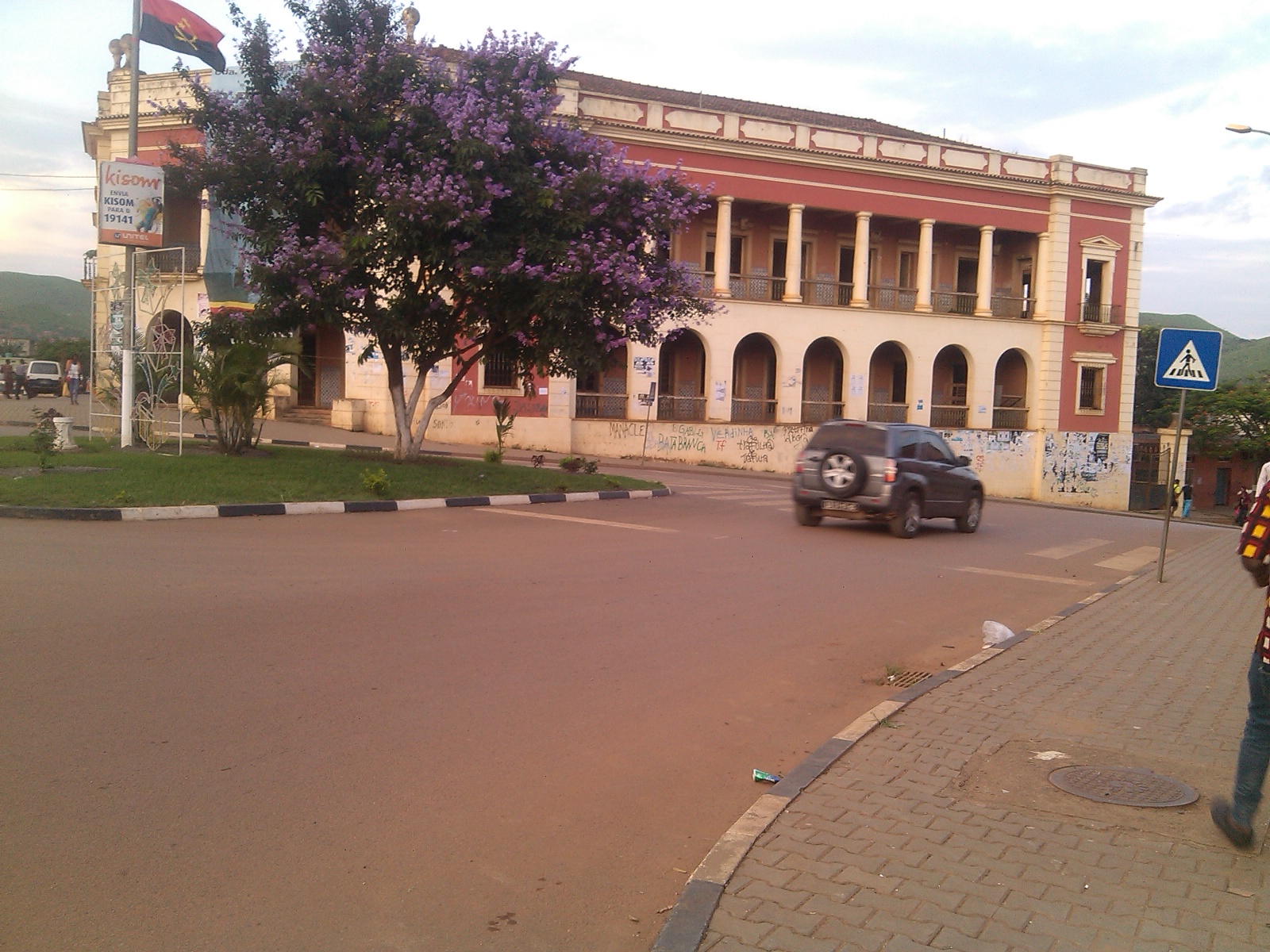
Getting Around N'dalatando
N'dalatando is the capital of Cuanza Norte Province and the seat of Cazengo Municipality, sitting at an elevation of around 670 metres in a tropical savanna climate. It is a compact provincial town rather than a major metropolis, and the practical reality for a visitor is that getting around relies on a small number of straightforward options: the railway, the national road, and local road transport. There is no metro or tram system here, and no urban rail network beyond the town's station on the Luanda Railway.
Rail: The Luanda Railway
The town is served by a station on the northern railway of the Luanda Railway. For a visitor, this is the most distinctive piece of transport infrastructure in N'dalatando and the one most likely to be useful for longer journeys rather than short hops within town. The railway connects the town into the wider regional network, so if you are arriving from or heading toward the Luanda corridor, the train is worth checking as an alternative to road travel.
Practical points to keep in mind:
- The station is the town's rail access point on the Luanda Railway's northern line.
- Rail is best thought of as intercity or regional transport rather than a way to move around N'dalatando itself.
- Because schedules and ticket arrangements on Angolan railways can change, confirm departure times and how to buy a ticket locally or at the station before you plan a journey around a train.
Buses and Other Public Transport
The source material does not describe a formal municipal bus network, ticketing system, or transit passes for N'dalatando. What it does establish is that National Road No. 230 runs through the town, linking Luanda to the west with Malanje to the east. That road is the backbone of surface travel in and out of N'dalatando, and long-distance bus and minibus services in Angola generally operate along such national routes.
For a visitor, the sensible approach is:
- Treat the national road corridor as your main artery for reaching N'dalatando from Luanda or continuing east toward Malanje.
- Ask at your accommodation or a local transport point about current bus and shared-transport departures, since these are arranged locally rather than through an online booking system.
- Do not expect a metro-style fare card or transit pass; pay your fare directly for the journey you are making.
Taxis and Ride-Hailing
The reference material contains no information about taxis, ride-hailing apps, or private hire services in N'dalatando. It would be misleading to describe specific operators, apps, or fare structures that are not documented here. In practice, this means you should treat local road transport as something to arrange on the ground: ask your hotel or guesthouse, or local contacts, what is currently available and what a fair price looks like before you set out.
Walkability
N'dalatando is a town of modest size, and its layout is shaped by its geography: the Luinha River bounds it to the north, while the Lucala River borders it on the east, south, and west. That riverside framing gives the town clear natural edges. Within the built-up area, walking is a reasonable way to reach nearby amenities, and it is the simplest way to get a feel for the place.
A few things worth knowing before you set out on foot:
- The town sits at around 670 metres elevation, so the terrain and climate are worth factoring into how far you plan to walk.
- The climate is tropical savanna, which means heat and a distinct wet season; plan walks for cooler parts of the day and carry water.
- One genuinely worthwhile walking destination is the botanic garden, Angola's only one. It began as part of a Portuguese agricultural research station and holds impressive specimens of bamboos, rubber trees, podocarps, and fruit trees, along with a large plantation of Etlingera elatior, the porcelain rose, grown for local trade.
Getting from the Airport into the City
The reference material does not identify an airport serving N'dalatando, nor does it describe any airport transfer, shuttle, or taxi service between an airport and the town. Because of that, no specific airport-to-city guidance can be given here without inventing details.
What can be said with confidence is how the town connects to the wider region, which is what most arrivals will actually use:
- National Road No. 230 links N'dalatando to Luanda in the west and Malanje in the east, making it the principal road connection for anyone arriving overland.
- The town has a station on the Luanda Railway's northern line, providing a rail connection into the regional network.
- If you are flying into Angola, the practical route to N'dalatando will most likely involve arriving in Luanda and continuing by road or rail; confirm current options locally, as services and schedules change.
Putting It Together
N'dalatando is a provincial capital with a simple transport picture: a railway station on the Luanda Railway, a national road running through town, and local road transport arranged on the ground. There is no metro, tram, or urban rail system to navigate, and no documented municipal bus ticketing scheme. For a visitor, the workable strategy is to walk the town centre, use the national road corridor for longer trips, check the railway for regional journeys, and confirm local transport arrangements and prices with your accommodation before you travel.