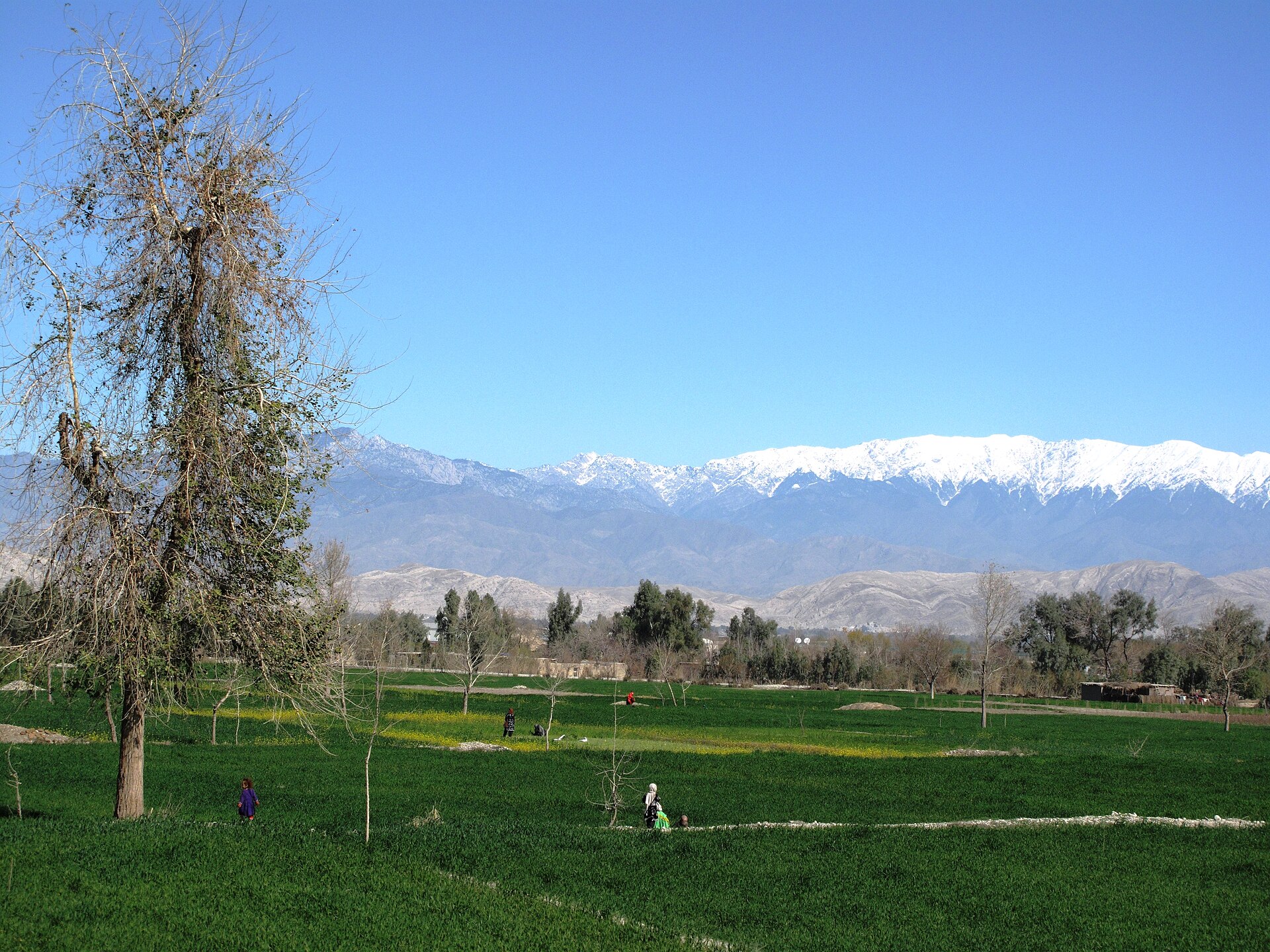
Getting Around Jalalabad
Jalalabad is a busy trading city in eastern Afghanistan, and its layout reflects that role: the city is organised into districts, most of which are laid out on a grid of roads, with denser housing in the central districts and more open, undeveloped plots toward the outer ones. For a visitor, that grid pattern is helpful — much of the city is navigable on foot or by short vehicle hops rather than requiring a complex public transport system.
Rail, Metro and Tram
There is no rail, metro or tram network in Jalalabad. Visitors should plan on road-based transport only.
Buses and Public Transport
Jalalabad does not have a documented urban bus or public transport system that a visitor can rely on for getting around within the city. What is documented is intercity bus travel: a bus service between Jalalabad and Peshawar operates daily, which is useful if you are arriving from or continuing on to Pakistan. The highway linking Kabul and Jalalabad is described as the busiest in Afghanistan, heavily used by trucks supplying Kabul with food and other goods, and it was reconstructed in 2006.
- Intercity buses: A daily service connects Jalalabad with Peshawar.
- Within the city: No bus, metro or tram network is documented — expect to use taxis or walk.
Taxis and Ride-Hailing
Because no public transport network is described, private vehicles and taxis are the practical way to cover longer distances across the city's districts. Visitors should arrange transport locally and confirm fares in advance, as no official fare structure is documented here.
Walkability
Jalalabad's central districts have a grid of roads and the highest density of dwellings, which makes the core of the city relatively straightforward to navigate on foot. The city is compact in its built-up areas, and its bazaars, business centres, parks, hotels and restaurants are all part of the urban fabric. Be aware, however, that Jalalabad has one of the hottest climates in Afghanistan, with summer temperatures that can reach extreme highs, so walking is best done in the cooler parts of the day. The city's lower-elevation northern and southwestern areas catch cooling winds in summer, which can make those parts more comfortable to move through on foot.
Getting from the Airport into the City
Jalalabad Airport sits in the southeastern part of the city. Because it is located within the city itself rather than far outside it, the transfer into the centre is a short road journey rather than a long-distance trip. Note that the airport has historically also served as a military base, so facilities and access arrangements for civilian travellers may differ from a standard commercial airport.
Practical Summary
- No rail, metro or tram — all movement is by road.
- No documented city bus network — intercity buses (e.g. to Peshawar) are the main public transport option.
- Taxis and private vehicles are the practical way to cross the city; no ride-hailing or fare system is documented.
- Walking works well in the central grid districts, but plan around the extreme summer heat.
- The airport is inside the southeastern city, so transfers are short — arrange a taxi or private car, as no shuttle service is documented.