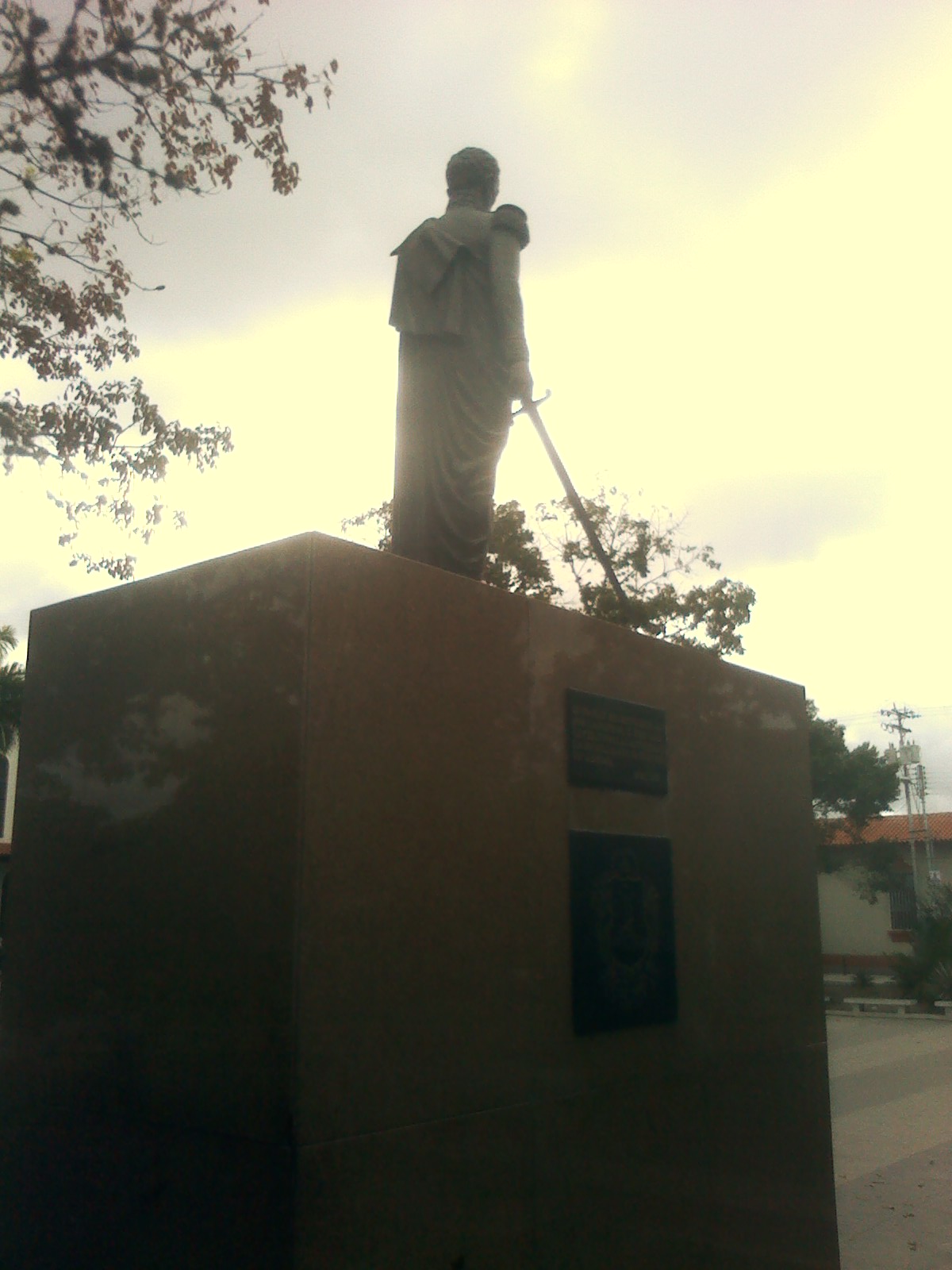
Upata
Introduction
Upata is a city in the Guayana region of Venezuela, in the north of Bolívar State, set between the basins of the Orinoco and Cuyuní rivers. It is the capital and main town of Piar Municipality, and its name comes from an indigenous word, probably from the Kamaracoto ethnic group, believed to mean "Rose of the mountain" — the name of a chief's daughter.
Getting around
Upata has no rail, metro or tram network, so every journey into, out of and around the city is by road. The urban core is compact and sits in a valley, which makes the centre reasonably walkable: Simón Bolívar Square, the Alejandro Otero "Bicentennial" Park, the Monument to the Virgin of Peace, the Holy Mary Stone, the Hill of the Bull and the Simón Chávez Stadium are all clustered in and around the middle of town and can be linked on foot. For outlying spots such as the La Carata aquifers or the Timoteo Caves at Cerro El Jobo, you will need a vehicle. The climate is tropical savanna, warm year-round with a rainy season, so plan walks for the cooler parts of the day and carry rain protection.
The documented interurban option is SITSSA, the state-owned bus operator, which runs a daily departure to Upata from its Caracas terminals (Terminal de Oriente and Terminal La Bandera); the journey takes roughly nine hours. Fares are quoted in US dollars but paid in bolívares at the prevailing BCV rate, so bring local currency or be ready to convert at the official rate. SITSSA also serves other eastern destinations from Caracas, including Puerto Ordaz, San Félix, Tucupita, Maturín, El Tigre and Puerto La Cruz, which can work as staging points, though schedules vary by day of the week. Locally, expect to arrange car or taxi transport informally and agree on a fare before setting off; there is no documented ride-hailing service or municipal bus pass. Upata has no commercial airport, so plan to fly into Caracas or another eastern city and continue by road.
When to go
Upata has a tropical savanna climate, so you can expect warm temperatures for most of the year. Rain typically begins in November, January and August, so plan for wet weather arriving during those months. August is also the warmest month, meaning heat and the onset of the rains coincide — if you visit then, prepare for both.
Rainfall varies widely across the area, from the city proper to parts of the mountain range, where it is noticeably wetter. If you want to avoid the heaviest rain, keep this variation in mind when deciding where to base yourself and when to travel.
Three days in Upata
Day one: Start in Upata itself, in Piar Municipality, Bolívar State, and get your bearings around Simón Bolívar Square, the town's central reference point. From there, look for the Bicentennial Park and the Monument to the Virgin of Peace, and take in the Alejandro Otero and Holy Mary Stone landmarks that anchor the town's civic and religious life. Keep the pace easy and let the town's Guayana setting set the tone for the days ahead.
- Simón Bolívar Square
- Bicentennial Park
- Monument to the Virgin of Peace
- Alejandro Otero and Holy Mary Stone
Day two: Head out of town for the natural sights. The Timoteo Caves and Cerro El Jobo are the standout excursions from Upata, and the Kamaracoto area and La Carata are also worth working into your route. If you want a local sporting fixture, the Simón Chávez Stadium is the place to check. Plan your transport around the day's outings rather than trying to fit everything in at once.
- Timoteo Caves
- Cerro El Jobo
- Kamaracoto and La Carata
- Simón Chávez Stadium
Day three: Use Upata as a base for the wider region. SITSSA runs services linking the town with Caracas and the Oriente, and the Terminal La Bandera in Caracas is the capital's main departure point for these routes; fares are quoted in US dollars and set against the BCV rate, so confirm the current arrangement before you travel. Nearby connections include Puerto Ordaz, San Félix, Tucupita, Maturín, El Tigre and Puerto La Cruz, with the Orinoco and Cuyun rivers shaping the geography of the Guayana region around you.
- SITSSA services and Terminal La Bandera
- Puerto Ordaz and San Félix
- Tucupita, Maturín, El Tigre and Puerto La Cruz
- Orinoco and Cuyun rivers