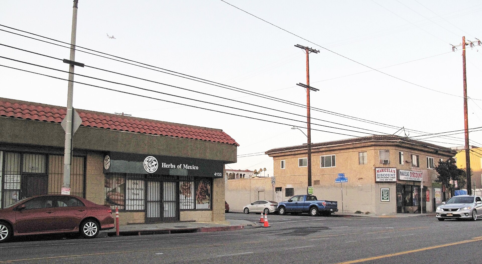
East Los Angeles
Introduction
East Los Angeles is an unincorporated community on the Eastside of Los Angeles County, wrapped around the City of Los Angeles on its north and west and touching it at a small portion to the south. Monterey Park lies to the northeast, Commerce to the south, and Montebello to the southeast. Two freeways shape the area: California State Route 60 and Interstate 710 intersect through the community, so you can expect to cross it by car.
Because it is unincorporated, East L.A. is governed by the county rather than a city of its own, and the Census Bureau treats it as a census-designated place for statistical purposes. That status gives it a distinct identity on the map even as it sits directly against the city that surrounds it.
Getting around
East Los Angeles is unincorporated, so getting around means plugging into the wider Los Angeles County transit system. Your most useful local option is the El Sol Shuttle, a county-run public shuttle with three separate lines that all meet at a timed transfer point at the East Los Angeles Civic Center, so you can switch between them without a long wait. The fare is a flat 25 cents per trip, and Metro 30-day and EZ passes are accepted as cash fare, so a single pass can cover both your local and regional travel. Seniors aged 60 and over, people with disabilities, and children under five ride free. The shuttle serves the shopping areas along Cesar Chavez Avenue and Whittier Boulevard, the Commerce Shopping Center, the Roybal Comprehensive Health Center, Cal State LA, and East Los Angeles Community College, and it connects with regional bus and rail services and other transit providers.
East L.A. itself has no rail station, so treat the shuttle as your local circulator and the Metro rail and bus network as your long-distance option; because the community borders the City of Los Angeles on its north, west, and part of its south, connections into the city are short and direct. The community sits at the junction of State Route 60 and Interstate 710, and it is densely urban throughout, which makes taxis and app-based ride-hailing realistic for point-to-point trips, especially to places not on a shuttle line — confirm your pickup location carefully, since boundaries in an unincorporated area can be looser than you expect. Walking works well once you are on the main commercial corridors such as Cesar Chavez Avenue and Whittier Boulevard or around the Civic Center, but the community is large, so use the shuttle or a bus for longer hops. From the region's principal airport to the southwest, the standard approach is to connect into the Metro network and take the shuttle for the final leg.
When to go
East Los Angeles has a hot-summer Mediterranean climate, so your timing mostly comes down to how much heat and rain you can handle. Summer is the hottest and driest stretch of the year, with strong sun and little rain. If you visit then, expect heat and plan your outdoor sightseeing for the cooler parts of the day.
Winter is the mild, wetter season, when most of the year's rain arrives. Days are cooler than in summer but still far from harsh, though rain can interrupt outdoor plans. Weigh bright, baking days against cooler, occasionally wet ones when you decide when to go.
Three days in East Los Angeles
Day one: Start your visit in East Los Angeles itself, the unincorporated Eastside community within Los Angeles County. Begin around the East Los Angeles Civic Center, then walk the nearby streets to get your bearings. Cesar Chavez Avenue and Whittier Boulevard are the main commercial arteries, so follow them for a sense of the area's everyday rhythm. If you are relying on public transport, the Metro EZ lines and the El Sol Shuttle connect parts of the district, and walking works well for shorter hops between the Civic Center and surrounding blocks.
- East Los Angeles Civic Center
- Cesar Chavez Avenue
- Whittier Boulevard
- El Sol Shuttle
Day two: Head east into the neighbouring cities strung along the Eastside. Monterey Park sits close by, and Commerce and Montebello are within easy reach by car via the California State Route and Interstate links that cross the area. In Commerce you can stop at the Commerce Shopping Center. Note that summer here is Mediterranean in character, so plan outdoor stretches for the cooler parts of the day; winter days can be cold enough to make indoor stops welcome.
- Monterey Park
- Commerce
- Montebello
- Commerce Shopping Center
Day three: Give the day to institutions and services that anchor the community. Cal State LA and East Los Angeles Community College are both in the area, and the Roybal Comprehensive Health Center serves the district. Seniors and others who need assistance can make use of the Metro EZ services, and the El Sol Shuttle remains an option for getting around. From the Civic Center you can link these stops on foot or by shuttle, weighing how much time you want at each before heading back along Cesar Chavez Avenue.
- Cal State LA
- East Los Angeles Community College
- Roybal Comprehensive Health Center
- Metro EZ