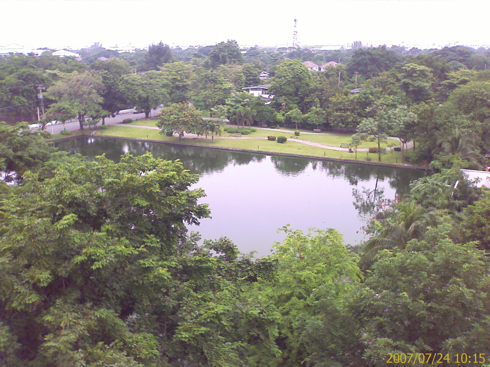
Sai Mai
Introduction
Sai Mai is one of the districts of Bangkok, Thailand, positioned at the northern edge of the city. It borders Lam Luk Ka district in Pathum Thani province, and within Bangkok it is bounded by Khlong Sam Wa, Bang Khen and Don Mueang.
Getting around
Sai Mai sits at the outer end of Bangkok's transport network, so plan your journeys around a few main corridors rather than expecting to walk everywhere. The BTS Skytrain Sukhumvit line is your anchor: three stations serve the district — Bhumibol Adulyadej Hospital, Royal Thai Air Force Museum, and Yaek Kor Por Aor — and all of them sit on Phahonyothin Road, which forms the district's western border with Don Mueang district. Because the stations are strung along one road rather than spread across the district, where you stay relative to Phahonyothin Road will shape how easily you get around. From these stations you can connect onward into the wider BTS and metro network. As elsewhere on the Bangkok rail system, you buy a ticket or use a stored-value pass at the station rather than paying on board, with fares calculated by journey and both machines and staffed counters available.
Buses are the workhorse of Sai Mai, reaching sois and roads the Skytrain does not. Routes serving the district include 1060 (Ram Intra and Wat Nong Yai via Chatu Chot Road, stopping closest to the Jaturot 11 area), 1527 (Ao Ngoen Market and Ram Intra), and 1009 (Rattanakosinsompoch, Wongsakon Market, Watchara Phon and Lumlukka Road). Stops are typically simple roadside stops rather than large terminals, and they can be a long walk apart — near Jaturot 11 the nearest stop is on Soi Chatu Chot 12 on the opposite side of the road, with Ao Ngoen, Soi Chan Chaemsai and Visual Stop further away — so check which stop is closest to your destination before setting out. Service hours vary by route; buses on route 1009 in the area run from roughly early morning until late evening, so late-night bus travel is limited and you should have a backup plan. Songthaews and minibuses also operate in Bangkok for short hops, though they are less predictable for a first-time visitor than a numbered bus route. Taxis and ride-hailing apps are the most flexible option, particularly for journeys beginning or ending away from Phahonyothin Road and the Skytrain line, and they remove the need to identify the correct bus number or stop. Walking works for short local trips to a nearby shop, market or bus stop, but treat longer walks as impractical — the next nearest stops from one location near Jaturot 11 were around twenty to thirty minutes away on foot, a long way in Bangkok's heat. If you are arriving by air, Don Mueang district borders Sai Mai directly to the west, making it the closer of the two airports; from either airport you can take an airport rail link and continue via the Sukhumvit line to one of the district's three stations, or take a taxi or ride-hailing car if you would rather not change modes — usually the better choice late at night when bus services have stopped.
Three days in Sai Mai
Day one: Base yourself in Sai Mai, a district on the northern edge of Bangkok in Thailand, and get your bearings along Phahonyothin Road, the main artery running through the area. Use the BTS Skytrain Sukhumvit line to reach Yaek Kor Por Aor, then switch to local transport such as buses, songthaews or taxis to cover the sois. Wat Nong Yai and the Museum are worth seeking out, and Ao Ngoen Market and Wongsakon Market give you a sense of daily life in the district. Walking the side streets off Chatu Chot Road and Soi Chatu Chot is a good way to settle into the pace here.
Day two: Push north and east into the neighbouring areas. Lam Luk Ka and Pathum Thani lie beyond the district boundary, reachable via Lumlukka Road, while Khlong Sam Wa and Bang Khen sit to the south and west. Don Mueang is nearby, as are Bhumibol Adulyadej Hospital and the Royal Thai Air Force installations, all of which shape the character of this part of the city. Stops along the way include Jaturot, Watchara Phon, Ao Ngoen, Soi Chan Chaemsai and the Visual Stop, so plan your route around the service you choose, whether BTS, bus, songthaew or taxi.
Day three: Slow down and stay local. Ram Intra and Rattanakosinsompoch are useful reference points as you move around, and the markets remain the easiest places to spend a relaxed morning. Because the district sits at the end of the Skytrain line, routes back into central Bangkok are straightforward when you are ready to leave. From Sai Mai you can head onward by BTS, bus or taxi, with the airport and the surrounding provinces of Pathum Thani within easy reach.