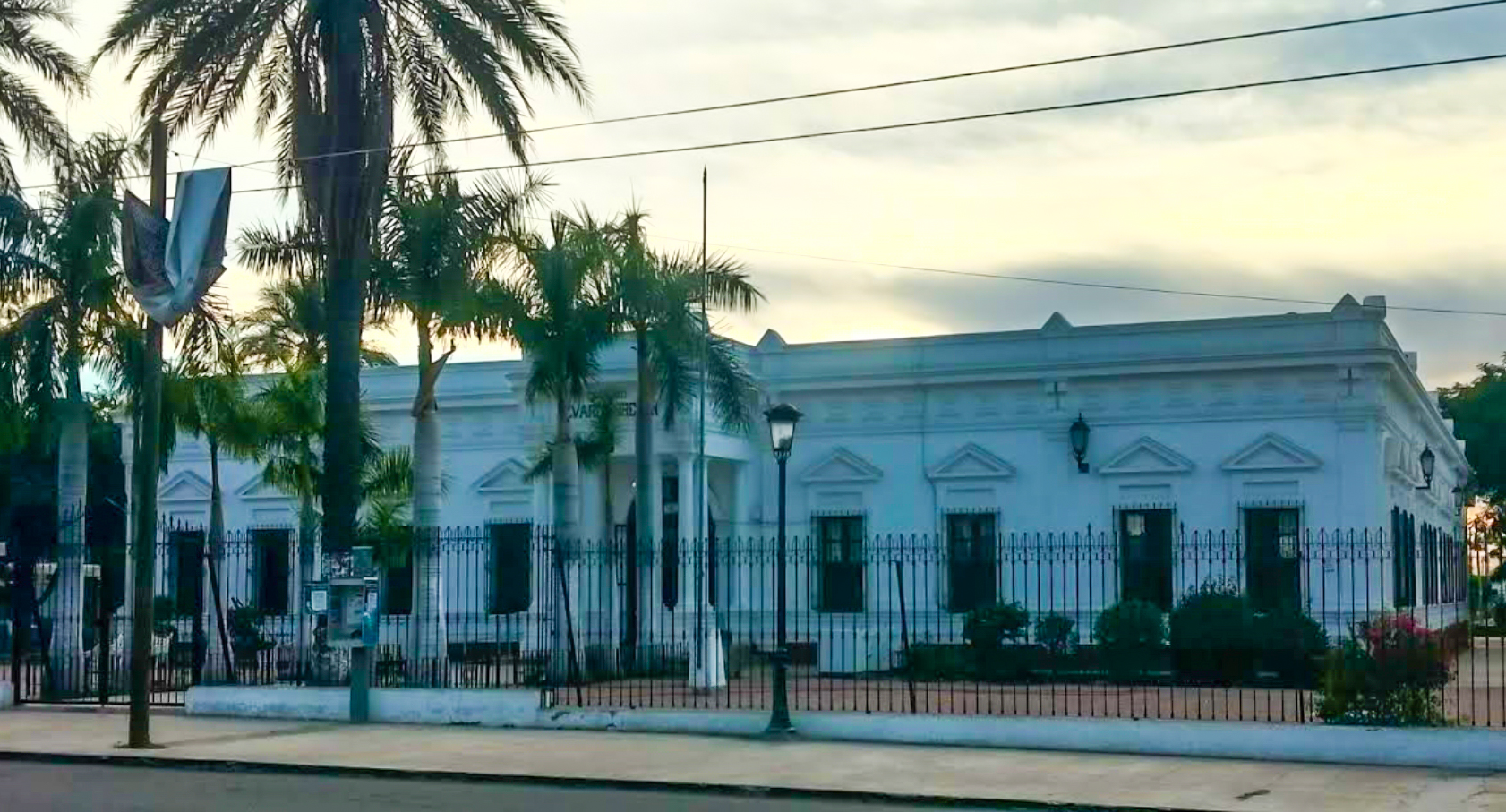
Navojoa
Introduction
Navojoa sits in the Mayo River Valley in the southern part of Sonora, a northern Mexican state, and serves as the administrative seat of its municipality. It is one of the larger cities in Sonora, so you'll find the services and bustle of a regional centre rather than a small outpost.
Use the city as a base for exploring the surrounding valley, and expect a working Mexican city with an administrative role at its heart.
Getting around
Within Navojoa you can get around on the city buses known as SUBA, which have been upgraded to air-conditioned models and run every few minutes. Fares are low and you generally pay on board, making them a simple and cheap way to cross town. Streets in the central areas are almost all paved, so walking is feasible, and most hotels are clustered off Pesqueira Street between Tecnológico Avenue and Centenario Boulevard, within reasonable walking distance of central services. Taxis are a convenient fallback for short trips around the center when buses do not suit your route, and ride-hailing apps may be available, though you should confirm current options locally on arrival. Horse-drawn carts are still used by residents of small surrounding communities and are numerous enough that a parking lot is reserved for them on Hidalgo Avenue near the City Market.
Navojoa has no passenger rail, metro, or tram service; the railroad through the area is freight-only, so do not plan on trains. For travel beyond the city, several bus companies offer low, mid, and luxury class services, with Autobuses Elite, Omnibus de Mexico, and Tufesa Mexico among the operators. Although a bus station was built in the north of the city, it is not used, so head for the small stations in the city center instead. Regional connections include Ciudad Obregón, Los Mochis, and Culiacán, while longer routes reach Mexico City and international destinations such as Tucson, Phoenix, and Los Angeles. Buy tickets through the operators or booking platforms, and verify schedules and prices directly with the operator, since availability changes with season. Mexican Federal Highway 15 is the main road, running four lanes north to Ciudad Obregón, Guaymas, Hermosillo, Nogales, and the United States, and south toward Sinaloa, Nayarit, Jalisco, Michoacán, the State of Mexico, and Mexico City; the Periférico serves as a semi-beltway and truck route around some southern and western neighborhoods. The city's own airport is a local field next to the industrial sector suitable for light private planes and handles no commercial airline service; the nearest commercial airport is Ciudad Obregón International (CEN) to the north, reached by long-distance bus or taxi/transfer along the Highway 15 corridor, with Hermosillo (HMO) and, to a lesser extent, Los Mochis (LMM) as alternates. Navojoa also works as a hub for trips to the colonial town of Álamos, inland toward the Sierra Madre, and to Gulf of California beaches such as Las Bocas and Huatabampito, where buses and taxis are the usual options and arranging transport in advance is advisable.
When to go
Navojoa has a dry, semi-arid climate, so you can expect scarce rain for most of the year. Winters are warm rather than cold, with dry conditions and mild temperatures for the season — comfortable weather for exploring the city and its neighbourhoods on foot.
Summers are hot, and this is when rain is most likely, arriving with the summer monsoon. Precipitation overall remains scarce even then, but you should be prepared for heat and the chance of monsoon showers if you visit during this period.
Three days in Navojoa
Day one: Start in Navojoa itself, getting your bearings along the main streets. Pesqueira Street, Tecnológico Avenue, Centenario Boulevard and Hidalgo Avenue are the arteries to know, and the City Market is the place to begin for a sense of the local everyday. Use the city as your base for the Mayo River Valley, which surrounds Navojoa in Sonora and gives the area its agricultural character. For getting around within Navojoa, SUBA buses run the streets and fares are low, while taxis and horse-drawn transport are the other ways to cover ground.
- City Market
- Pesqueira Street
- Tecnológico Avenue
- Centenario Boulevard
- Hidalgo Avenue
Day two: Head out into the Mayo River Valley, the farmland and settlements that define this part of Sonora. The valley is the reason Navojoa exists as a crossroads, and a day spent moving through it gives you the regional context that the city alone cannot. Return to Navojoa in the evening for Mexican food in the centre.
Day three: Use Navojoa's transport links to reach the wider region. Autobuses Elite, Omnibus and Tufesa Mexico connect the city with Ciudad Obregón, Los Mochis and Culiacán, and onward to Mexico City; the Mexican Federal Highway runs north through Guaymas, Hermosillo and Nogales toward the United States, with Tucson, Phoenix and Los Angeles as the northern destinations. Southbound routes reach Sinaloa, Nayarit and Jalisco. Buy your ticket in advance and plan the day around your departure.
- Autobuses Elite
- Omnibus
- Tufesa Mexico
- Mexican Federal Highway