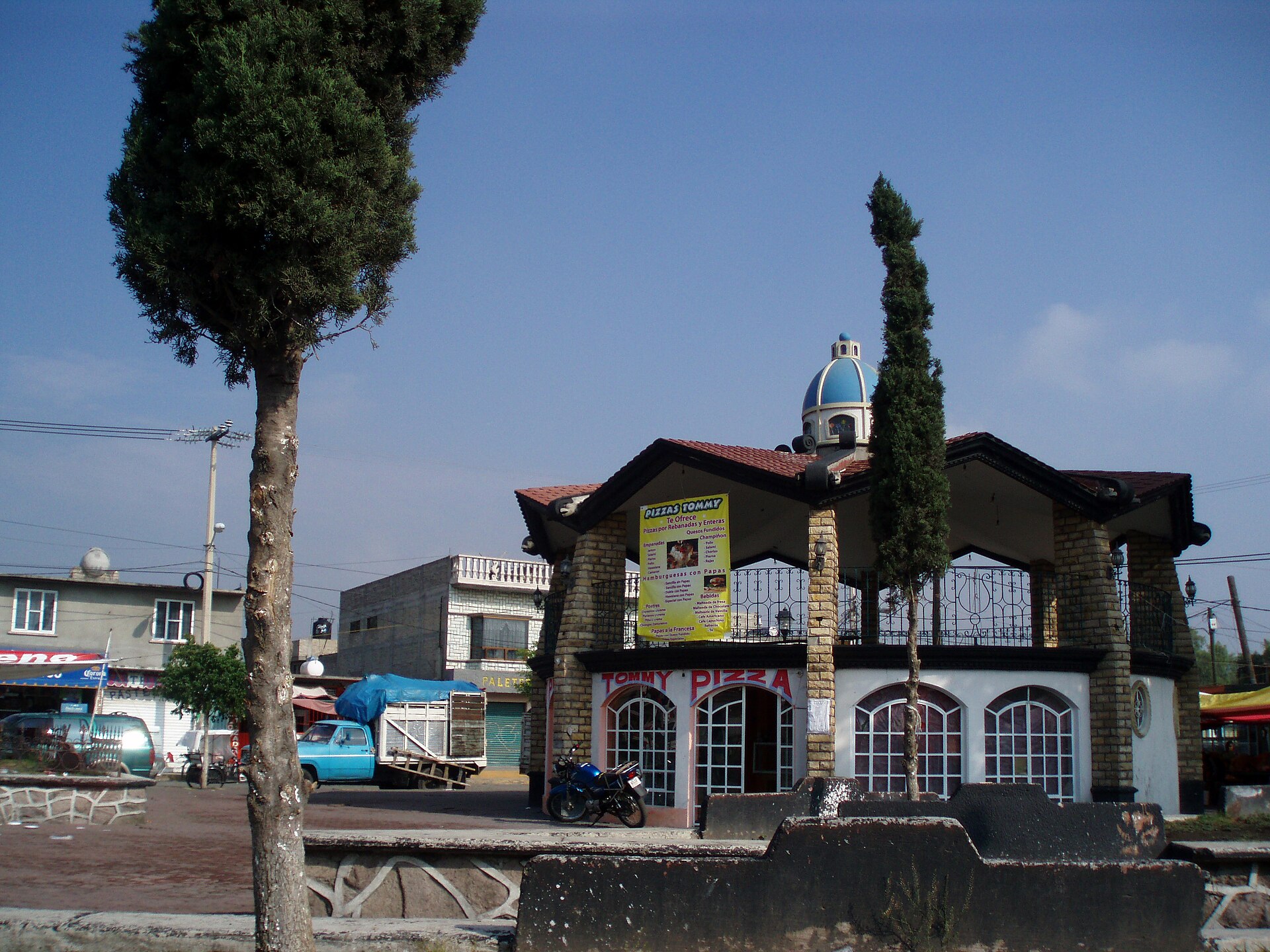
San Pablo de las Salinas
Introduction
San Pablo de las Salinas is a colonia of Tultitlán Municipality in the State of Mexico, set near the northern tip of Mexico City. It forms part of the Mexico City metropolitan area, and it is an exclave of its municipality — a locality that is not itself a municipal seat.
Getting around
Getting around San Pablo de las Salinas is mainly a matter of buses, trains and taxis. The colonia sits on the metropolitan fringe, so a typical trip means a short local bus or taxi ride to a rail connection and then onward travel into Mexico City, rather than circulating only within the neighbourhood. Local buses are the most direct way to move within and immediately around San Pablo; Route 68 serves the area with branches labelled "Ampl. Gabriel Hernández" and "Las Torres." The nearest stop is on Boulevard Violetas, about a four-minute walk from the Auditorio San Pablo de las Salinas, and a second stop on Avenida Paseo de La Constitución is roughly a seventeen-minute walk away. For the suburban rail, the nearest station is Cajiga on Line 2 toward Buenavista, which links the area to the capital's transport network; from Buenavista you can transfer to Mexico City Metro lines and other services. Trains run from early morning until late at night, so daytime and evening trips are feasible, but do not count on service in the small hours.
Taxis and ride-hailing are the most flexible option for short trips within San Pablo and for reaching the train station or bus stops with luggage, and they are useful for late-night travel once bus and train service has ended. Because the neighbourhood is spread out and Cajiga station is a considerable walk from the central area — roughly forty-eight minutes on foot — a taxi or ride-hailing car is often the sensible way to cover the last mile. Walking works for short errands near your accommodation and for reaching nearby bus stops, with landmarks such as the Iglesia or Parroquia San Pedro y San Pablo, the Centro de Salud San Pablo de las Salinas, a Chedraui supermarket, Calle Benito Juárez and Eje 3 Av. H. Ayuntamiento close at hand, but treat it as a way to handle local trips rather than your main way of getting across the area. Fares for local bus and rail services are not always posted at stops, so use the Moovit app to check fares and plan routes; a tianguis held nearby on Thursdays can affect traffic and crowding on those days.
Three days in San Pablo de las Salinas
Day one: Base yourself in San Pablo and get your bearings along Calle Benito Juárez, the main commercial spine where the Centro concentrates its shops and services. Stock up at Chedraui, then walk to the Auditorio San Pablo and the Iglesia Parroquia San Pedro, the parish church that anchors the centre. For health needs, the Centro de Salud San Pablo is nearby. In the evening, take a taxi along Boulevard Violetas to see how the town spreads toward the Salinas side.
Day two: Head out to the wider municipality. Tultitlán Municipality sits within the State of Mexico, and the built-up area runs into neighbouring Gabriel Hernández and Las Torres, so a ride along Avenida Paseo or the Eje is a good way to read the local geography. Use the local bus network, which connects the town to the Mexico City Metro at Buenavista, and note that fares are low; Moovit is useful for route planning. If you time your visit for a Thursday, you will catch the weekly market activity that gives the centre a different rhythm.
Day three: Push toward Mexico City. The Buenavista rail and Metro interchange is the practical gateway, with trains and taxis covering the last stretch. Because walking between the scattered barrios is slow, plan your day around a couple of stops rather than trying to cover everything. Return to San Pablo in the evening for a quiet meal near La Constitución or Ampliación, and use the Route and Line information you gathered earlier to keep the trip simple.