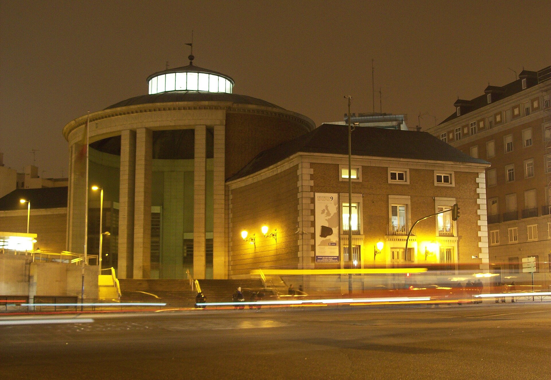
Moncloa-Aravaca
Introduction
Moncloa-Aravaca lies to the northwest of Madrid's city centre, a district that stretches across both banks of the Manzanares. Its character shifts from one neighbourhood to the next: Argüelles and Valdezarza sit closer to the central city, Ciudad Universitaria gives the district its academic flavour, and Casa de Campo spreads out as open ground on the river's western side. Further out, Aravaca, El Plantío and Valdemarín form the district's more residential edge.
Because it takes in so many distinct neighbourhoods, Moncloa-Aravaca rewards exploring on foot and by moving between areas rather than treating it as a single stop. Whether you are drawn by the university quarter, the green expanse of Casa de Campo or the quieter streets on the district's outskirts, the range of places within its boundaries is what defines a visit here.
Getting around
How you get around Moncloa-Aravaca depends on which part of the district you're in. The eastern edge, around Argüelles and Ciudad Universitaria, feels central and is easy to cover on foot, connecting naturally to the rest of Madrid. The western and northern neighbourhoods — Aravaca, Valdemarín and El Plantío — are more suburban and spread out, so walking is best combined with a bus, Cercanías or a taxi. Keep the Manzanares in mind too: the river acts as a natural boundary within parts of the district, so plan your crossings rather than assuming you can walk straight across.
Public transport is the backbone of visitor travel here, and several modes overlap. Metro Line 3 stops at Moncloa, the circular Line 6 serves Ciudad Universitaria, Argüelles and Vicente Aleixandre among others, and Line 7 reaches Valdezarza and the northern parts — handy for moving between districts without passing through the very centre. Moncloa station is the key interchange where Metro lines meet bus services, so treat it as your mental anchor for planning. The Cercanías C-7 and C-10 lines stop at Aravaca and connect onward to Madrid Atocha and regional destinations, often the most direct way into the centre if you're staying in the west. EMT city buses fill in the gaps the rail network leaves, particularly for pockets away from stations and short cross-town hops. Rather than buying single tickets per operator, load a rechargeable card at station machines — it covers Metro, EMT buses and Cercanías under Madrid's integrated fare system. Taxis and ride-hailing are the quickest door-to-door choice for late-night returns, luggage, or reaching the suburban neighbourhoods, at noticeably higher cost.
Three days in Moncloa-Aravaca
Day one: Start in Moncloa, the neighbourhood that gives this district its name, and use the Metro Line and Cercanías connections to orient yourself before wandering into Argüelles and Valdezarza. Ciudad Universitaria is the natural focus of the day, and its scale rewards a slow walk rather than a rushed circuit. Keep an eye on how the Metro and the Cercanías link these neighbourhoods, since that shapes how much you can comfortably cover.
- Moncloa as your base for the day
- Argüelles and Valdezarza on foot
- Ciudad Universitaria as the main stop
Day two: Head west to Aravaca, El Plantío and Valdemarín, where the pace is quieter and the streets more residential. Because these neighbourhoods sit further from the centre, the Cercanías is often the simplest way to reach them, and taxis are useful for the last stretch. Rather than trying to see everything, pick one area and let the day unfold there.
- Aravaca, El Plantío and Valdemarín
- Cercanías for the longer hops
- Taxis for short connections
Day three: Turn toward the Manzanares and the green expanse of Casa de Campo, which borders this district and offers a change of pace from the streets. Whether you walk or take the Metro, keep the river and the park as your landmarks. Public transport links back toward Madrid Atocha and the wider city make it easy to end the day wherever you choose.
- Casa de Campo and the Manzanares
- Metro and EMT for getting around
- Madrid Atocha as a onward connection