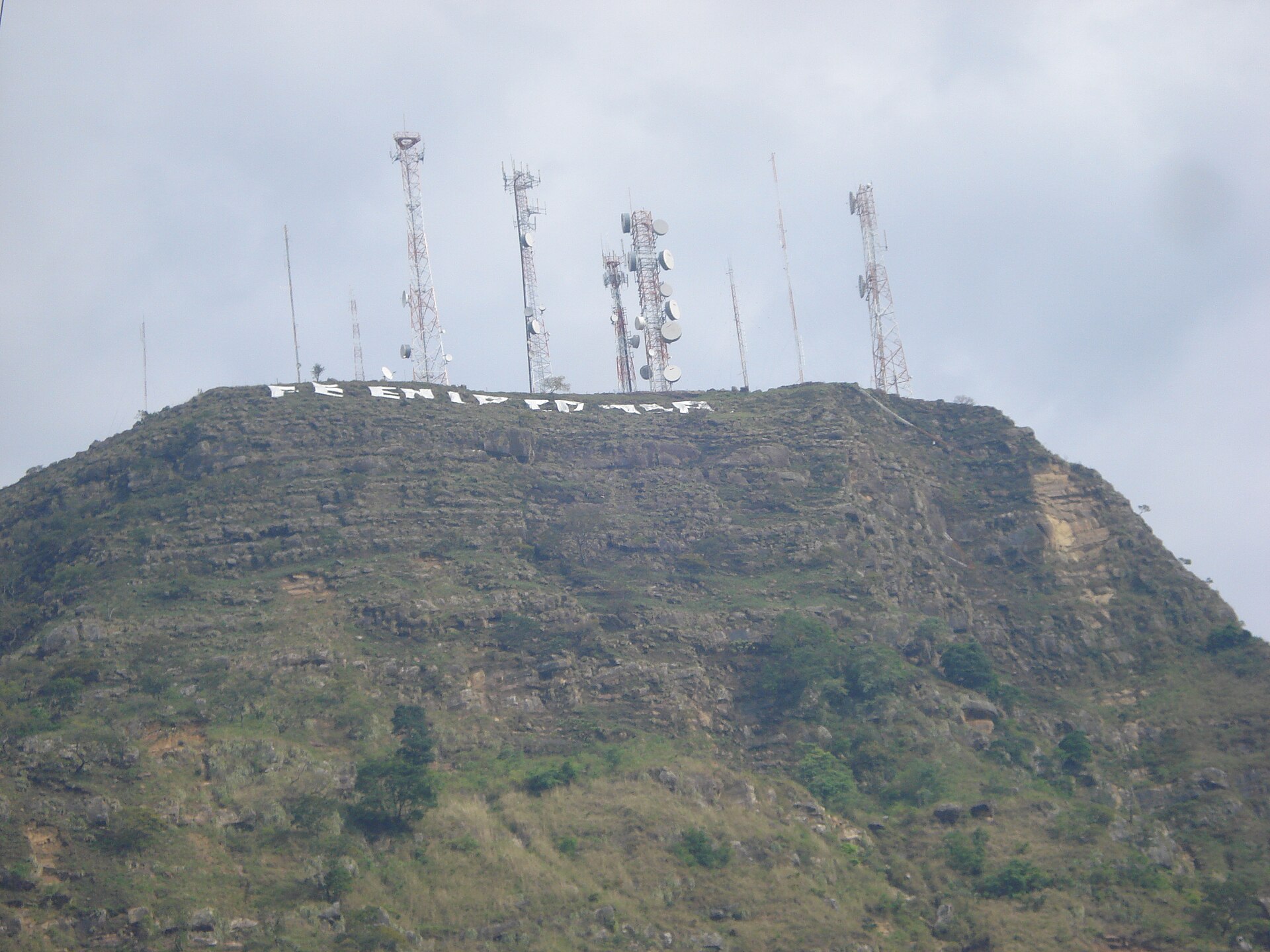
Yopal
Introduction
Yopal is the capital of the Casanare department in Colombia, and the second city of the Orinoquía region after Villavicencio. It is a municipality with a role in the life of the surrounding plains, and it serves as a natural starting point for travellers heading into the Orinoquía.
Before you go
Yopal sits where the Eastern Range of the Colombian Andes meets the plains known as the llanos, and takes its name from the indigenous yopo tree. Plan for heat: the climate here is considerably hotter than Andean cities such as Bogotá or Medellín, closer to that of Caribbean Barranquilla and Cartagena but with less humidity.
Yopal is a safe city, and normal precautions are enough. Pack light, breathable clothing for the heat and you will be comfortable exploring the urban area.
Getting there
El Alcaraván Airport (EYP) serves Yopal with routes to and from Bogotá and Bucaramanga. There are no trains in Yopal, and you cannot arrive by boat.
By road, Yopal is connected to Bogotá by three different highways: one passes through Villarcencio, one through Sogamoso, and one through the Andes more directly via Guateque. The highway through Villavicencio was undergoing maintenance as of May 2022, while the route through Sogamoso is in the best condition. Highways also link Yopal to Bucaramanga and Cúcuta. The city's bus terminal has regular departures to most major cities, including Bogotá, Bucaramanga, and Villavicencio; the bus line Libertadores is reliable and has frequent departures.
Getting around
Yopal is compact and very walkable, so many of the places you are likely to want to reach can be covered on foot. Plan your walks around the weather: the city has a tropical monsoon climate with a short, distinct dry season from December to March and a long wet season across the rest of the year, so rain is frequent and carrying protection is sensible. The city sits at a low elevation, so heat rather than altitude is the main thing to prepare for.
- On foot: The easiest way to get around the centre, provided you dodge the rain.
- Taxis: Cheap and plentiful, and an easy fallback for trips that are too far or too wet to walk. There is no Uber or Lyft in the city, so plan on conventional taxis instead of ride-hailing apps.
- Buses: The other main way of getting around, alongside taxis, and likewise cheap and plentiful.
- Rail: There are no trains, and no metro or tram network, so do not plan on any form of rail-based transport.
- Long-distance coaches: The bus terminal has regular departures for most major cities, including Bogotá, Bucaramanga and Villavicencio; the bus line Libertadores is described as reliable with frequent departures.
- By air: El Alcaraván Airport (EYP) offers routes to and from Bogotá and Bucaramanga. From the airport, taxis and buses are the local options, and the centre is walkable once you are there.
- By road: Yopal is connected to Bogotá by three highways — via Villavicencio, via Sogamoso, and more directly through the Andes via Guateque. The Sogamoso route is in the best condition, while the Villavicencio route has been undergoing maintenance. Highways also link the city to Bucaramanga and Cúcuta.
- By boat: Not an option for reaching Yopal.
Where to stay
That address places it along the Sirivana road, a short drive from the centre rather than in the middle of town, so plan on arriving by vehicle or taxi.
Food & drink
For a taste of the region, seek out local dishes such as tungo, rellena, hayacas, sancocho de gallina, picadas and mamona. These are the flavours to build your meals around while you're in the city. For an evening that combines eating with the area's culture, head to the GHL Hotel and Restaurant, where you can grab a bite and listen to traditional Llanera music from the region. On Thursday evenings the venue hosts live music and dancing, making it a lively spot to pair dinner with a taste of local tradition.What to see and do
In Yopal's centre, the Central Park is a natural starting point, with cafes nearby and decorations that appear during the Christmas season. Beside it stands a historical museum with photographs that explain how the city got its name, and the adjacent Ramon Nonato Park is easy to combine with the same stroll. For wildlife, walk to Parque La Iguana, where a path leads down to the River Cravo Sur and offers good chances of spotting tropical birds and iguanas, including a statue of one larger than a person. Hiking is another way to see the surroundings: the climb to the Statue of the Virgen takes about an hour and rewards you with views over Yopal and a soursop juice at the top, while an alternative path toward the statue crosses the Andes and gives views of both mountains and plains on a roughly four-hour round trip. In the rain season, head to Garcero del Llano and follow it with arepas con queso and orange juice at Doña Barbara. A few hours outside the city, the Reserva Natural El Encanto de Guanapalo runs wildlife safaris where capybaras, anteaters, alligators and birds share the same ground; arrange transport and lodging with the reserve in advance through its website.When to go
Yopal has a tropical monsoon climate, and the timing of your visit makes a real difference to how much you can do outdoors. A short but distinct dry season runs from December through March, and this is the driest stretch of the year, making it the most comfortable time for travel and outdoor activity in and around the city.
- December to March: the dry season — the best window for getting out and about.
- April to November: the wet season — frequent rain and muddy conditions over an extended period.
The wet season covers the remaining eight months of the year, so if you travel outside the December-to-March window, plan for frequent rain and muddy conditions. This long rainy period dominates the annual climate, so build flexibility into your plans rather than expecting reliable dry days.
Three days in Yopal
Day one: Arrive at El Alcaraván Airport (EYP) and settle into Yopal, the capital of Casanare. Use the day to get your bearings in the city before heading out into the surrounding plains of the Orinoquía. Taxis are cheap, and Uber and Lyft both operate, so getting around is straightforward. If you are coming overland, buses run from Villavicencio, Sogamoso, Guateque and Bogotá, though the long routes through the Eastern Range of the Colombian Andes make for a slow journey.
Day two: Head out into the Casanare countryside, where the plains meet the Andean foothills. The dry season runs roughly from December to March, when the heat is intense and the roads are at their best; the wet season brings heavy rain and muddy tracks. Pack for warm, humid conditions whatever the month. Plan your transport in advance, as services thin out away from Yopal.
Day three: Return to Yopal and use it as a base for the wider region. Highways connect the city toward Villavicencio, Bucaramanga and Cúcuta, and the Libertadores route links the Andean interior with the plains. If you are continuing on, Medellín, Bogotá and the Caribbean cities of Barranquilla and Cartagena are all reachable by air, though most journeys involve a change. Allow extra time for long overland legs.