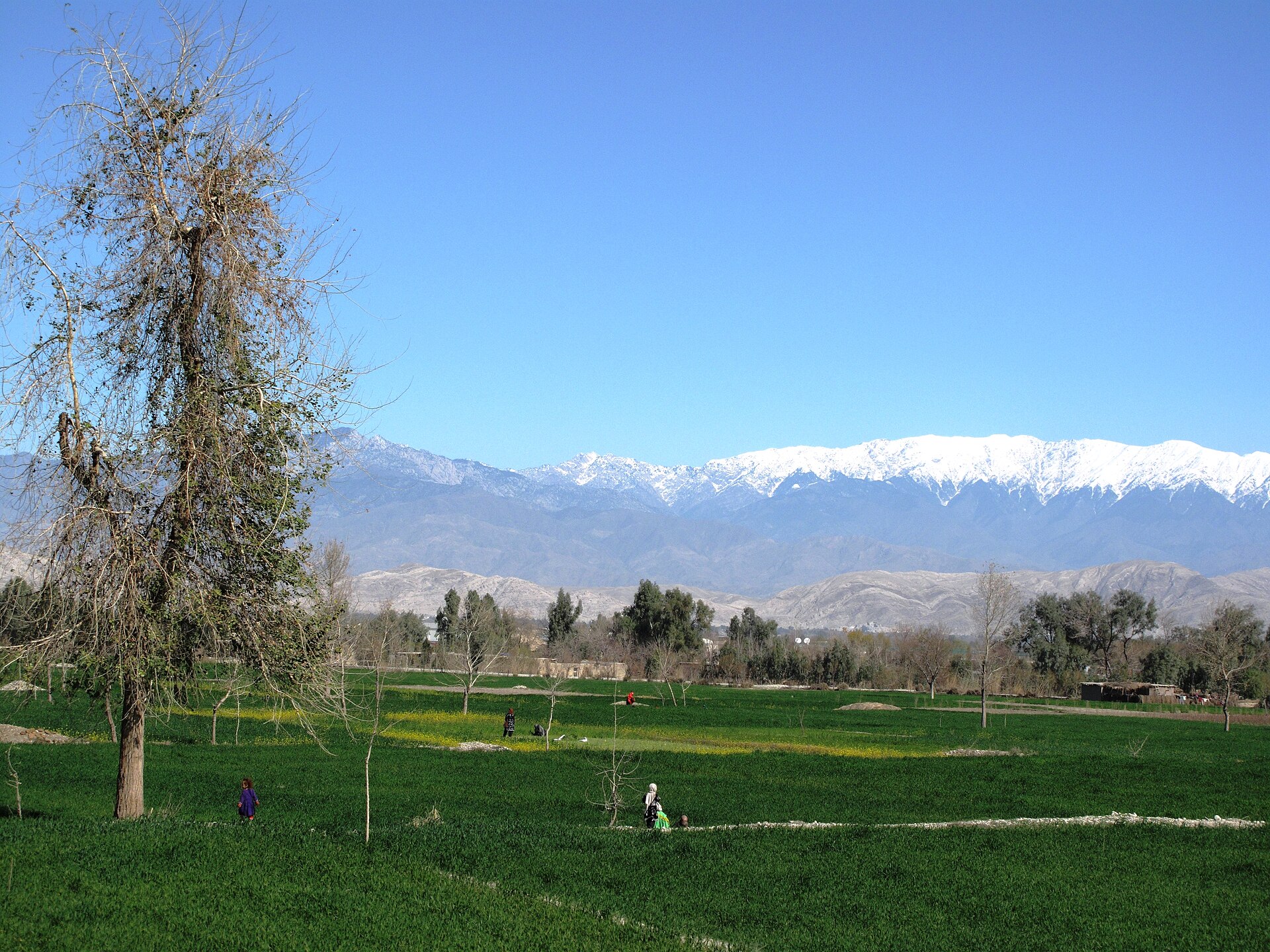
Jalalabad
Introduction
Jalalabad is a city in eastern Afghanistan and the capital of Nangarhar Province. It has also been known as Tarunshahr, and historically as Nagarahara or Adinapur.
Before you go
Jalalabad sits in eastern Afghanistan as the capital of Nangarhar Province, close to where the Kabul and Kunar rivers meet and a short distance from the Khyber Pass. Highways link it with Kabul to the west and with Peshawar in Pakistan to the east, each roughly the same distance away, so the city works as a stop on a route between the two.
Summers here are extremely hot, so plan around the heat if you visit in the warmer months. The city is known for its orange trees and palm trees. Before travelling, read the security warning on the Afghanistan article, and let that guidance shape whether and how you go.
Getting there
Jalalabad sits on the major highway linking Kabul to Pakistan, a route heavily used by trucks supplying Kabul with food and other goods. The main highway was reconstructed in 2006 and is the busiest in Afghanistan. A daily bus service connects Jalalabad with Peshawar.
In theory you can travel from Kabul to Jalalabad in about 1 hour 45 minutes, but be aware that traffic accidents are common on this highway, making it one of the most dangerous roads in the world.
Getting around
Jalalabad has no rail, metro or tram network, so all movement is by road. There is also no documented city bus system you can rely on for getting around within the city; the public transport that is documented is intercity, with a daily bus service linking Jalalabad and Peshawar. For crossing the city itself, expect to walk or use taxis and private vehicles. No taxi fleet, ride-hailing app, metered fare or ticket system is documented, so arrange transport locally and confirm fares in advance.
Much of Jalalabad is laid out on a grid, and the central districts are the densest and most compact, which makes the core — its bazaars, business centres, parks, hotels and restaurants — relatively straightforward to navigate on foot. The city has one of the hottest climates in Afghanistan, with summer temperatures reaching extreme highs, so walk in the cooler parts of the day; the lower-elevation northern and southwestern areas catch cooling winds in summer and can be more comfortable on foot. Jalalabad Airport sits in the southeastern part of the city rather than far outside it, so the transfer into the centre is a short road journey. No airport bus, rail link or official shuttle is documented, and the airport has historically also served as a military base, so facilities and access for civilian travellers may differ from a standard commercial airport — arrange a taxi or private car in advance.
Where to stay
Accommodation in Jalalabad is limited, and the choices that exist tend to be basic. The government-run Spingar Hotel sits on the eastern side of the city and offers simple facilities; other guest houses in town may serve you better.
- Spinghar Hotel — a historic hotel set in the city's largest park. It is clean and quite safe, though the amenities are quite basic.
- Taj Mahal Guesthouse — a warm, welcoming guesthouse on the edge of the city. It offers free Wi-Fi, a swimming pool in summer, and is home to the Tikibar, the only bar in Eastern Afghanistan when alcohol is in supply. Meals and laundry service are included.
Food & drink
Jalalabad's table is shaped by what the surrounding countryside produces. Paneer is the area's signature product and is well known across Afghanistan, so expect it to feature prominently. The city's many olive gardens supply the markets with high-quality olives, and the olive oil pressed from them is used in everyday cooking and is a point of local pride.
- Try the special pakoras on Hindu Street.
- Look for local olives and olive oil, used in common dishes.
- For something fresh, the juice shops at Mokhaberat Chowk serve juices suited to each season.
What to see and do
Jalalabad's greenery and water make it one of Afghanistan's most attractive cities, and much of what you'll want to see sits outdoors. South of the city, the Hada Museum holds exhibits from the pre-Islam period, while the Shahi Qasar served as the winter palace of the former king Zahir Shah. You can also visit the mausoleums of King Amanullah Khan, Khan Abdul Ghaffar Khan and Mohammad Gul Khan Momand, and stroll the grounds of Ameer Shaheed Garden, Youth Park (Zwanano Park) and Nangarhar University. The main historical bridge is worth a look as the only connection to three other provinces, and a large reservoir lies near Sarobi on the road to Kabul.
Jalalabad is the capital of Afghan cricket, with many national players drawn from the surrounding areas, and construction has begun nearby on a cricket stadium intended to host domestic competition and attract international teams. Further out, Ghazi Amanullah Khan City is rising about 15 km away, named after King Amanullah Khan. For a day out, head to Darwanta Dam, known for its fresh fish, green surroundings and fresh air, with a park for women and youth, hotels and restaurants serving all types of dishes. You can also go fishing along the riverside or find a spot to swim.
When to go
Jalalabad has a hot desert climate, and it is among the hottest places in Afghanistan. Rain falls only in winter and spring, so if you want to avoid the heat, plan around those seasons. Winter is moderate by Afghan standards and frosts are uncommon, which is why rulers and wealthy families historically came here to escape the freezing cold of Kabul. Spring brings the rest of the year's rain and milder conditions than the summer that follows.
Summer is extremely hot, and the relative humidity is the highest of any Afghan city at that time of year. Winds from the north and west do bring some relief to the lower-elevation northern and southwestern parts of the city, but you should still expect intense heat if you visit in summer.
Three days in Jalalabad
Day one: Begin in Jalalabad, the city at the heart of Nangarhar Province in eastern Afghanistan. Its older names - Adinapur, Nagarahara and Tarunshahr - point to a long history, and the city sits on the routes toward Kabul, the Kunar valley, the Khyber Pass and Peshawar in Pakistan. Settle in first: accommodation in Jalalabad includes the Spingar Hotel, the Spinghar Hotel and the Taj Mahal Guesthouse, and Wi Fi is available in places such as Tikibar. Meals in eastern Afghanistan often centre on paneer, so try it early.
Day two: Walk Hindu Street and look around Mokhaberat Chowk, the crossroads that gives you a feel for the everyday rhythm of the city. South of the centre, visit the Hada Museum, where the region's Buddhist and later Islamic past is on display. Summers here are hot, so plan your walking for the cooler hours and take it slowly.
Day three: Use Jalalabad as a base for the surrounding country. Highways run from the city toward Kabul, the Kunar and the Khyber Pass, and Jalalabad Airport connects it to the wider region. Before you leave, look for the Shahi Qasar and take in the view over the plain. Much of what makes Jalalabad memorable is in its streets and its food rather than in any single monument.