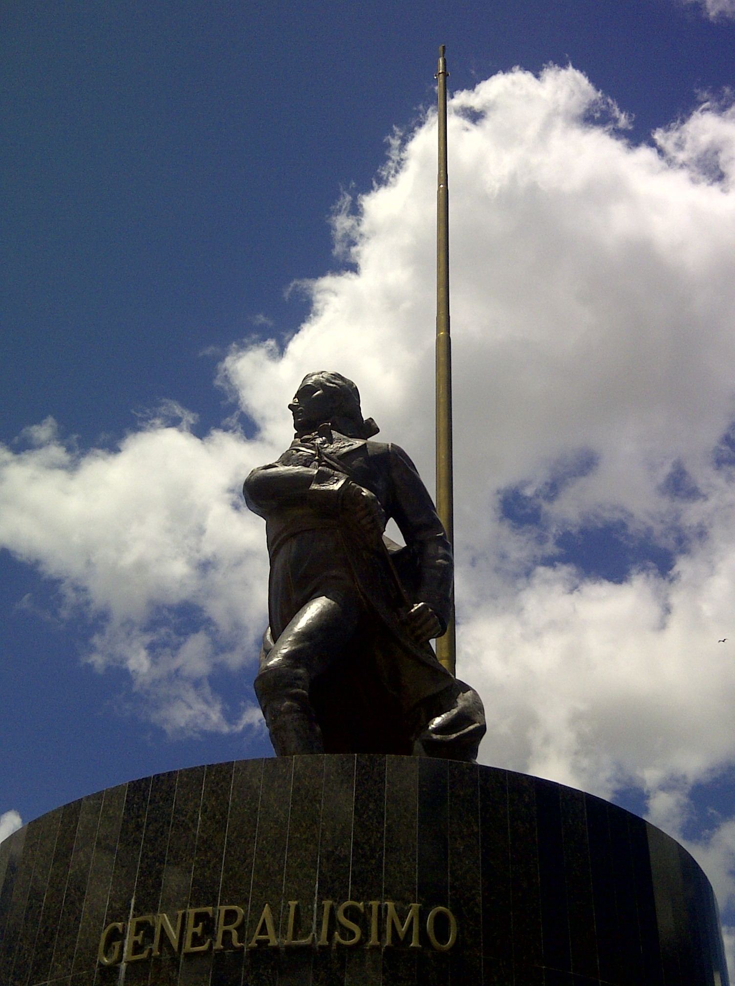
La Vela de Coro
Venezuela
La Vela de Coro: facts
At a glance
- Country: Venezuela
- Region: Falcón
- Administrative status: seat of a second-order administrative division (GeoNames code PPLA2)
- Population: approximately 34,680
- Coordinates: 11.4608° N, 69.5657° W
- Time zone: America/Caracas (UTC-04:00)
- Currency: Bolivar Soberano (VES)
- Distance to the capital, Caracas: 313 km (194 mi), straight line
Getting there
- José Leonardo Chirinos Airport (CZE): 14 km (8 mi), straight line
- Josefa Camejo International Airport (LSP): 73 km (45 mi), straight line
- Hato International Airport (CUR, Curacao): 104 km (65 mi), straight line
Nearby
- Coro: 14 km (8 mi)
- Puerto Cumarebo: 23 km (14 mi)
- Tocopero: 34 km (21 mi)
- Cabure: 35 km (22 mi)
- San Luis: 40 km (25 mi)
- Nearest place with over 100,000 inhabitants: Coro, 14 km (8 mi)
Sources
- La Vela de Coro
Map