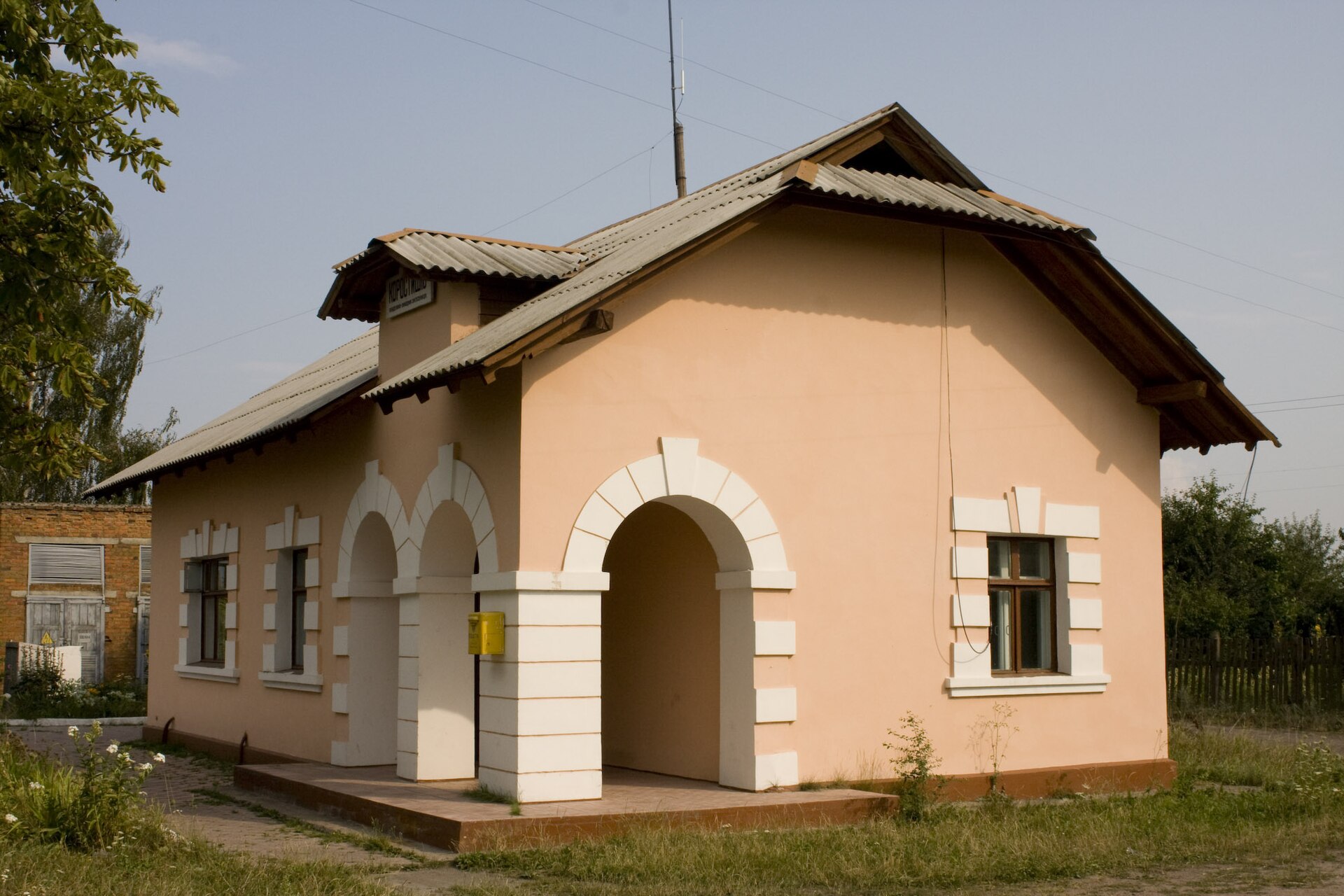
Korostyshiv
Ukraine
Korostyshiv: facts
At a glance
- Country: Ukraine
- Region: Zhytomyr Oblast
- Administrative status: seat of a third-order administrative division (GeoNames code PPLA3)
- Population: approximately 24,129
- Coordinates: 50.3169° N, 29.0577° E
- Time zone: Europe/Kyiv (UTC+02:00 standard, UTC+03:00 daylight saving time)
- Currency: Hryvnia (UAH)
- Distance to the capital, Kyiv: 105 km (65 mi), straight line
Getting there
- Rivne International Airport (RWN): 209 km (130 mi), straight line
- Gomel Airport (GME, Belarus): 281 km (174 mi), straight line
Nearby
- Kharytonivka: 4.5 km (2.8 mi)
- Starosiltsi: 11 km (7 mi)
- Vysoke: 20 km (13 mi)
- Radomyshl: 23 km (15 mi)
- Stanyshivka: 26 km (16 mi)
- Nearest place with over 100,000 inhabitants: Korolyov, 27 km (17 mi)
Sources
- Korostyshiv
Map