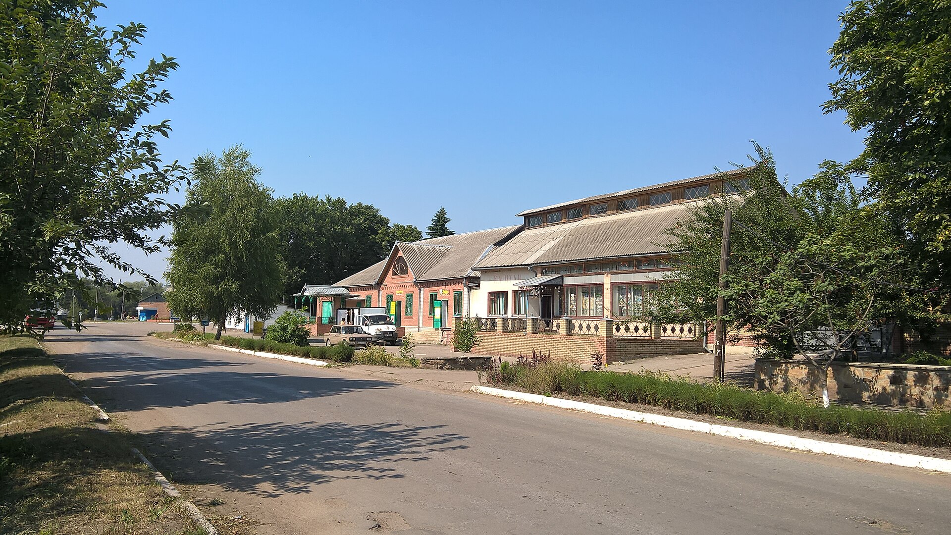
Nyzhnia Duvanka
Ukraine
Nyzhnia Duvanka: facts
At a glance
- Country: Ukraine
- Region: Luhansk
- Administrative status: seat of a third-order administrative division (GeoNames code PPLA3)
- Population: approximately 2,353
- Coordinates: 49.5856° N, 38.1723° E
- Time zone: Europe/Kyiv (UTC+02:00 standard, UTC+03:00 daylight saving time)
- Currency: Hryvnia (UAH)
- Distance to the capital, Kyiv: 555 km (345 mi), straight line
Getting there
- Belgorod International Airport (EGO, Russia): 163 km (101 mi), straight line
- Voronezh International Airport (VOZ, Russia): 259 km (161 mi), straight line
- Dnipro International Airport (DNK): 263 km (163 mi), straight line
Nearby
- Svatove: 20 km (12 mi)
- Kolomyichykha: 21 km (13 mi)
- Kurylivka: 35 km (22 mi)
- Kivsharivka: 36 km (22 mi)
- Petropavlivka: 37 km (23 mi)
- Nearest place with over 100,000 inhabitants: Slovyansk, 92 km (57 mi)
Sources
- Nyzhnia Duvanka
Map