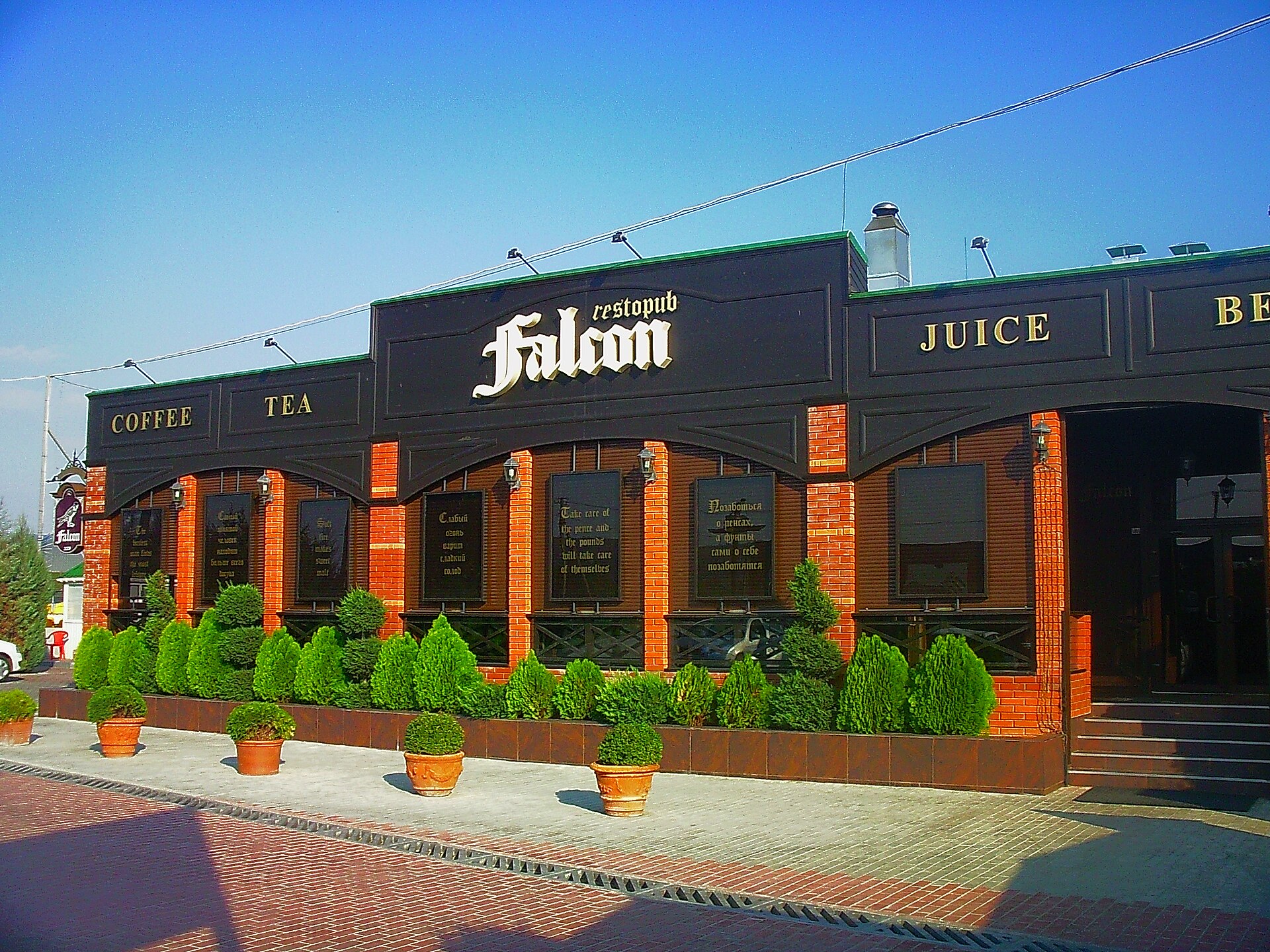
Poshtove
Ukraine
Poshtove: facts
At a glance
- Country: Ukraine
- Region: Crimea
- Administrative status: seat of a third-order administrative division (GeoNames code PPLA3)
- Population: approximately 3,086
- Coordinates: 44.8354° N, 33.9616° E
- Time zone: Europe/Simferopol (UTC+03:00)
- Currency: Hryvnia (UAH)
- Distance to the capital, Kyiv: 676 km (420 mi), straight line
Getting there
- Simferopol International Airport (SIP): 24 km (15 mi), straight line
- Kherson International Airport (KHE): 234 km (145 mi), straight line
- Anapa Vityazevo Airport (AAQ, Russia): 267 km (166 mi), straight line
Nearby
- Skalistoye: 2.4 km (1.5 mi)
- Chisten'koye: 8.5 km (5.3 mi)
- Plodovoye: 9.2 km (5.7 mi)
- Bakhchysaray: 12 km (8 mi)
- Perovo: 13 km (8 mi)
- Nearest place with over 100,000 inhabitants: Simferopol, 18 km (11 mi)
Sources
- Poshtove
Map