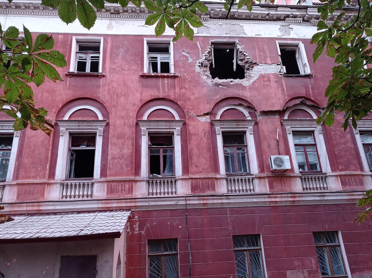
Marhanets
Ukraine
Marhanets: facts
At a glance
- Country: Ukraine
- Region: Dnipropetrovsk
- Administrative status: populated place (GeoNames code PPL)
- Population: approximately 44,980
- Coordinates: 47.6309° N, 34.6245° E
- Time zone: Europe/Kyiv (UTC+02:00 standard, UTC+03:00 daylight saving time)
- Currency: Hryvnia (UAH)
- Distance to the capital, Kyiv: 433 km (269 mi), straight line
Getting there
- Dnipro International Airport (DNK): 88 km (55 mi), straight line
- Kryvyi Rih International Airport (KWG): 115 km (72 mi), straight line
- Kherson International Airport (KHE): 192 km (119 mi), straight line
Nearby
- Enerhodar: 16 km (10 mi)
- Myrove: 18 km (11 mi)
- Vodiane: 18 km (11 mi)
- Nikopol: 19 km (12 mi)
- Mozolevske: 23 km (14 mi)
- Nearest place with over 100,000 inhabitants: Nikopol, 19 km (12 mi)
Sources
- Marhanets
Map