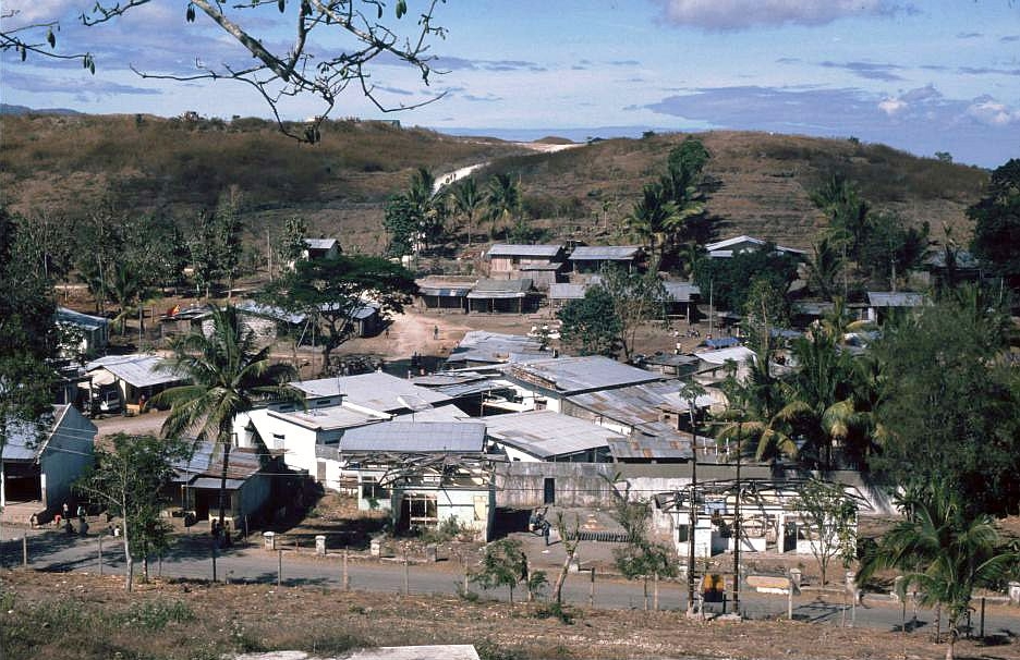
Balibo
Timor Leste
Balibo: facts
At a glance
- Country: Timor Leste
- Administrative status: populated place (GeoNames code PPL)
- Coordinates: 8.9689° S, 125.0406° E
- Time zone: Asia/Dili (UTC+09:00)
- Currency: Dollar (USD)
- Distance to the capital, Dili: 74 km (46 mi), straight line
Getting there
- AA Bere Tallo (Haliwen) Airport (ABU, Indonesia): 19 km (12 mi), straight line
- Commander in Chief of FALINTIL, Kay Rala Xanana Gusmão, International Airport (UAI): 46 km (28 mi), straight line
- Presidente Nicolau Lobato International Airport (DIL): 71 km (44 mi), straight line
Nearby
- Nunura: 7.2 km (4.5 mi)
- Batugade: 7.9 km (4.9 mi)
- Motaain: 9.6 km (5.9 mi)
- Biahian: 12 km (7 mi)
- Memo: 17 km (11 mi)
- Nearest place with over 100,000 inhabitants: Dili, 74 km (46 mi)
Sources
- Balibo
Map