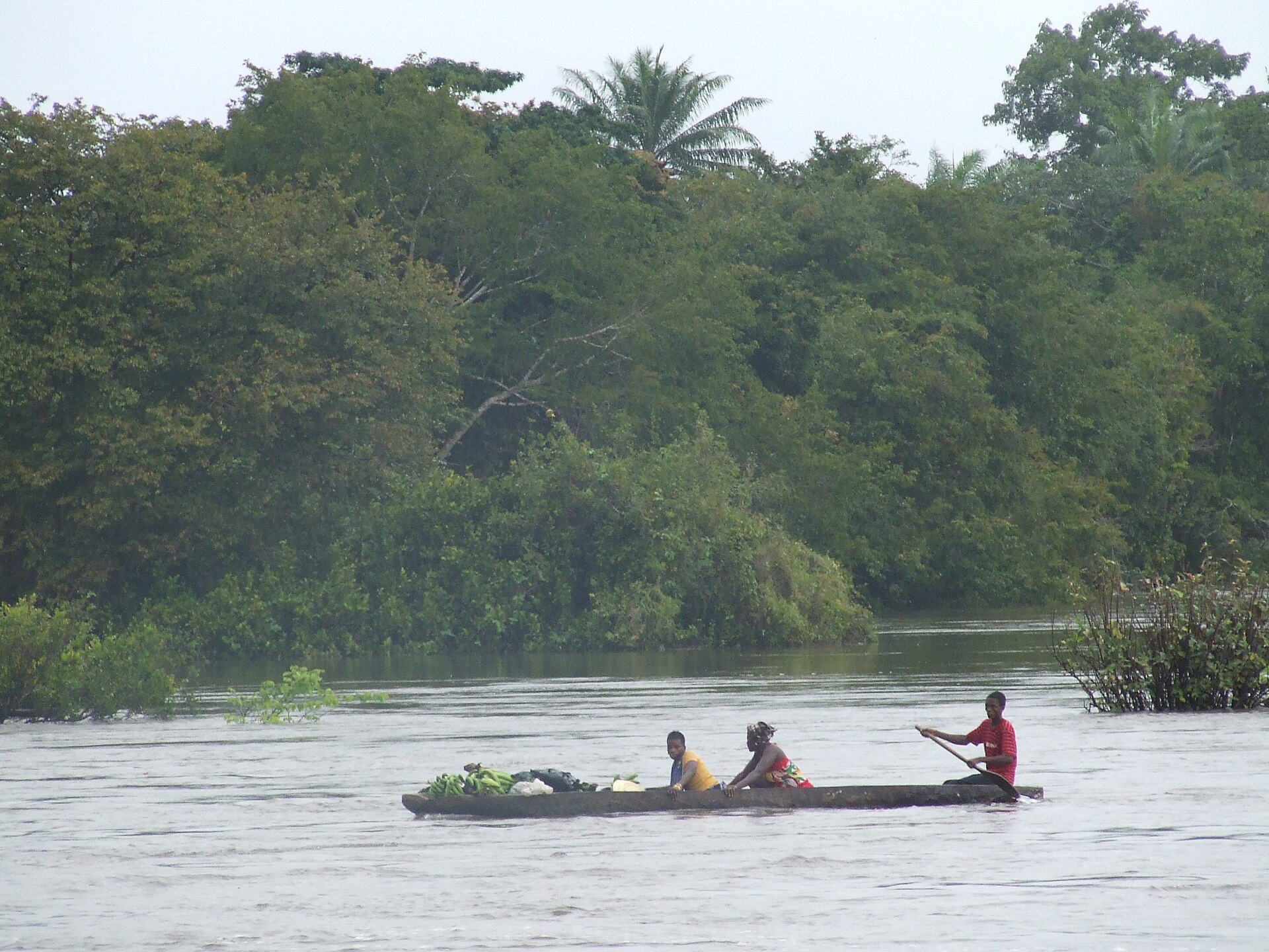
Lunsar
Sierra Leone
Lunsar: facts
At a glance
- Country: Sierra Leone
- Region: Northern Province
- Administrative status: populated place (GeoNames code PPL)
- Population: approximately 22,461
- Coordinates: 8.6844° N, 12.5350° W
- Time zone: Africa/Freetown (UTC+00:00)
- Currency: Leone (SLL)
- Distance to the capital, Freetown: 80 km (50 mi), straight line
Getting there
- Lungi International Airport (FNA): 73 km (45 mi), straight line
- Ahmed Sékou Touré International Airport (CKY, Guinea): 154 km (96 mi), straight line
Nearby
- Yengkisa: 28 km (17 mi)
- Port Loko: 29 km (18 mi)
- Yonibana: 42 km (26 mi)
- Mile 91: 43 km (27 mi)
- Yilogo: 45 km (28 mi)
- Nearest place with over 100,000 inhabitants: Freetown, 80 km (50 mi)
Sources
- Lunsar
Map