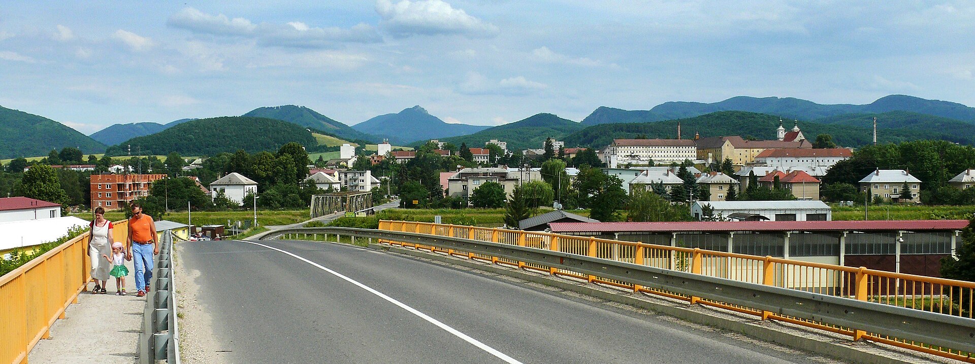
Ilava
Slovakia
Ilava: facts
At a glance
- Country: Slovakia
- Region: Trenčín Region
- Administrative status: seat of a second-order administrative division (GeoNames code PPLA2)
- Population: approximately 5,411
- Coordinates: 48.9977° N, 18.2353° E
- Time zone: Europe/Bratislava (UTC+01:00 standard, UTC+02:00 daylight saving time)
- Currency: Euro (EUR)
- Distance to the capital, Bratislava: 126 km (78 mi), straight line
Getting there
- Sliač Airport (SLD): 77 km (48 mi), straight line
- Leoš Janáček Airport Ostrava (OSR, Czechia): 78 km (49 mi), straight line
- Brno-Tuřany Airport (BRQ, Czechia): 114 km (71 mi), straight line
Nearby
- Dubnica nad Vahom: 6.6 km (4.1 mi)
- Nemsova: 9.2 km (5.7 mi)
- Puchov: 16 km (10 mi)
- Trencin: 18 km (11 mi)
- Povazska Bystrica: 19 km (12 mi)
- Nearest place with over 100,000 inhabitants: Ostrava, 93 km (58 mi)
Sources
- Ilava
Map