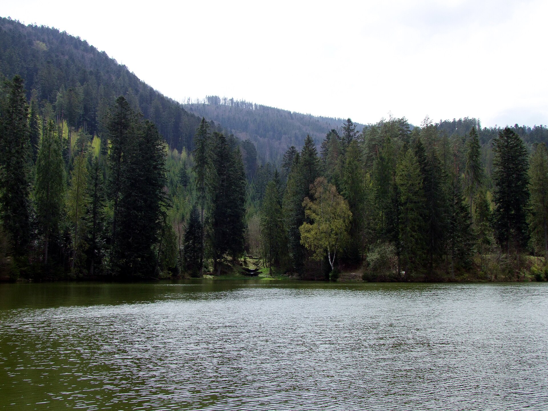
Gelnica
Slovakia
Gelnica: facts
At a glance
- Country: Slovakia
- Region: Košice Region
- Administrative status: seat of a second-order administrative division (GeoNames code PPLA2)
- Population: approximately 5,829
- Coordinates: 48.8558° N, 20.9371° E
- Time zone: Europe/Bratislava (UTC+01:00 standard, UTC+02:00 daylight saving time)
- Currency: Euro (EUR)
- Distance to the capital, Bratislava: 293 km (182 mi), straight line
Getting there
- Košice International Airport (KSC): 31 km (19 mi), straight line
- Poprad-Tatry Airport (TAT): 56 km (35 mi), straight line
- Uzhhorod International Airport (UDJ, Ukraine): 100 km (62 mi), straight line
Nearby
- Zehra: 17 km (11 mi)
- Zupcany: 24 km (15 mi)
- Presov: 27 km (17 mi)
- Kosice: 28 km (18 mi)
- Spisska Nova Ves: 29 km (18 mi)
- Nearest place with over 100,000 inhabitants: Kosice, 28 km (18 mi)
Sources
- Gelnica
Map