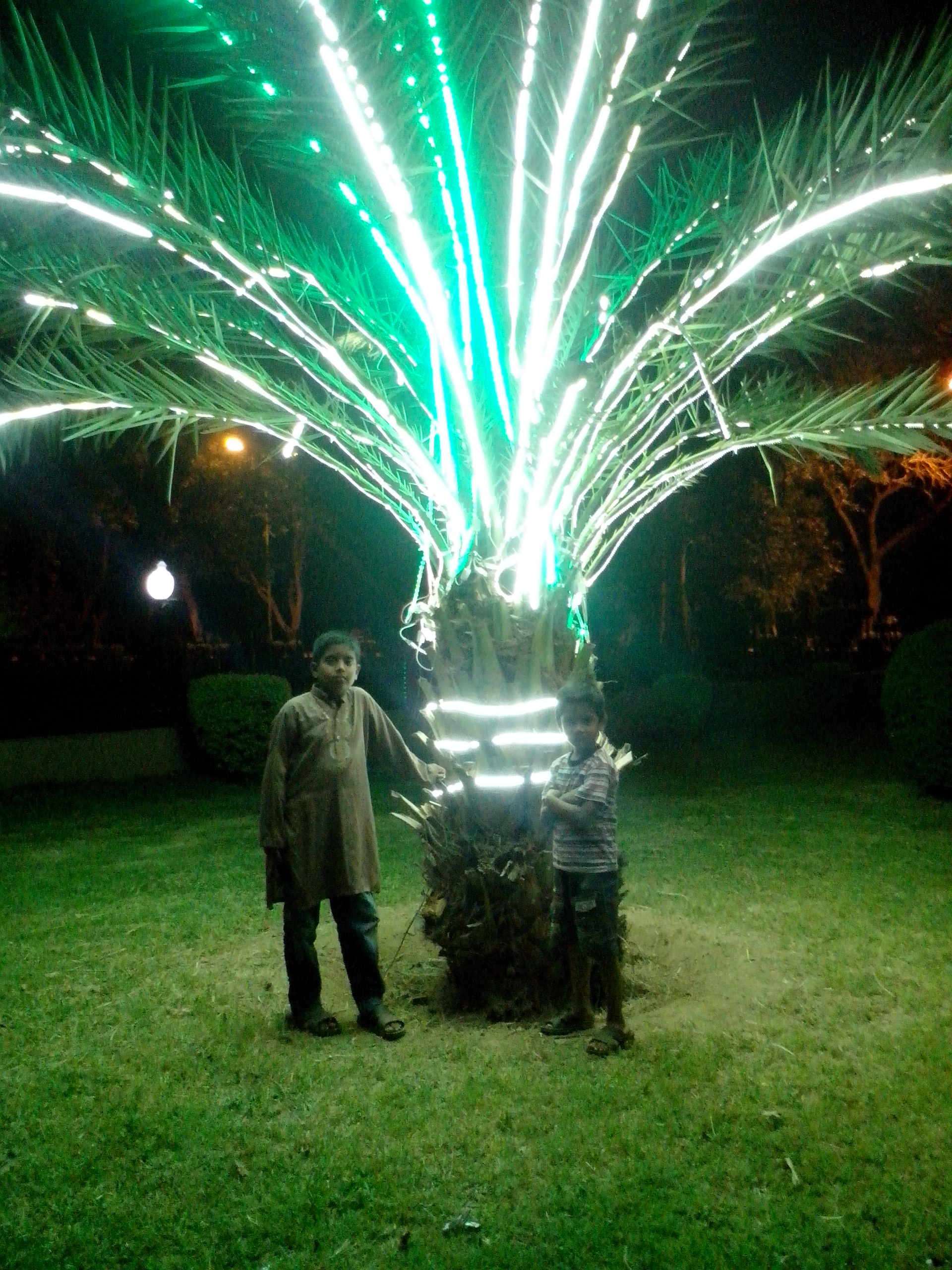
Wah Cantt
Pakistan
Wah Cantt: facts
At a glance
- Country: Pakistan
- Region: Punjab
- Administrative status: section of a populated place (GeoNames code PPLX)
- Population: approximately 400,733
- Coordinates: 33.7709° N, 72.7512° E
- Time zone: Asia/Karachi (UTC+05:00)
- Currency: Rupee (PKR)
- Distance to the capital, Islamabad: 28 km (17 mi), straight line
Getting there
- Islamabad International Airport (ISB): 26 km (16 mi), straight line
- Muzaffarabad Airport (MFG): 94 km (58 mi), straight line
- Bacha Khan International Airport (PEW): 117 km (73 mi), straight line
Nearby
- Fatehjang: 25 km (16 mi)
- Islamabad: 28 km (17 mi)
- Hazro City: 29 km (18 mi)
- Saidpur: 30 km (18 mi)
- Haripur: 30 km (19 mi)
Sources
- Wah Cantonment
Guides to Wah Cantt
Map