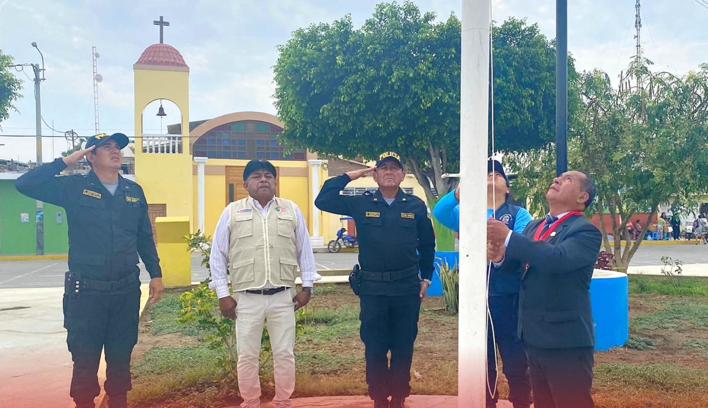
Pacanga
Peru
Pacanga: facts
At a glance
- Country: Peru
- Region: La Libertad
- Administrative status: seat of a third-order administrative division (GeoNames code PPLA3)
- Population: approximately 8,750
- Coordinates: 7.1667° S, 79.5000° W
- Time zone: America/Lima (UTC-05:00)
- Currency: Sol (PEN)
- Distance to the capital, Lima: 606 km (377 mi), straight line
Getting there
- Capitán FAP José A. Quiñones González International Airport (CIX): 55 km (34 mi), straight line
- Capitán FAP Carlos Martínez de Pinillos International Airport (TRU): 111 km (69 mi), straight line
- Mayor General FAP Armando Revoredo Iglesias Airport (CJA): 112 km (69 mi), straight line
Nearby
- Pueblo Nuevo: 2.9 km (1.8 mi)
- Guadalupe: 9.4 km (5.9 mi)
- Chepen: 10 km (7 mi)
- Zanjon: 20 km (13 mi)
- Mocupe: 24 km (15 mi)
- Nearest place with over 100,000 inhabitants: Chiclayo, 59 km (37 mi)
Sources
- Pacanga
Coming up in Pacanga
- 8 Dec 2026: Feast of the Immaculate Conception
- 9 Dec 2026: Battle of Ayacucho
- 24 Dec 2026: Christmas Eve
- 25 Dec 2026: Christmas Day
- 31 Dec 2026: New Year's Eve
- 1 Jan 2027: New Year's Day
- 6 Jan 2027: The Three Wise Men Day
Map