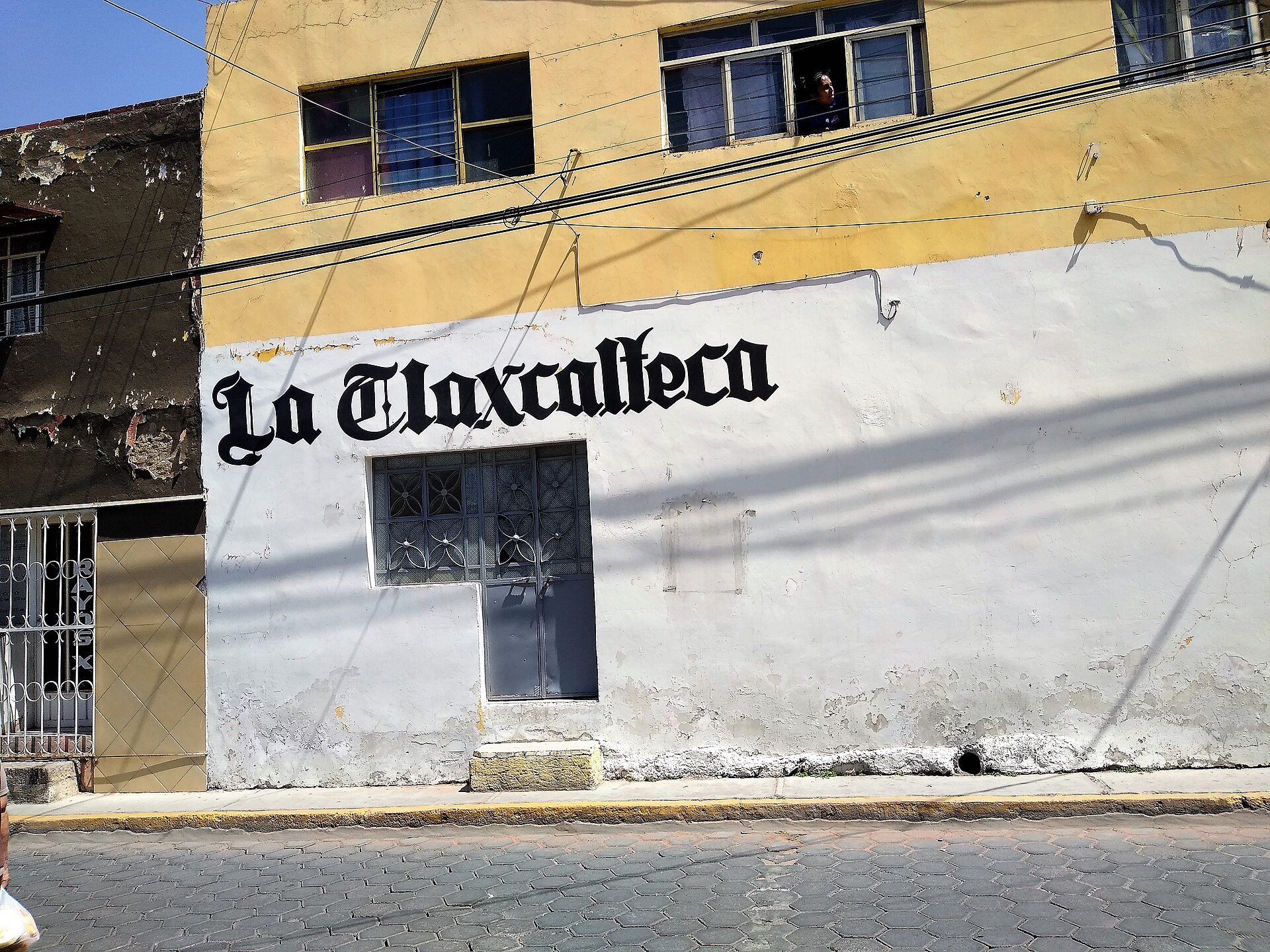
Zacatelco
Mexico
Zacatelco: facts
At a glance
- Country: Mexico
- Region: Tlaxcala
- Administrative status: populated place (GeoNames code PPL)
- Population: approximately 42,150
- Coordinates: 19.2158° N, 98.2397° W
- Time zone: America/Mexico_City (UTC-06:00)
- Currency: Peso (MXN)
- Distance to the capital, Mexico City: 96 km (60 mi), straight line
Getting there
- Hermanos Serdán International Airport (PBC): 15 km (9 mi), straight line
- Mexico City Benito Juárez International Airport (MEX): 91 km (56 mi), straight line
- Felipe Ángeles International Airport (NLU): 100 km (62 mi), straight line
Nearby
- Santa Cruz Quilehtla: 1.9 km (1.2 mi)
- San Juan Huactzinco: 2.4 km (1.5 mi)
- Tepeyanco: 3.4 km (2.1 mi)
- Xicohtzinco: 4.7 km (2.9 mi)
- Teolocholco: 6.0 km (3.7 mi)
- Nearest place with over 100,000 inhabitants: Cholula, 18 km (11 mi)
Sources
- Zacatelco
Coming up in Zacatelco
- 16 Nov 2026: Revolution Day Memorial
- 16 Nov 2026: Revolution Day
- 12 Dec 2026: Day of the Virgin of Guadalupe
- 12 Dec 2026: Our Lady of Guadalupe Day
- 16 Dec 2026: Posadas / Christmas
- 16 Dec 2026: Posadas and Christmas
- 25 Dec 2026: Christmas Day
- 31 Dec 2026: New Year's Eve
Map