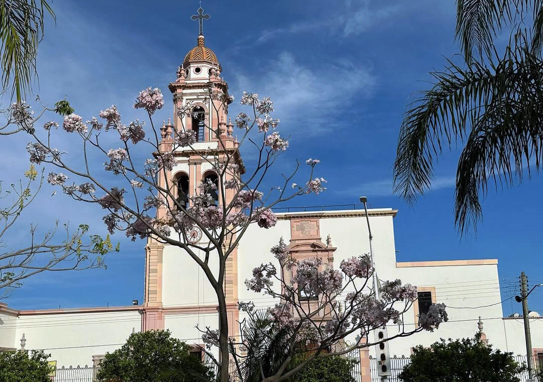
Cocula
Mexico
Cocula: facts
At a glance
- Country: Mexico
- Region: Guerrero
- Administrative status: seat of a second-order administrative division (GeoNames code PPLA2)
- Population: approximately 4,310
- Coordinates: 18.2412° N, 99.6620° W
- Time zone: America/Mexico_City (UTC-06:00)
- Currency: Peso (MXN)
- Distance to the capital, Mexico City: 144 km (89 mi), straight line
Getting there
- Adolfo López Mateos International Airport (TLC): 122 km (76 mi), straight line
- Mexico City Benito Juárez International Airport (MEX): 147 km (91 mi), straight line
- General Juan N. Álvarez International Airport (ACA): 165 km (103 mi), straight line
Nearby
- Iguala de la Independencia: 17 km (11 mi)
- Cuetzala del Progreso: 21 km (13 mi)
- Tepecoacuilco de Trujano: 22 km (13 mi)
- Teloloapan: 26 km (16 mi)
- Apaxtla de Castrejon: 31 km (19 mi)
- Nearest place with over 100,000 inhabitants: Iguala de la Independencia, 17 km (11 mi)
Coming up in Cocula
- 16 Nov 2026: Revolution Day Memorial
- 16 Nov 2026: Revolution Day
- 12 Dec 2026: Day of the Virgin of Guadalupe
- 12 Dec 2026: Our Lady of Guadalupe Day
- 16 Dec 2026: Posadas / Christmas
- 16 Dec 2026: Posadas and Christmas
- 25 Dec 2026: Christmas Day
- 31 Dec 2026: New Year's Eve
Map