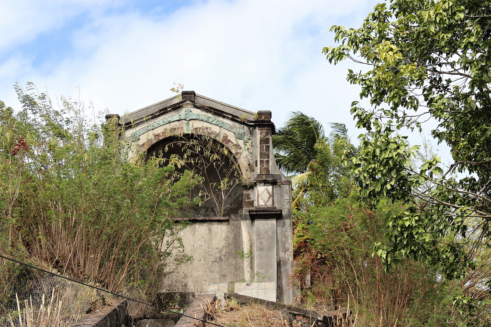
Schoelcher
Martinique
Schoelcher: facts
At a glance
- Country: Martinique
- Region: Martinique
- Administrative status: seat of a fourth-order administrative division (GeoNames code PPLA4)
- Coordinates: 14.6177° N, 61.0990° W
- Time zone: America/Martinique (UTC-04:00)
- Currency: Euro (EUR)
- Distance to the capital, Fort-de-France: 3.1 km (1.9 mi), straight line
Getting there
- Martinique Aimé Césaire International Airport (FDF): 11 km (7 mi), straight line
- George F. L. Charles Airport (SLU, Saint Lucia): 67 km (42 mi), straight line
- Canefield Airport (DCF, Dominica): 86 km (53 mi), straight line
Nearby
- Fort-de-France: 3.1 km (1.9 mi)
- Saint-Joseph: 8.8 km (5.4 mi)
- Le Lamentin: 11 km (7 mi)
- Ducos: 14 km (9 mi)
- Le Robert: 18 km (11 mi)
- Nearest place with over 100,000 inhabitants: Carupano, 498 km (309 mi)
Sources
- Schœlcher
Map