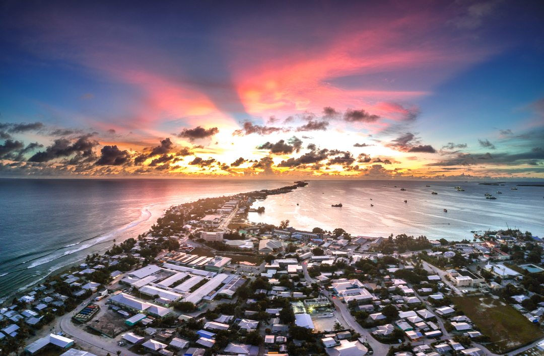
Dalap-Uliga-Dorrit
Marshall Islands
Dalap-Uliga-Dorrit: facts
At a glance
- Country: Marshall Islands
- Administrative status: populated place (GeoNames code PPL)
- Population: approximately 20,301
- Coordinates: 7.0870° N, 171.3770° E
- Time zone: Pacific/Majuro (UTC+12:00)
- Currency: Dollar (USD)
- Distance to the capital, Majuro: 0.5 km (0.3 mi), straight line
Getting there
- Marshall Islands International Airport (MAJ): 12 km (7 mi), straight line
- Mili Island Airport (MIJ): 118 km (73 mi), straight line
- Aur Island Airport (AUL): 120 km (74 mi), straight line
Nearby
- Majuro: 0.5 km (0.3 mi)
- Rita: 4.7 km (2.9 mi)
- Ejit - relocation of Bikini inhabitants: 5.1 km (3.1 mi)
- Rairik: 7.4 km (4.6 mi)
- Arno: 20 km (12 mi)
Map