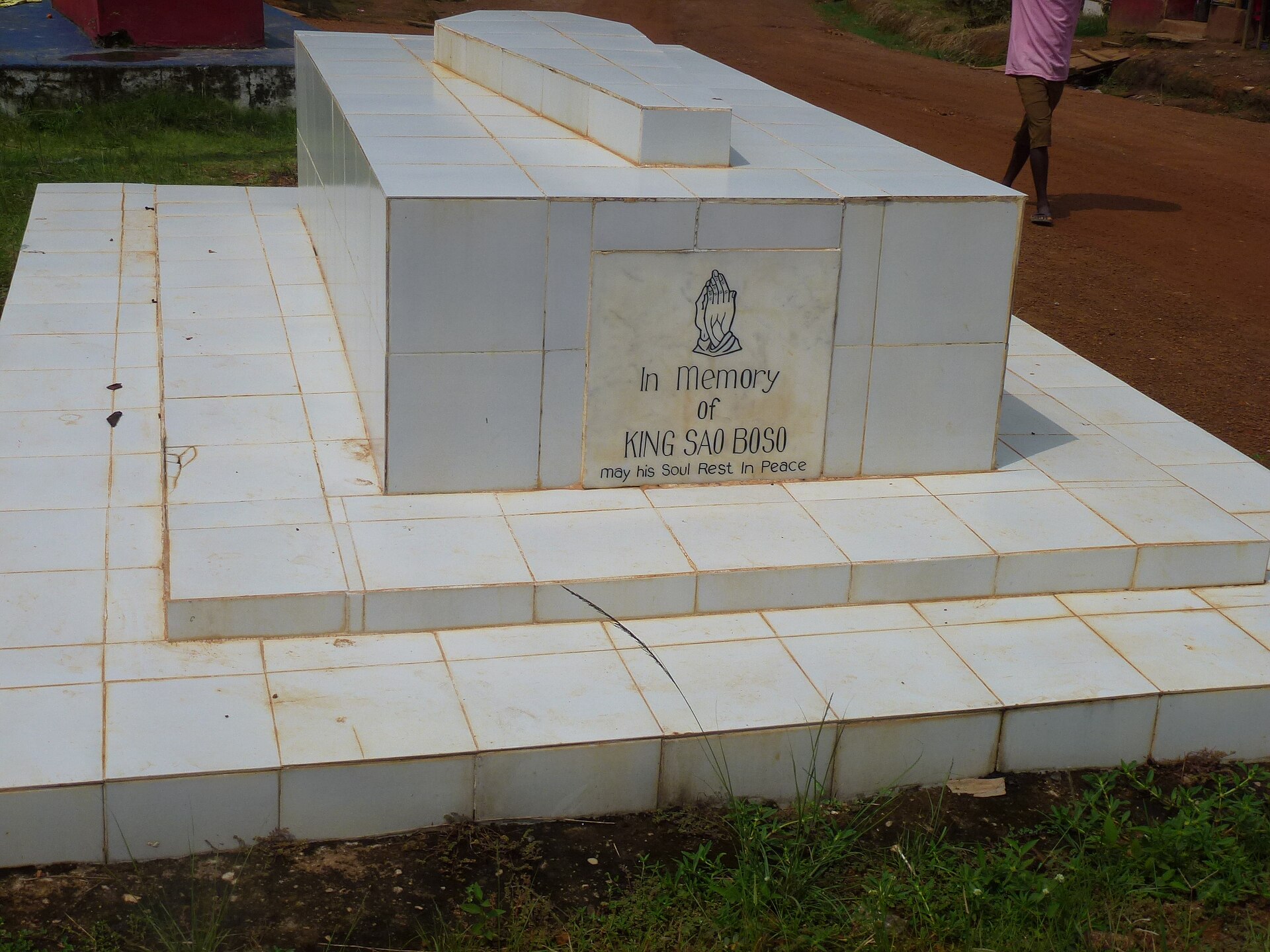
Bopolu
Liberia
Bopolu: facts
At a glance
- Country: Liberia
- Region: Gbarpolu County
- Administrative status: seat of a first-order administrative division (GeoNames code PPLA)
- Population: approximately 4,396
- Coordinates: 7.0667° N, 10.4875° W
- Time zone: Africa/Monrovia (UTC+00:00)
- Currency: Dollar (LRD)
- Distance to the capital, Monrovia: 92 km (57 mi), straight line
Getting there
- Spriggs Payne Airport (MLW): 92 km (57 mi), straight line
- Roberts International Airport (ROB): 94 km (58 mi), straight line
Nearby
- Zulota: 26 km (16 mi)
- Basu: 26 km (16 mi)
- Zuwolota: 31 km (19 mi)
- Zwiata: 31 km (20 mi)
- Zuo: 31 km (20 mi)
- Nearest place with over 100,000 inhabitants: Monrovia, 92 km (57 mi)
Sources
- Bopolu
Map